
| Distance / Altitude | Location | Report Date / Time | Live Weather | Wind | Gusts | Temp. | Visibility | Cloud |
|---|---|---|---|---|---|---|---|---|
| 24 km S / 3 m | BUOY-PGXA2 (Marine) | 2024-04-18 02:03 local (2024/04/18 10:03 GMT) | light winds from the NW (8 km/h at 320) | 6°C | - | |||
| 30 km NW / 3 m | BUOY-PCXA2 (Marine) | 2024-04-18 02:03 local (2024/04/18 10:03 GMT) | calm (4 km/h at 330) | 3°C | - | |||
| 30 km N / 210 m | Angoon Seaplane Base Airport (United States) | 2024-04-18 00:56 local (2024/04/18 08:56 GMT) | Clear | calm (0 km/h at 0) | 2°C | 16 | ||
| 49 km SW / 3 m | BUOY-ITKA2 (Marine) | 2024-04-18 01:48 local (2024/04/18 09:48 GMT) | - (- km/h at -) | 5°C | - | |||
| 49 km SW / 212 m | Sitka Airport (Alaska) | 2024-04-18 00:53 local (2024/04/18 08:53 GMT) | Clear | light winds from the N (6 km/h at 350) | 6°C | 16 |
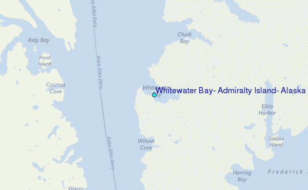
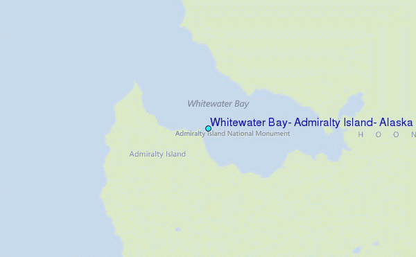
Choose Whitewater Bay, Admiralty Island, Alaska Location Map Zoom:
| Contours: | Roads & Rivers: | Select a
tide station / surf break / city |
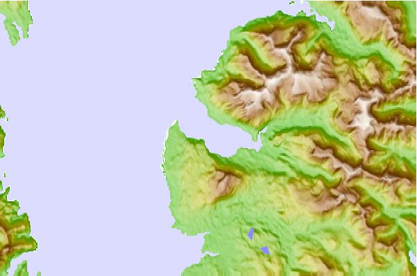
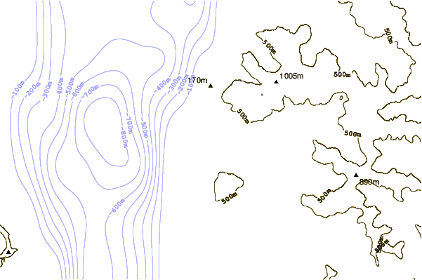
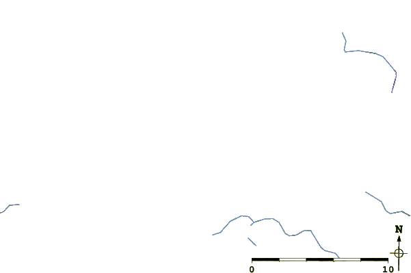
Use this relief map to navigate to tide stations, surf breaks and cities that are in the area of Whitewater Bay, Admiralty Island, Alaska.
Other Nearby Locations' tide tables and tide charts to Whitewater Bay, Admiralty Island, Alaska:
click location name for more details
 Surf breaks close to Whitewater Bay, Admiralty Island, Alaska:
|
||
|---|---|---|
| Closest surf break | Lepus Beach (Haida-Gwaii) | 221 mi |
| Second closest surf break | Cannon Beach | 244 mi |
| Third closest surf break | Tow Hill Beach | 244 mi |
| Fourth closest surf break | Graveyards | 247 mi |
| Fifth closest surf break | Ocean Cape | 249 mi |

 Nearest
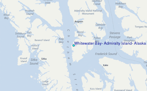