
| Distance / Altitude | Location | Report Date / Time | Live Weather | Wind | Gusts | Temp. | Visibility | Cloud |
|---|---|---|---|---|---|---|---|---|
| 68 km SE / - m | SHIP3474 (ocean) | 2024-04-16 03:00 local (2024/04/16 11:00 GMT) | - | moderate winds from the W (22 km/h at 270) | 5°C | - | no observation | |
| 68 km SE / - m | SHIP235 (ocean) | 2024-04-16 03:00 local (2024/04/16 11:00 GMT) | - | moderate winds from the W (22 km/h at 260) | 5°C | - | no observation | |
| 68 km SE / - m | SHIP395 (ocean) | 2024-04-16 03:00 local (2024/04/16 11:00 GMT) | - | moderate winds from the W (22 km/h at 260) | 5°C | - | no observation | |
| 68 km SE / - m | SHIP5470 (ocean) | 2024-04-16 03:00 local (2024/04/16 11:00 GMT) | - | moderate winds from the W (22 km/h at 260) | 5°C | - | no observation | |
| 68 km SE / - m | SHIP3896 (ocean) | 2024-04-16 05:00 local (2024/04/16 13:00 GMT) | - | light winds from the W (18 km/h at 260) | 5°C | - | no observation |
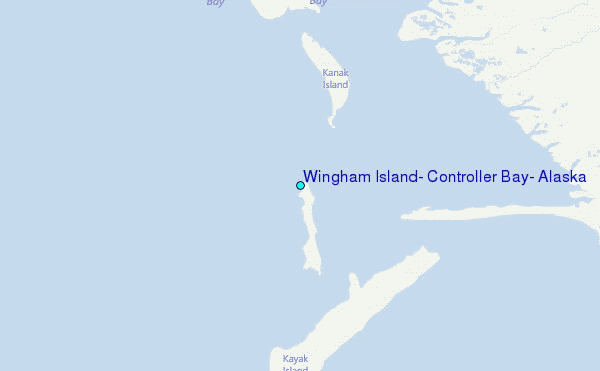
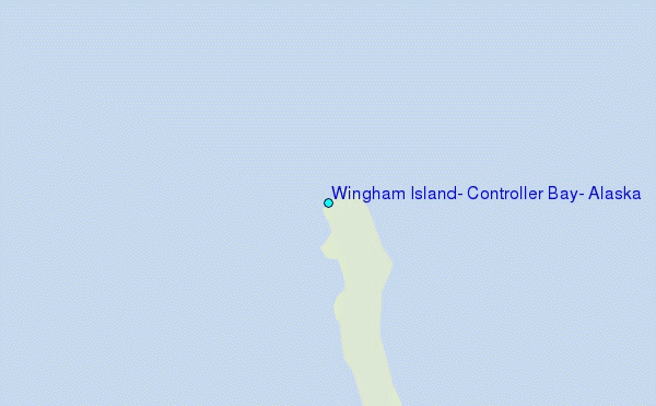
Choose Wingham Island, Controller Bay, Alaska Location Map Zoom:
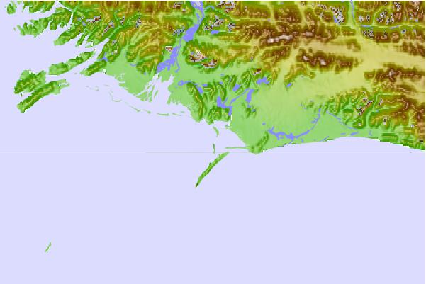
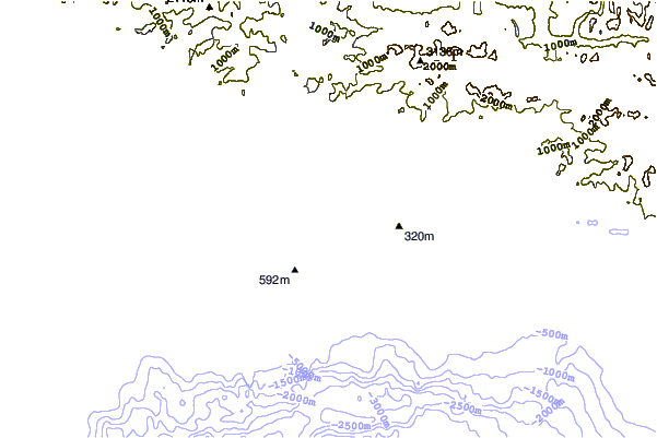
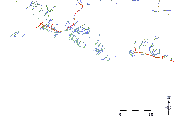
| Contours: | Roads & Rivers: | Select a
tide station / surf break / city |
Use this relief map to navigate to tide stations, surf breaks and cities that are in the area of Wingham Island, Controller Bay, Alaska.
Other Nearby Locations' tide tables and tide charts to Wingham Island, Controller Bay, Alaska:
click location name for more details
 Surf breaks close to Wingham Island, Controller Bay, Alaska:
|
||
|---|---|---|
| Closest surf break | Ocean Cape | 162 mi |
| Second closest surf break | Graveyards | 163 mi |
| Third closest surf break | Cannon Beach | 166 mi |
| Fourth closest surf break | Bird Point (Tidal Bore) | 243 mi |
| Fifth closest surf break | Mill Bay | 323 mi |

 Nearest
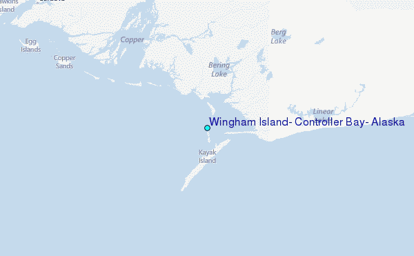