
| Distance / Altitude | Location | Report Date / Time | Live Weather | Wind | Gusts | Temp. | Visibility | Cloud |
|---|---|---|---|---|---|---|---|---|
| 160 km ENE / 15 m | Rea Point- NU (Canada) | 2026-06-09 08:00 local (2026/06/09 14:00 GMT) | no report | wind obs. (14 kph from 160 degs) was rejected (- km/h at -) | 0°C | - | - | |
| 160 km ENE / 12 m | Rae Point (Nunavut) | 2026-06-09 07:00 local (2026/06/09 13:00 GMT) | - | light winds from the ENE (11 km/h at 70) | -5°C | 0.0 | ||
| 201 km ESE / 11 m | Stefansson Island- NU (Canada) | 2026-06-09 08:00 local (2026/06/09 14:00 GMT) | no report | light winds from the SW (18 km/h at 230) | — | - | - | |
| 202 km ESE / 11 m | Stefansson Island Airport (Nunavut) | 2026-06-09 07:00 local (2026/06/09 13:00 GMT) | - | light winds from the ENE (6 km/h at 60) | -1°C | 0.0 | ||
| 284 km WSW / 32 m | Aulavik National Park- Nwt (Canada) | 2026-06-09 08:00 local (2026/06/09 14:00 GMT) | no report | moderate winds from the W (22 km/h at 270) | 1°C | - | - | |
| 288 km WNW / 2 m | Mould Bay Cs- Nwt (Canada) | 2026-06-09 08:00 local (2026/06/09 14:00 GMT) | - | wind obs. (14 kph from 320 degs) was rejected (- km/h at -) | — | - | - | |
| 319 km SW / 42 m | Thomsen River- Nwt (Canada) | 2026-06-09 08:00 local (2026/06/09 14:00 GMT) | no report | wind obs. (25 kph from 260 degs) was rejected (- km/h at -) | 1°C | - | - | |
| 464 km E / 113 m | Resolute (Canada) | 2026-06-09 08:00 local (2026/06/09 14:00 GMT) | no report | wind obs. (7 kph from 270 degs) was rejected (- km/h at -) | 0°C | - | - - - | |
| 464 km E / 216 m | Resolute Airport (N.w. Territories) | 2026-06-09 07:00 local (2026/06/09 13:00 GMT) | Drizzle | light winds from the SE (13 km/h at 130) | — | 0 | ||
| 464 km E / 113 m | Resolute CS Airport (Canada) | 2026-06-09 06:00 local (2026/06/09 12:00 GMT) | no report | light winds from the WNW (7 km/h at 290) | 1°C | - | - - - |
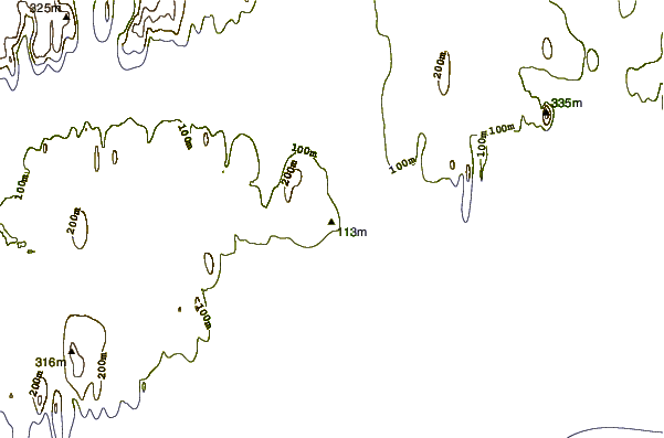
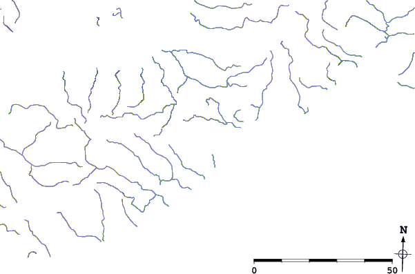
| Contours: | Roads & Rivers: | Select a
tide station / surf break / city |
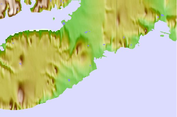
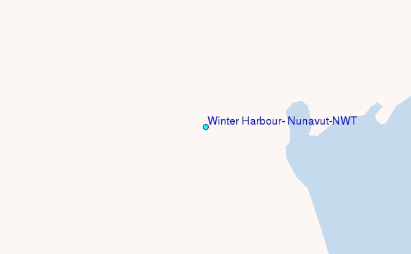
Use this relief map to navigate to tide stations, surf breaks and cities that are in the area of Winter Harbour, Nunavut/NWT.
Other Nearby Locations' tide tables and tide charts to Winter Harbour, Nunavut/NWT:
click location name for more details
 Surf breaks close to Winter Harbour, Nunavut/NWT:
|
||
|---|---|---|
| Closest surf break | Graveyards | 1282 mi |
| Second closest surf break | Ocean Cape | 1283 mi |
| Third closest surf break | Cannon Beach | 1284 mi |
| Fourth closest surf break | Bird Point (Tidal Bore) | 1392 mi |
| Fifth closest surf break | Tow Hill Beach | 1542 mi |


 Nearest
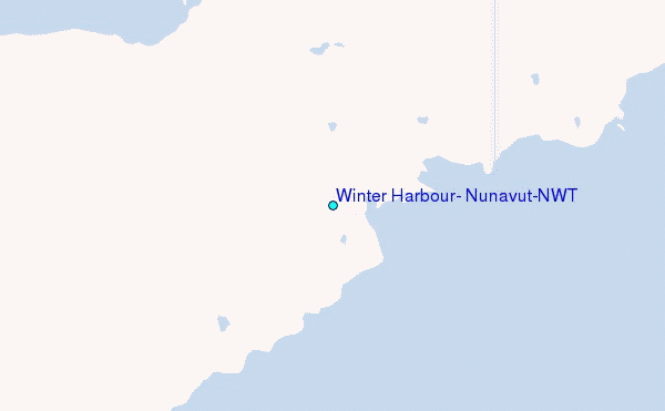