
| Distance / Altitude | Location | Report Date / Time | Live Weather | Wind | Gusts | Temp. | Visibility | Cloud |
|---|---|---|---|---|---|---|---|---|
| 261 km WSW / 15 m | ASCATC151E9S (Marine) | 2024-04-24 22:04 local (2024/04/24 12:04 GMT) | moderate winds from the ESE (22 km/h at 110) | — | - km | |||
| 305 km W / 15 m | ASCATC151E8S (Marine) | 2024-04-24 22:04 local (2024/04/24 12:04 GMT) | light winds from the ESE (19 km/h at 111) | — | - km | |||
| 312 km SW / 23 m | Gurney (Papua New Guinea) | 2024-04-24 22:00 local (2024/04/24 12:00 GMT) | haze | wind obs. (7 kph from 90 degs) was rejected (- km/h at -) | 32°C | 40 | - | |
| 317 km SSW / 15 m | ASCATC151E11S (Marine) | 2024-04-24 22:03 local (2024/04/24 12:03 GMT) | moderate winds from the SE (28 km/h at 132) | — | - km | |||
| 331 km S / 15 m | ASCATC152E12S (Marine) | 2024-04-24 22:03 local (2024/04/24 12:03 GMT) | fresh winds from the SE (33 km/h at 136) | — | - km |
| Contours: | Roads & Rivers: | Select a
tide station / surf break / city |
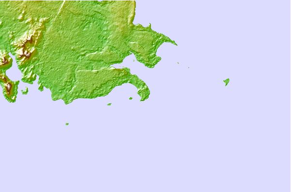
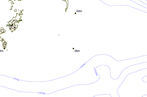
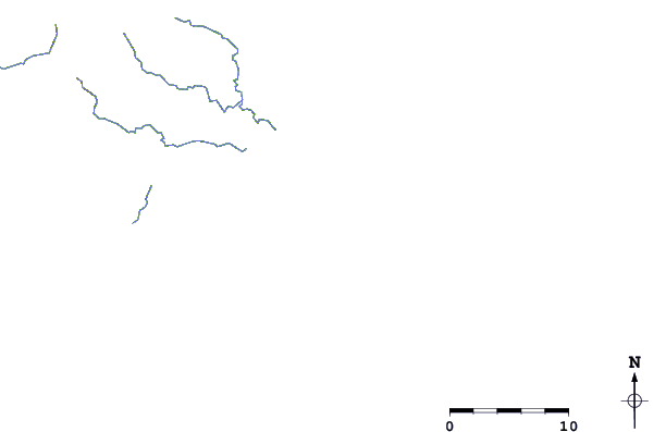
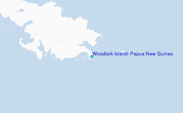
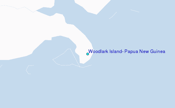
Use this relief map to navigate to tide stations, surf breaks and cities that are in the area of Woodlark Island, Papua New Guinea.
Other Nearby Locations' tide tables and tide charts to Woodlark Island, Papua New Guinea:
click location name for more details
 Surf breaks close to Woodlark Island, Papua New Guinea:
|
||
|---|---|---|
| Closest surf break | Pailongge | 273 mi |
| Second closest surf break | Titiana | 275 mi |
| Third closest surf break | Makuti | 283 mi |
| Fourth closest surf break | Despretes | 290 mi |
| Fifth closest surf break | Skull Island | 294 mi |

 Nearest
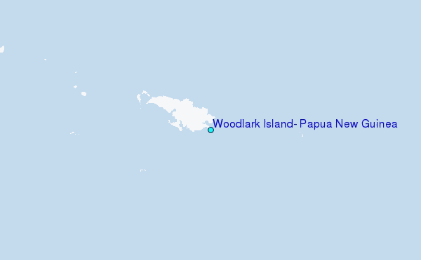