
| Distance / Altitude | Location | Report Date / Time | Live Weather | Wind | Gusts | Temp. | Visibility | Cloud |
|---|---|---|---|---|---|---|---|---|
| 8 km S / 218 m | Whidbey Island Airport (Washington) | 2026-06-08 23:53 local (2026/06/09 06:53 GMT) | Light rain | light winds from the NNE (7 km/h at 20) | 12°C | 10 | broken overcast | |
| 11 km NW / 15 m | SHIP6332 (Marine) | 2026-06-08 21:00 local (2026/06/09 04:00 GMT) | - (- km/h at -) | — | - km | |||
| 12 km ENE / 3 m | BUOY-PBFW1 (Marine) | 2026-06-09 00:30 local (2026/06/09 07:30 GMT) | light winds from the N (8 km/h at 350) | 12°C | - | |||
| 16 km ENE / 219 m | Skagit Burlington/Mt Vernon Airport (Washington) | 2026-06-09 00:15 local (2026/06/09 07:15 GMT) | Mist - | calm (0 km/h at 0) | 12°C | 10 | few few overcast | |
| 19 km SSW / 3 m | BUOY-SISW1 (Marine) | 2026-06-09 01:20 local (2026/06/09 08:20 GMT) | light winds from the N (17 km/h at 10) | 11°C | - | |||
| 19 km W / 16.2 m | Decatur Island (Washington) | 2026-06-09 00:27 local (2026/06/09 07:27 GMT) | dry | calm (0 km/h at 21) | — | - | - - 0 | |
| 20 km WSW / 30 m | Lopez Village (Washington) | 2026-06-09 01:24 local (2026/06/09 08:24 GMT) | dry | calm (3 km/h at 351) | 11°C | - | - - 0 | |
| 23 km WNW / 36 m | Lopez Island (Washington) | 2026-06-09 01:15 local (2026/06/09 08:15 GMT) | dry | calm (0 km/h at 280) | 11°C | - | - - 0 | |
| 26 km S / 61 m | OLF COUPEVILLE (WA) (United States) | 2026-06-09 00:17 local (2026/06/09 07:17 GMT) | - | calm.(Wind varies from 005 to 012 degs) (0 km/h at 0) | 12°C | 0.0 | ||
| 26 km W / 18 m | Lopez Island wx (United States) | 2026-06-09 01:05 local (2026/06/09 08:05 GMT) | dry | calm (0 km/h at 127) | 12°C | - | - - 0 |
| Contours: | Roads & Rivers: | Select a
tide station / surf break / city |
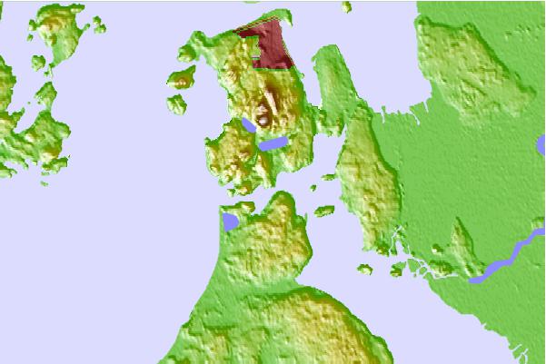
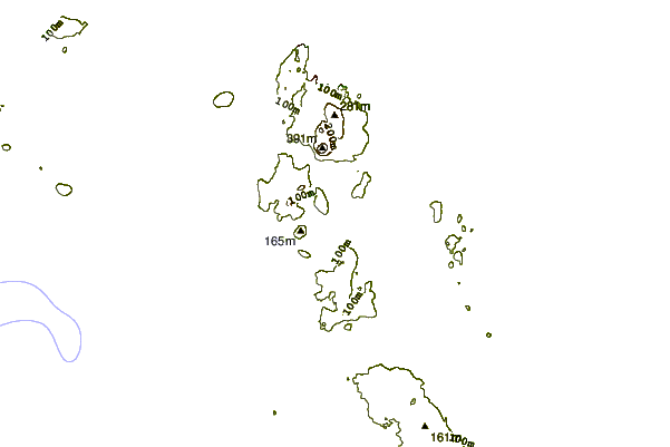
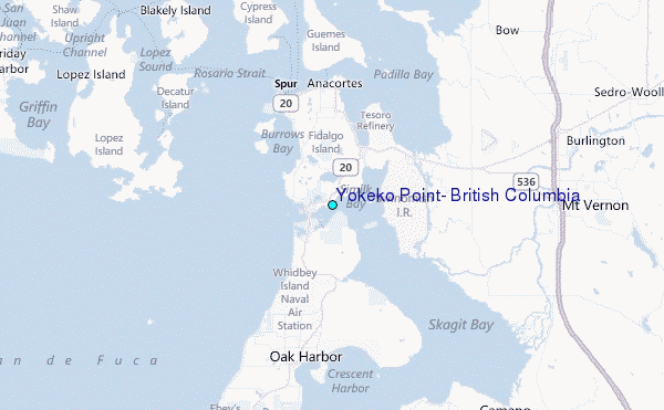
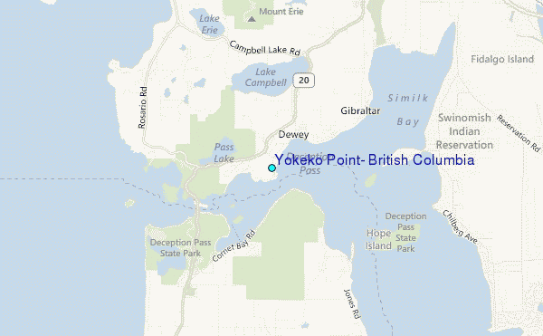
Use this relief map to navigate to tide stations, surf breaks and cities that are in the area of Yokeko Point, British Columbia.
Other Nearby Locations' tide tables and tide charts to Yokeko Point, British Columbia:
click location name for more details
 Surf breaks close to Yokeko Point, British Columbia:
|
||
|---|---|---|
| Closest surf break | Fort. Ebey | 15 mi |
| Second closest surf break | Super green | 37 mi |
| Third closest surf break | Elwha | 47 mi |
| Fourth closest surf break | Crescent | 53 mi |
| Fifth closest surf break | Whiskey Creek | 57 mi |


 Nearest
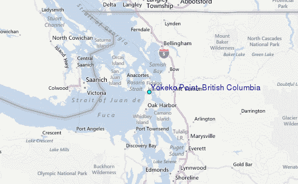