
| Distance / Altitude | Location | Report Date / Time | Live Weather | Wind | Gusts | Temp. | Visibility | Cloud |
|---|---|---|---|---|---|---|---|---|
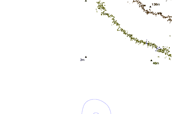
| 49 km NE / 705 m | Comunidad Nueva Alianza wx (Guatemala) | 2024-04-25 01:21 local (2024/04/25 07:21 GMT) | dry | calm (2 km/h at 331) | 19°C | - | - - 0 | |
| 54 km NNE / 950 m | Guatemala (Guatemala) | 2024-04-25 01:06 local (2024/04/25 07:06 GMT) | dry | - (- km/h at ) | — | - | - - 0 | |
| 57 km NNE / 1490 m | Guatemala (Guatemala) | 2024-04-25 01:26 local (2024/04/25 07:26 GMT) | dry | calm (0 km/h at 29) | 19°C | - | - - 0 | |
| 59 km NE / 1400 m | Guatemala (Guatemala) | 2024-04-25 00:34 local (2024/04/25 06:34 GMT) | dry | calm (0 km/h at 33) | — | - | - - 0 | |
| 91 km NE / 2492 m | Chotacaj wx (Guatemala) | 2024-04-25 01:39 local (2024/04/25 07:39 GMT) | dry | light winds from the E (6 km/h at 90) | 12°C | - | - - 0 |
| Contours: | Roads & Rivers: | Select a
tide station / surf break / city |
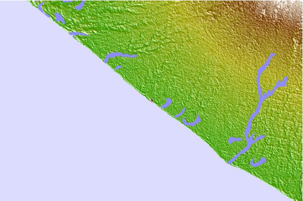
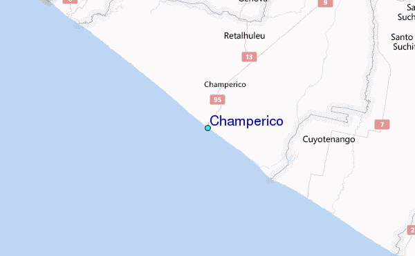
Use this relief map to navigate to tide stations, surf breaks and cities that are in the area of Champerico.
Other Nearby Locations' tide tables and tide charts to Champerico:
click location name for more details
 Surf breaks close to Champerico:
|
||
|---|---|---|
| Closest surf break | Tulate | 9 mi |
| Second closest surf break | Champerico | 10 mi |
| Third closest surf break | Tilapa | 26 mi |
| Fourth closest surf break | Ocos | 28 mi |
| Fifth closest surf break | Tecojate | 37 mi |

 Nearest
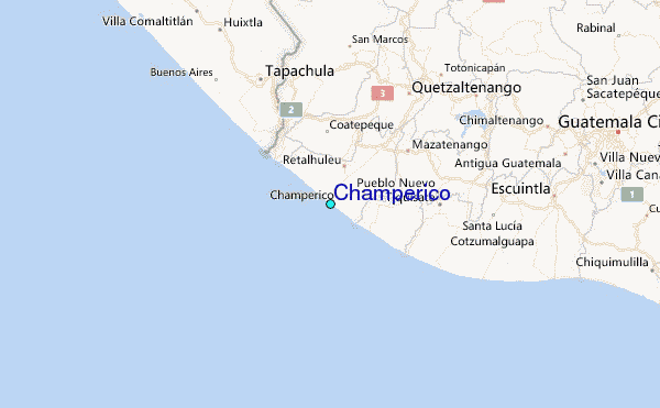