
| Distance / Altitude | Location | Report Date / Time | Live Weather | Wind | Gusts | Temp. | Visibility | Cloud |
|---|---|---|---|---|---|---|---|---|
| 32 km WSW / 14 m | Cartwright (Canada) | 2024-04-19 18:00 local (2024/04/19 21:00 GMT) | - | light winds from the ENE (15 km/h at 60) | 3°C | 36 km | - clear - | |
| 33 km SW / 12 m | Cartwright Airport (Newfoundland) | 2024-04-19 18:00 local (2024/04/19 21:00 GMT) | Clear | light winds from the ENE (15 km/h at 60) | 3°C | 14 | ||
| 168 km SSE / 1 m | Marys Harbour (Canada) | 2024-04-19 18:00 local (2024/04/19 21:00 GMT) | - | light winds from the NE (15 km/h at 50) | 2°C | 36 km | - clear - | |
| 170 km SSE / 217 m | Mary's Harbour Airport (Newfoundland) | 2024-04-19 18:00 local (2024/04/19 21:00 GMT) | Clear | light winds from the ENE (11 km/h at 60) | 2°C | 14 | ||
| 224 km WNW / 345 m | Makkovik Airport (Newfoundland) | 2024-04-19 17:00 local (2024/04/19 20:00 GMT) | - | light winds from the ENE.(Wind varies from 020 to 080 degs) (9 km/h at 60) | 2°C | 24 | few |
| Contours: | Roads & Rivers: | Select a
tide station / surf break / city |
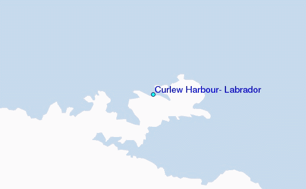
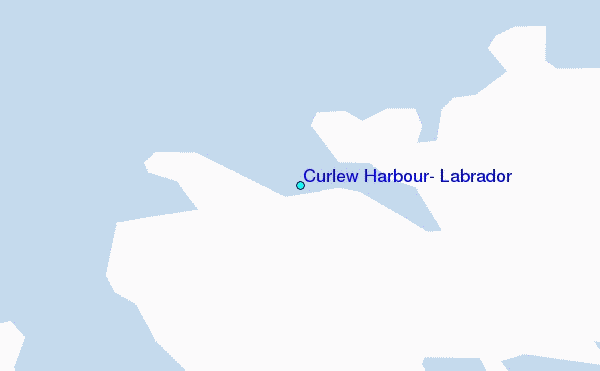
Use this relief map to navigate to tide stations, surf breaks and cities that are in the area of Curlew Harbour, Labrador.
Other Nearby Locations' tide tables and tide charts to Curlew Harbour, Labrador:
click location name for more details
 Surf breaks close to Curlew Harbour, Labrador:
|
||
|---|---|---|
| Closest surf break | Ingonish Beach | 520 mi |
| Second closest surf break | Kennington Cove | 566 mi |
| Third closest surf break | Michaud Point | 595 mi |
| Fourth closest surf break | Martinique | 694 mi |
| Fifth closest surf break | Lawrencetown Left Point | 700 mi |

 Nearest
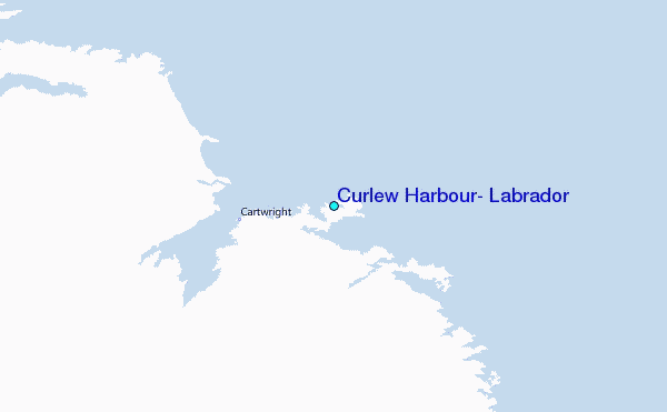