
| Distance / Altitude | Location | Report Date / Time | Live Weather | Wind | Gusts | Temp. | Visibility | Cloud |
|---|---|---|---|---|---|---|---|---|
| 71 km SW / 96 m | Catbalogan-Samar (Philippines) | 2024-04-25 05:00 local (2024/04/24 21:00 GMT) | clouds dissolving | calm (4 km/h at 40) | 26°C | 17 | - | |
| 193 km NE / - m | SHIP4192 (ocean) | 2024-04-25 04:00 local (2024/04/24 20:00 GMT) | Clouds dissolving | moderate winds from the SE (22 km/h at 140) | 27°C | 20 km | scattered | |
| 206 km WSW / 210 m | Macatan Airport (Philippines) | 2024-04-25 04:00 local (2024/04/24 20:00 GMT) | - | calm (4 km/h at 1) | 27°C | 10.0 | few | |
| 261 km SSE / 20 m | BRAVO SIARGAO (Philippines) | 2024-04-25 05:00 local (2024/04/24 21:00 GMT) | - | light winds from the ENE (15 km/h at 67) | 28°C | - | - - 0 | |
| 337 km WSW / 80 m | Dalipdip wx (Philippines) | 2024-04-25 05:02 local (2024/04/24 21:02 GMT) | dry | calm (3 km/h at 140) | 27°C | - | - - 0 |
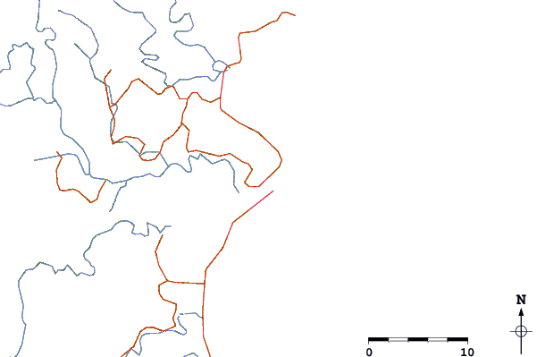
| Contours: | Roads & Rivers: | Select a
tide station / surf break / city |
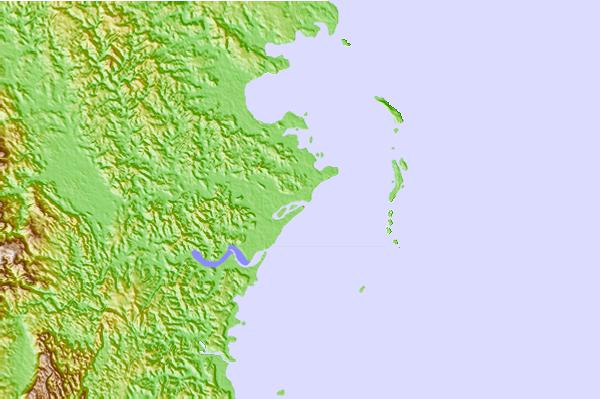
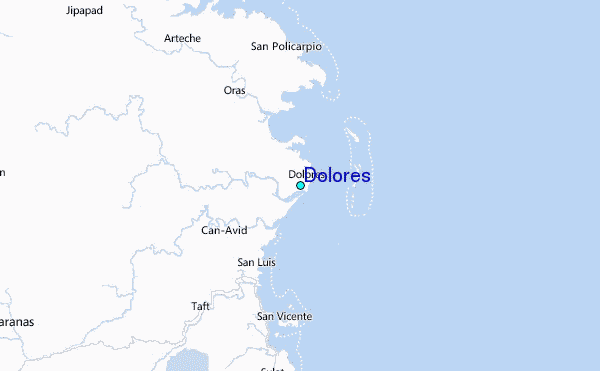
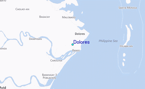
Use this relief map to navigate to tide stations, surf breaks and cities that are in the area of Dolores.
Other Nearby Locations' tide tables and tide charts to Dolores:
click location name for more details
 Surf breaks close to Dolores:
|
||
|---|---|---|
| Closest surf break | Boulevard | 30 mi |
| Second closest surf break | Pirates Cove | 30 mi |
| Third closest surf break | Santa Monica | 31 mi |
| Fourth closest surf break | Guitagican Beach | 32 mi |
| Fifth closest surf break | Llorente | 44 mi |

 Nearest
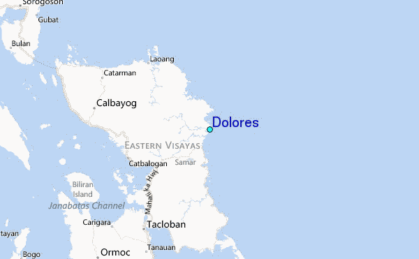