
| Distance / Altitude | Location | Report Date / Time | Live Weather | Wind | Gusts | Temp. | Visibility | Cloud |
|---|---|---|---|---|---|---|---|---|
| 108 km WNW / 12 m | Over Yonder Cay (Bahamas) | 2024-04-19 21:13 local (2024/04/20 01:13 GMT) | dry | - (- km/h at ) | — | - | - - 0 | |
| 128 km ESE / 15 m | SHIP2573 (Marine) | 2024-04-19 21:00 local (2024/04/20 01:00 GMT) | - (- km/h at -) | — | - km | |||
| 141 km ENE / 5 m | Cockburn Town/San Salvador Airport (Bahamas) | 2024-04-19 20:00 local (2024/04/20 00:00 GMT) | - | light winds from the E (9 km/h at 90) | — | 0.0 | ||
| 242 km WNW / 204 m | Nassau International Airport (Bahamas) | 2024-04-19 20:00 local (2024/04/20 00:00 GMT) | - | calm (4 km/h at 1) | 24°C | 10.0 | few | |
| 149 km SE / 3 m | SHIP1705 (Marine) | 2024-04-19 20:00 local (2024/04/20 00:00 GMT) | - (- km/h at -) | 25°C | - |
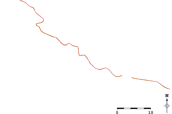
| Contours: | Roads & Rivers: | Select a
tide station / surf break / city |
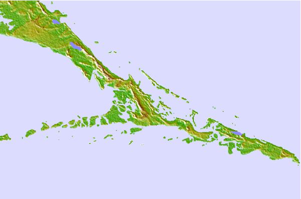
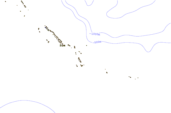
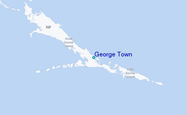
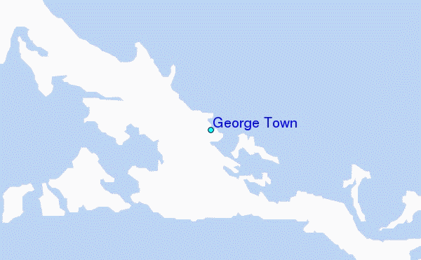
Use this relief map to navigate to tide stations, surf breaks and cities that are in the area of George Town.
Other Nearby Locations' tide tables and tide charts to George Town:
click location name for more details
 Surf breaks close to George Town:
|
||
|---|---|---|
| Closest surf break | Rock Sound | 98 mi |
| Second closest surf break | North Palmetto Point | 117 mi |
| Third closest surf break | James Point | 132 mi |
| Fourth closest surf break | Hidden Beach | 134 mi |
| Fifth closest surf break | The Dump | 135 mi |

 Nearest
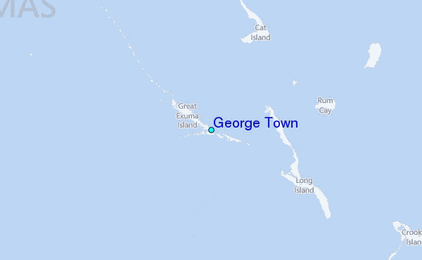