
| Distance / Altitude | Location | Report Date / Time | Live Weather | Wind | Gusts | Temp. | Visibility | Cloud |
|---|---|---|---|---|---|---|---|---|
| 2 km ENE / 40 m | HokitikaAeroAws (New Zealand) | 2024-04-26 04:00 local (2024/04/25 16:00 GMT) | no report | moderate winds from the W (28 km/h at 280) | 11°C | 2000 | - no observation - | |
| 6 km SSW / 2 m | Hokitika South (New Zealand) | 2024-04-26 04:10 local (2024/04/25 16:10 GMT) | Recent light rain | strong winds from the W (43 km/h at 270) | 13°C | - | - - - | |
| 24 km S / 66 m | Ross (New Zealand) | 2024-04-26 04:10 local (2024/04/25 16:10 GMT) | Recent light rain | calm (0 km/h at 315) | 10°C | - | - - - | |
| 55 km ESE / 737 m | Arthur's Pass National Park Visitor Centre (New Zealand) | 2024-04-26 04:10 local (2024/04/25 16:10 GMT) | Recent heavy rain | light winds from the NW (7 km/h at 315) | 6°C | - | - - - | |
| 97 km SE / 541 m | Porters Pass (New Zealand) | 2024-04-26 04:10 local (2024/04/25 16:10 GMT) | Recent moderate rain | light winds from the W (6 km/h at 270) | 9°C | - | - - - |
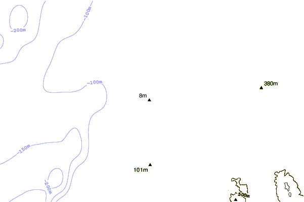
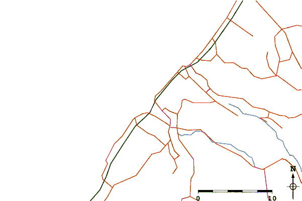
| Contours: | Roads & Rivers: | Select a
tide station / surf break / city |
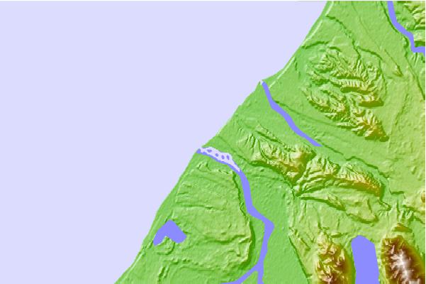
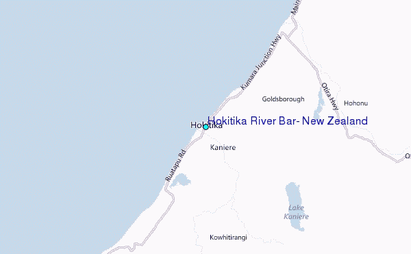
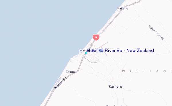
Use this relief map to navigate to tide stations, surf breaks and cities that are in the area of Hokitika River Bar, New Zealand.
Other Nearby Locations' tide tables and tide charts to Hokitika River Bar, New Zealand:
click location name for more details
 Surf breaks close to Hokitika River Bar, New Zealand:
|
||
|---|---|---|
| Closest surf break | Blaketown Wedge | 22 mi |
| Second closest surf break | Cobden Breakwater | 22 mi |
| Third closest surf break | Cobden Beach | 24 mi |
| Fourth closest surf break | Rapahoe | 27 mi |
| Fifth closest surf break | Nine Mile | 30 mi |

 Nearest
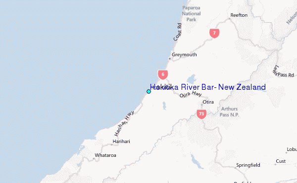