
| Distance / Altitude | Location | Report Date / Time | Live Weather | Wind | Gusts | Temp. | Visibility | Cloud |
|---|---|---|---|---|---|---|---|---|
| 12 km NW / 214 m | Hamheung (North Korea) | 2024-04-26 05:30 local (2024/04/25 21:00 GMT) | - | light winds from the E (7 km/h at 90) | 13°C | 40 km | clear | |
| 53 km ENE / 211 m | Sinpo (North Korea) | 2024-04-26 05:30 local (2024/04/25 21:00 GMT) | - | calm (4 km/h at 320) | 10°C | 30 km | clear | |
| 67 km NW / 1080 m | Changjin (North Korea) | 2024-04-26 05:30 local (2024/04/25 21:00 GMT) | - | light winds from the N (7 km/h at 360) | 6°C | 40 km | clear | |
| 74 km S / 213 m | Wonsan (North Korea) | 2024-04-26 05:30 local (2024/04/25 21:00 GMT) | - | calm (0 km/h at 0) | 16°C | 40 km | clear | |
| 101 km SSW / 212 m | Yangdok (North Korea) | 2024-04-26 05:30 local (2024/04/25 21:00 GMT) | Fog, sky not visible, no change | calm (0 km/h at 0) | 7°C | 0.2 km | sky obscured |
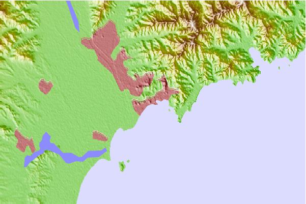
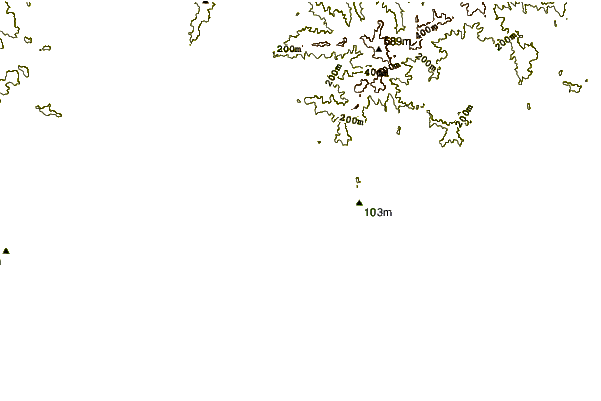
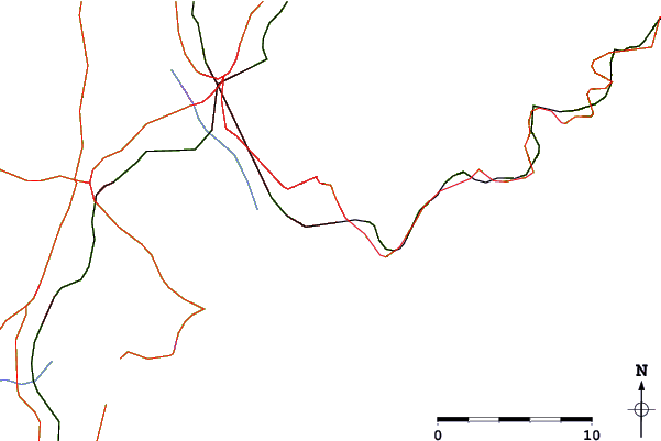
| Contours: | Roads & Rivers: | Select a
tide station / surf break / city |
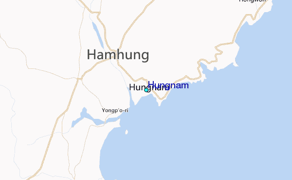
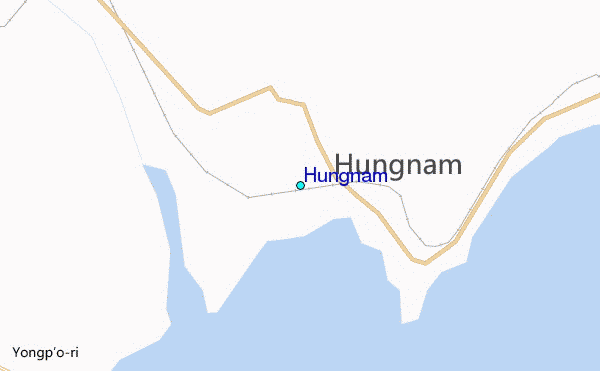
Use this relief map to navigate to tide stations, surf breaks and cities that are in the area of Hungnam.
Other Nearby Locations' tide tables and tide charts to Hungnam:
click location name for more details
 Surf breaks close to Hungnam:
|
||
|---|---|---|
| Closest surf break | Songdojin ni | 94 mi |
| Second closest surf break | 38 Line | 140 mi |
| Third closest surf break | Ingu Beach | 141 mi |
| Fourth closest surf break | Jumunjin | 150 mi |
| Fifth closest surf break | Gyongpo Beach | 156 mi |

 Nearest
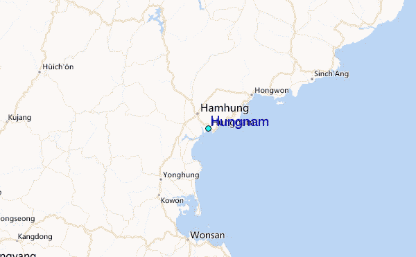