
| Distance / Altitude | Location | Report Date / Time | Live Weather | Wind | Gusts | Temp. | Visibility | Cloud |
|---|---|---|---|---|---|---|---|---|
| 28 km NW / 15 m | SHIP10485 (Marine) | 2024-04-19 02:00 local (2024/04/19 00:00 GMT) | - (- km/h at -) | — | - km | |||
| 28 km S / 16 m | Woensdrecht (Netherlands) | 2024-04-19 04:00 local (2024/04/19 02:00 GMT) | Light drizzle and rain | fresh winds from the SW (29 km/h at 230) | 8°C | 30 km | overcast | |
| 28 km S / 219 m | Woensdrecht Royal Netherlands Air Force Base Airport (Netherlands) | 2024-04-19 03:34 local (2024/04/19 01:34 GMT) | Drizzle | moderate winds from the SW (20 km/h at 230) | — | 9.0 | scattered broken few | |
| 29 km ESE / 219 m | Gilze-Rijen Air Base Airport (Netherlands) | 2024-04-19 03:39 local (2024/04/19 01:39 GMT) | Drizzle | light winds from the WSW.(Wind varies from 200 to 270 degs) (17 km/h at 240) | 7°C | 10.0 | few broken overcast | |
| 30 km ESE / 13 m | GilzeRijen (Netherlands) | 2024-04-19 04:00 local (2024/04/19 02:00 GMT) | continuous light rain | light winds from the WSW (14 km/h at 240) | 7°C | 10 | - overcast - |
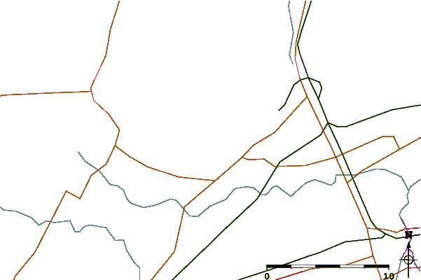
| Contours: | Roads & Rivers: | Select a
tide station / surf break / city |
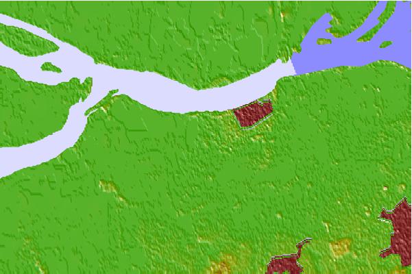
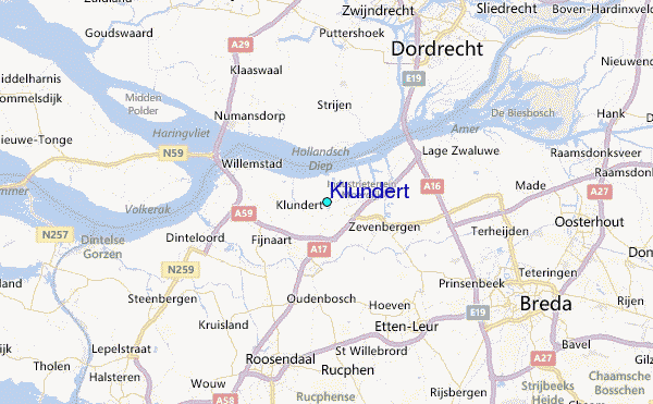
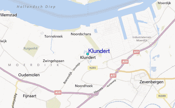
Use this relief map to navigate to tide stations, surf breaks and cities that are in the area of Klundert.
Other Nearby Locations' tide tables and tide charts to Klundert:
click location name for more details
 Surf breaks close to Klundert:
|
||
|---|---|---|
| Closest surf break | Blokken | 27 mi |
| Second closest surf break | Maasvlakte | 27 mi |
| Third closest surf break | Slufter | 27 mi |
| Fourth closest surf break | Maasexpress | 28 mi |
| Fifth closest surf break | Ter Heijde | 30 mi |

 Nearest
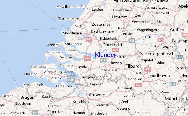