
| Distance / Altitude | Location | Report Date / Time | Live Weather | Wind | Gusts | Temp. | Visibility | Cloud |
|---|---|---|---|---|---|---|---|---|
| 3 km N / 240 m | Dandong ( 丹东) Airport (Peoples Republic Of China) | 2024-04-24 18:00 local (2024/04/24 10:00 GMT) | no report | light winds from the SSW (11 km/h at 210) | 14°C | 22 | - | |
| 85 km NNE / 189 m | Kuandian (Peoples Republic Of China) | 2024-04-24 18:00 local (2024/04/24 10:00 GMT) | no report | light winds from the ESE (11 km/h at 120) | 15°C | 30 | - | |
| 150 km NW / 189 m | Benxi ( 本溪) (Peoples Republic Of China) | 2024-04-24 18:00 local (2024/04/24 10:00 GMT) | no report | light winds from the N (7 km/h at 350) | 20°C | 27 | - | |
| 194 km W / 240 m | Yingkou ( 营口) (Peoples Republic Of China) | 2024-04-24 18:00 local (2024/04/24 10:00 GMT) | no report | light winds from the SW (18 km/h at 220) | 14°C | 15 | - | |
| 202 km NW / 49 m | Shenyang (China) | 2024-04-24 18:00 local (2024/04/24 10:00 GMT) | no report | light winds from the SSW (11 km/h at 210) | 19°C | 30 | - |
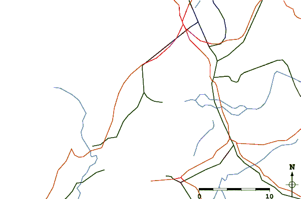
| Contours: | Roads & Rivers: | Select a
tide station / surf break / city |
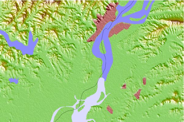

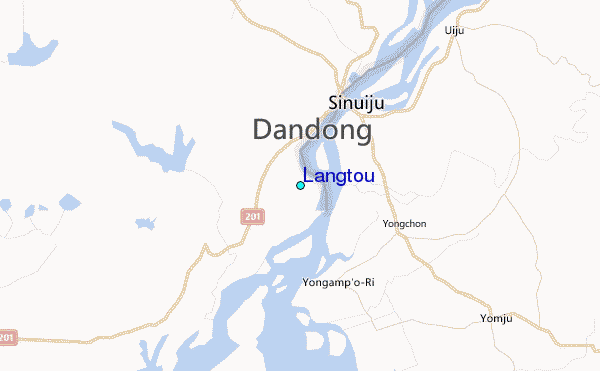
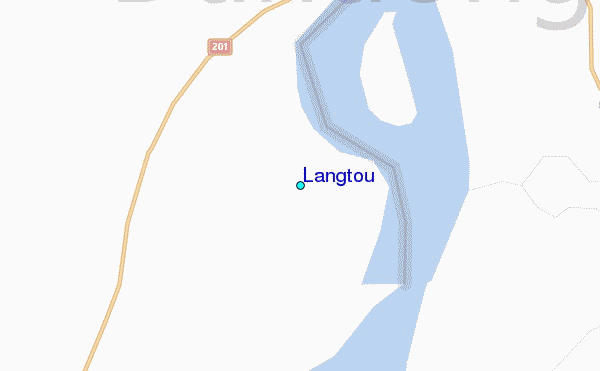
Use this relief map to navigate to tide stations, surf breaks and cities that are in the area of Langtou.
Other Nearby Locations' tide tables and tide charts to Langtou:
click location name for more details
 Surf breaks close to Langtou:
|
||
|---|---|---|
| Closest surf break | Songdojin ni | 237 mi |
| Second closest surf break | 38 Line | 275 mi |
| Third closest surf break | Ingu Beach | 276 mi |
| Fourth closest surf break | Jumunjin | 284 mi |
| Fifth closest surf break | Gyongpo Beach | 290 mi |

 Nearest
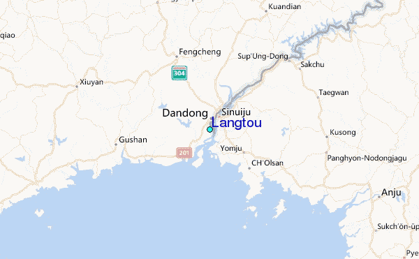