
| Distance / Altitude | Location | Report Date / Time | Live Weather | Wind | Gusts | Temp. | Visibility | Cloud |
|---|---|---|---|---|---|---|---|---|
| 35 km NE / 630 m | AOK-Kitheronas (Greece) | 2024-04-19 11:00 local (2024/04/19 08:00 GMT) | - | light winds from the W (9 km/h at 270) | 14°C | - | - - 0 | |
| 51 km ENE / 219 m | Elefsis Hellenic Air Force Base (Greece) | 2024-04-19 10:20 local (2024/04/19 07:20 GMT) | no report | light winds from the S (7 km/h at 180) | 18°C | 10 | few - - | |
| 53 km N / 99 m | Agios Dimitrios Viotias (Greece) | 2024-04-19 10:03 local (2024/04/19 07:03 GMT) | dry | light winds from the ESE (10 km/h at 111) | 18°C | - | - - 0 | |
| 55 km E / 15 m | SHIP10752 (Marine) | 2024-04-19 09:00 local (2024/04/19 06:00 GMT) | - (- km/h at -) | — | - km | |||
| 60 km NE / 634 m | Tanagra Air Force Base Airport (Greece) | 2024-04-19 09:50 local (2024/04/19 06:50 GMT) | - | calm (0 km/h at 0) | 17°C | 10.0 | few |
| Contours: | Roads & Rivers: | Select a
tide station / surf break / city |
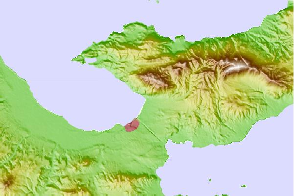
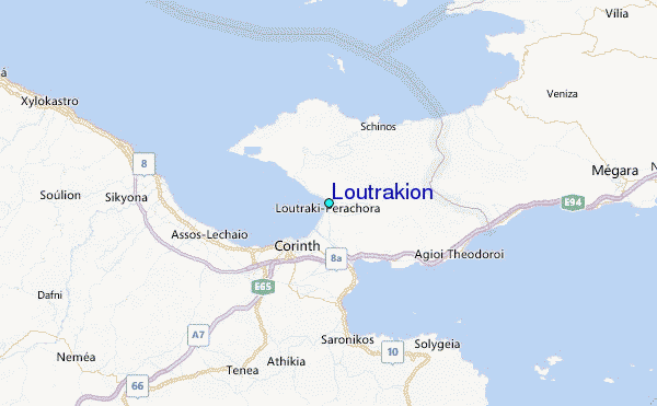
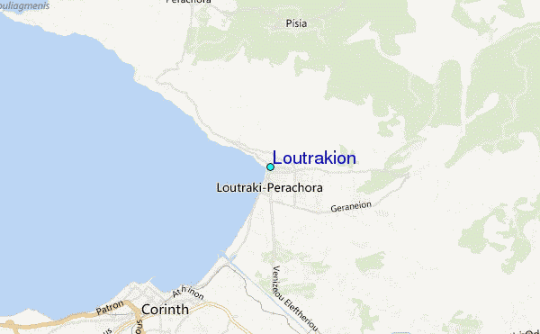
Use this relief map to navigate to tide stations, surf breaks and cities that are in the area of Loutrakion.
Other Nearby Locations' tide tables and tide charts to Loutrakion:
click location name for more details
 Surf breaks close to Loutrakion:
|
||
|---|---|---|
| Closest surf break | Vouliagmeni | 45 mi |
| Second closest surf break | Vari | 47 mi |
| Third closest surf break | Agios Dimitros | 49 mi |
| Fourth closest surf break | Ulumitsu or Agios Dimitrios (Athens) | 49 mi |
| Fifth closest surf break | Hiliadou or Paradia Chiladou (Evia) | 70 mi |

 Nearest
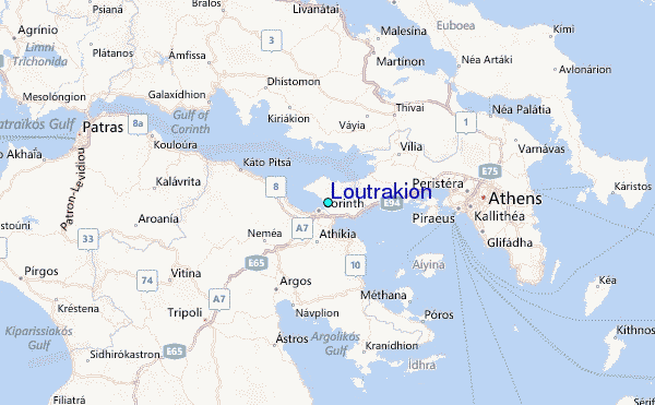