
| Distance / Altitude | Location | Report Date / Time | Live Weather | Wind | Gusts | Temp. | Visibility | Cloud |
|---|---|---|---|---|---|---|---|---|
| 19 km S / 384 m | Maracaibo/La Chinita Airport (Venezuela) | 2024-04-25 12:00 local (2024/04/25 16:00 GMT) | Dry and partly cloudy | calm (0 km/h at 0) | 34°C | 10.0 | broken | |
| 163 km W / 78 m | Riohacha/Almirante Padilla Airport (Columbia) | 2024-04-25 11:00 local (2024/04/25 15:00 GMT) | Dry and partly cloudy | moderate winds from the ESE.(Wind varies from 070 to 130 degs) (20 km/h at 110) | 31°C | 10.0 | broken | |
| 165 km W / 4 m | RiohachaAlmirantePadilla (Colombia) | 2024-04-25 11:00 local (2024/04/25 15:00 GMT) | Haze | moderate winds from the ESE (22 km/h at 110) | 31°C | 34 km | - mostly cloudy - | |
| 177 km WSW / 138 m | ValleduparAlfonsoLopez (Colombia) | 2024-04-25 11:00 local (2024/04/25 15:00 GMT) | Haze | moderate winds from the ENE (22 km/h at 70) | 31°C | 30 km | - overcast - | |
| 177 km WSW / 95 m | Valledupar/Aeropuerto Alfonso López Pumarejo Airport (Columbia) | 2024-04-25 11:00 local (2024/04/25 15:00 GMT) | Dry and partly cloudy | moderate winds from the ENE (22 km/h at 70) | 31°C | 10.0 | few scattered |
| Contours: | Roads & Rivers: | Select a
tide station / surf break / city |
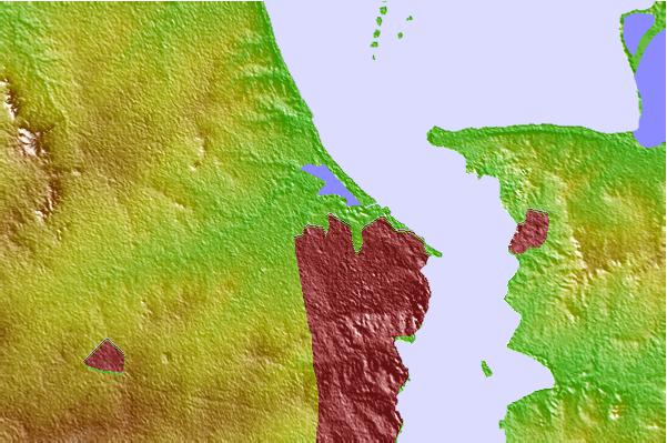
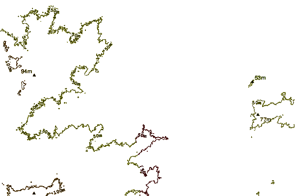
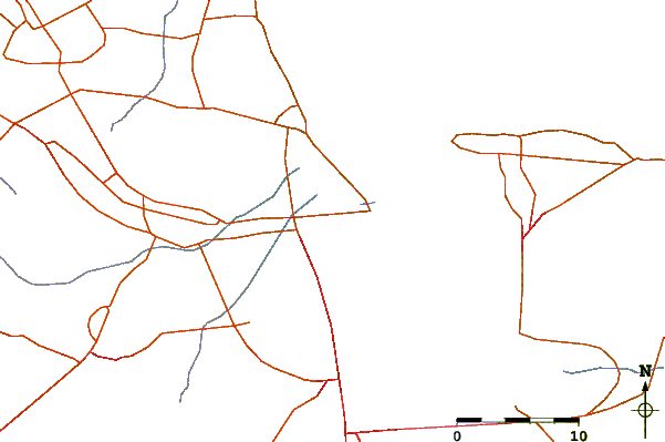
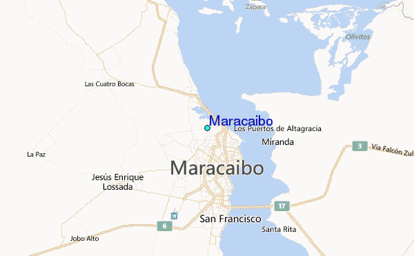
Use this relief map to navigate to tide stations, surf breaks and cities that are in the area of Maracaibo.
Other Nearby Locations' tide tables and tide charts to Maracaibo:
click location name for more details
 Surf breaks close to Maracaibo:
|
||
|---|---|---|
| Closest surf break | Cabo de la Vela | 108 mi |
| Second closest surf break | Playa Kasimesh | 109 mi |
| Third closest surf break | Dunas de Taroa | 119 mi |
| Fourth closest surf break | Punta Gallina | 119 mi |
| Fifth closest surf break | Palomino | 134 mi |

 Nearest
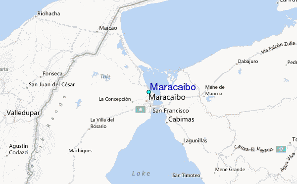