
| Distance / Altitude | Location | Report Date / Time | Live Weather | Wind | Gusts | Temp. | Visibility | Cloud |
|---|---|---|---|---|---|---|---|---|
| 62 km SSW / 15 m | SHIP9704 (Marine) | 2024-04-19 10:00 local (2024/04/19 07:00 GMT) | - (- km/h at -) | — | - km | |||
| 95 km ESE / 411 m | Dzaoudzi/Pamanzi Airport (Comoros) | 2024-04-19 11:30 local (2024/04/19 08:30 GMT) | - | light winds from the SSE (17 km/h at 150) | 31°C | 10.0 | ||
| 96 km ESE / 581 m | Pamandzi(Mayotte) (France) | 2024-04-19 12:00 local (2024/04/19 09:00 GMT) | Clear skies | light winds from the SE (17 km/h at 140) | 30°C | 39 km | no observation | |
| 418 km SSE / 194 m | Majunga/Mahajanga Airport (Comoros) | 2024-04-19 11:00 local (2024/04/19 08:00 GMT) | - | light winds from the SE.(Wind varies from 110 to 180 degs) (19 km/h at 130) | 32°C | 10.0 | few | |
| 425 km ESE / 113 m | Nosy Be/Fascene Airport (Comoros) | 2024-04-19 12:00 local (2024/04/19 09:00 GMT) | Dry and partly cloudy | calm (4 km/h at 300) | 31°C | 10.0 | broken |
| Contours: | Roads & Rivers: | Select a
tide station / surf break / city |
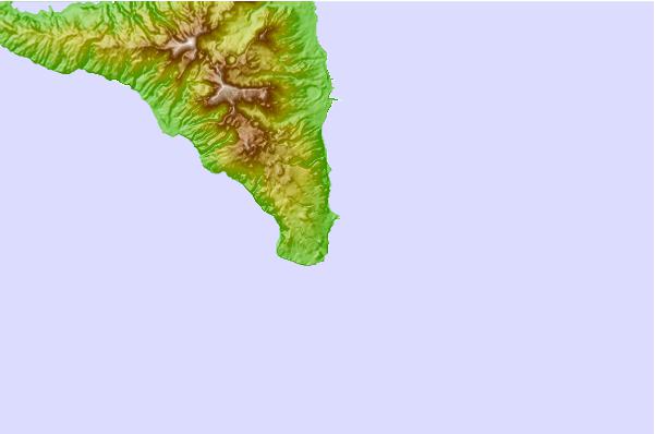
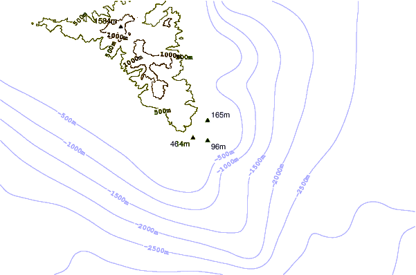
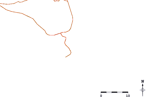
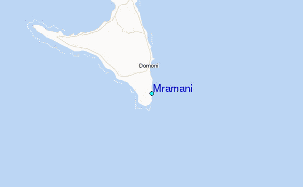
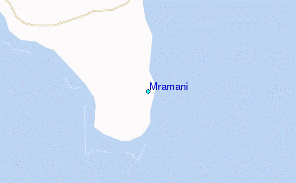
Use this relief map to navigate to tide stations, surf breaks and cities that are in the area of Mramani.
Other Nearby Locations' tide tables and tide charts to Mramani:
click location name for more details
 Surf breaks close to Mramani:
|
||
|---|---|---|
| Closest surf break | Oyster Bay Beach - Coco Beach | 526 mi |
| Second closest surf break | Sea Cliff | 527 mi |
| Third closest surf break | Jam's Right | 529 mi |
| Fourth closest surf break | Nungwi Reefs | 580 mi |
| Fifth closest surf break | Mombasa Channel | 661 mi |

 Nearest
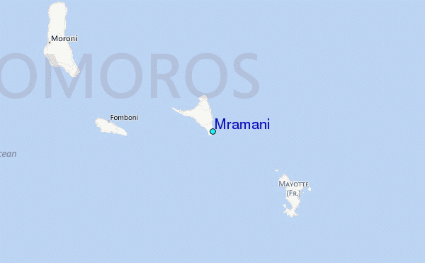