
| Distance / Altitude | Location | Report Date / Time | Live Weather | Wind | Gusts | Temp. | Visibility | Cloud |
|---|---|---|---|---|---|---|---|---|
| 28 km S / 12 m | Cam Ranh Bay Airport (Viet nam) | 2024-04-19 19:30 local (2024/04/19 12:30 GMT) | - | light winds from the SSW (11 km/h at 210) | — | 0.0 | ||
| 242 km SW / 205 m | Ấp Phước Quả B wx (Vietnam) | 2024-04-19 20:03 local (2024/04/19 13:03 GMT) | dry | calm (5 km/h at 125) | 29°C | - | - - 0 | |
| 301 km SE / 15 m | SHIP7518 (Marine) | 2024-04-19 19:00 local (2024/04/19 12:00 GMT) | light winds from the SSE (18.0 km/h at 160) | — | - km | |||
| 316 km SW / 218 m | Ho Chi Minh/Tan Son Nhat International Airport (Viet Nam) | 2024-04-19 19:30 local (2024/04/19 12:30 GMT) | - | light winds from the S.(Wind varies from 140 to 200 degs) (19 km/h at 170) | — | 0.0 | ||
| 389 km SW / 6 m | Svay Rieng (Cambodia) | 2024-04-19 19:00 local (2024/04/19 12:00 GMT) | no report | light winds from the SSW (11 km/h at 200) | 33°C | - | - |
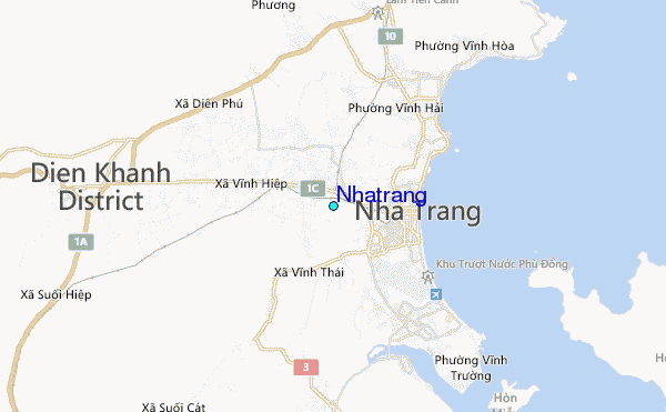
| Contours: | Roads & Rivers: | Select a
tide station / surf break / city |
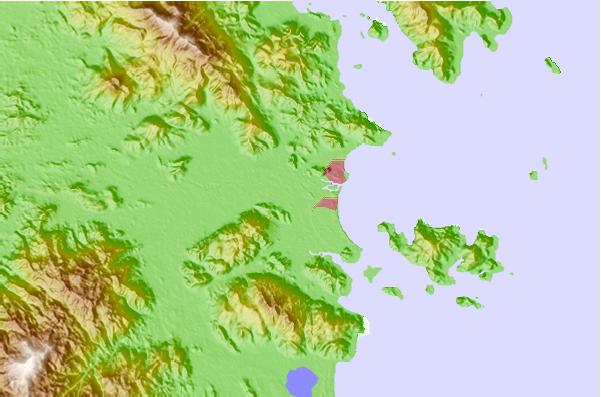
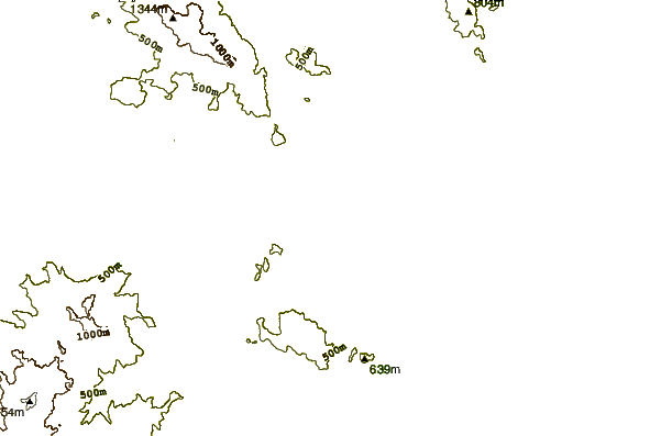
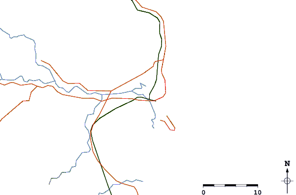
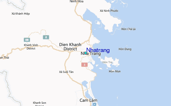
Use this relief map to navigate to tide stations, surf breaks and cities that are in the area of Nhatrang.
Other Nearby Locations' tide tables and tide charts to Nhatrang:
click location name for more details
 Surf breaks close to Nhatrang:
|
||
|---|---|---|
| Closest surf break | Dark Reef | 7 mi |
| Second closest surf break | Bai Dai Nha Trang | 9 mi |
| Third closest surf break | Mui Ne | 109 mi |
| Fourth closest surf break | Vung Tau (Back Beach) | 193 mi |
| Fifth closest surf break | Cue Dai Beach | 257 mi |

 Nearest