
| Distance / Altitude | Location | Report Date / Time | Live Weather | Wind | Gusts | Temp. | Visibility | Cloud |
|---|---|---|---|---|---|---|---|---|
| 14 km SSW / 9 m | Pattani (Thailand) | 2024-04-25 13:00 local (2024/04/25 06:00 GMT) | no report | wind obs. (11 kph from 20 degs) was rejected (- km/h at -) | 35°C | 10 | - | |
| 39 km S / 36 m | Yala Agromet (Thailand) | 2024-04-25 13:00 local (2024/04/25 06:00 GMT) | no report | wind obs. (6 kph from 300 degs) was rejected (- km/h at -) | 37°C | 10 | - | |
| 47 km SE / 30 m | Ban Ba Nae Ku We wx (Thailand) | 2024-04-25 14:16 local (2024/04/25 07:16 GMT) | - | calm (0 km/h at 0) | 36°C | - | - - 0 | |
| 67 km SE / 217 m | Narathiwat Airport (Thailand) | 2024-04-25 13:00 local (2024/04/25 06:00 GMT) | - | light winds from the ENE.(Wind varies from 030 to 100 degs) (19 km/h at 60) | 32°C | 10.0 | few | |
| 75 km W / 36 m | Ban Laem Khian wx (Thailand) | 2024-04-25 14:13 local (2024/04/25 07:13 GMT) | - | calm (0 km/h at 0) | 41°C | - | - - 0 |
| Contours: | Roads & Rivers: | Select a
tide station / surf break / city |
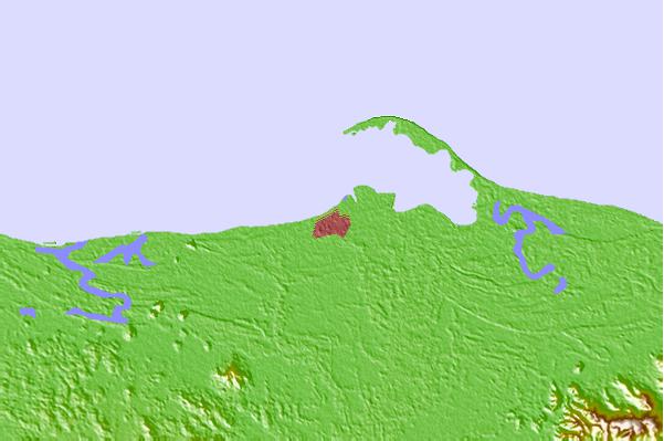
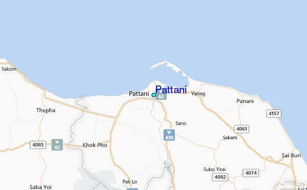
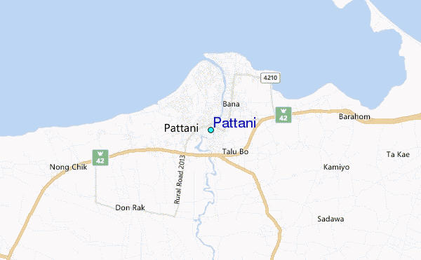
Use this relief map to navigate to tide stations, surf breaks and cities that are in the area of Pattani.
Other Nearby Locations' tide tables and tide charts to Pattani:
click location name for more details
 Surf breaks close to Pattani:
|
||
|---|---|---|
| Closest surf break | Songkhla - Fulerayem Point | 51 mi |
| Second closest surf break | Cenang Beach (The Cliff) | 112 mi |
| Third closest surf break | Tengah Beach (Bank Negara) | 112 mi |
| Fourth closest surf break | Koh Lanta - Khlong Dao | 161 mi |
| Fifth closest surf break | Batu Buruk | 168 mi |

 Nearest