
| Distance / Altitude | Location | Report Date / Time | Live Weather | Wind | Gusts | Temp. | Visibility | Cloud |
|---|---|---|---|---|---|---|---|---|
| 41 km ESE / 1120 m | MountRead (Australia) | 2024-04-19 20:00 local (2024/04/19 10:00 GMT) | no report | light winds from the S (7 km/h at 170) | 7°C | - | - no observation - | |
| 55 km SSE / 22 m | Strahan Aerodrome (Australia) | 2024-04-19 20:00 local (2024/04/19 10:00 GMT) | no report | light winds from the S (11 km/h at 170) | 10°C | - | - no observation - | |
| 58 km S / 20 m | CapeSorell (Australia) | 2024-04-19 20:00 local (2024/04/19 10:00 GMT) | no report | light winds from the SSE (11 km/h at 160) | 11°C | - | - no observation - | |
| 59 km N / 344 m | Luncheon Hill (Forestry) (Australia) | 2024-04-19 20:00 local (2024/04/19 10:00 GMT) | no report | moderate winds from the S (20 km/h at 180) | 8°C | - | - no observation - | |
| 93 km NE / 12 m | Burnie Airport (Wynyard) (Australia) | 2024-04-19 20:00 local (2024/04/19 10:00 GMT) | no report | light winds from the SW (11 km/h at 230) | 10°C | - | - no observation - |
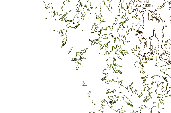
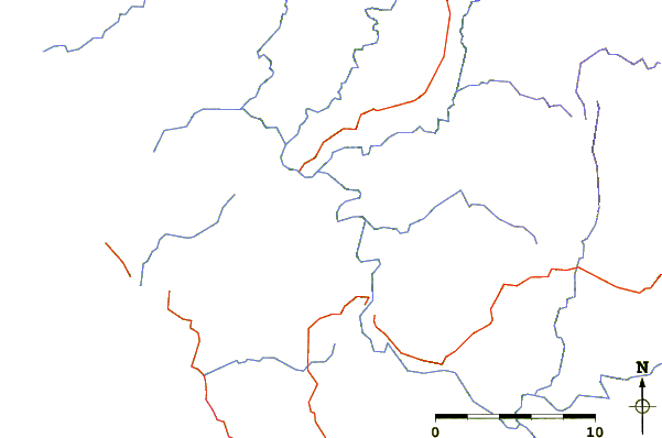
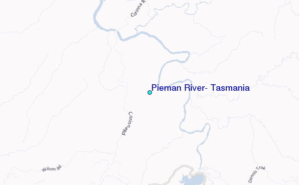
| Contours: | Roads & Rivers: | Select a
tide station / surf break / city |
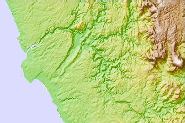
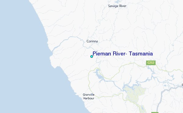
Use this relief map to navigate to tide stations, surf breaks and cities that are in the area of Pieman River, Tasmania.
Other Nearby Locations' tide tables and tide charts to Pieman River, Tasmania:
click location name for more details
 Surf breaks close to Pieman River, Tasmania:
|
||
|---|---|---|
| Closest surf break | Trial Harbour | 17 mi |
| Second closest surf break | Church Bay | 49 mi |
| Third closest surf break | Lighthouse Beach | 57 mi |
| Fourth closest surf break | Nettley Bay Point | 58 mi |
| Fifth closest surf break | Nettley Bay Reefs | 58 mi |

 Nearest
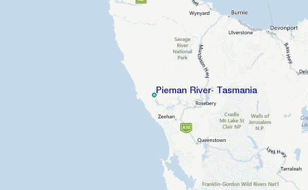