
| Distance / Altitude | Location | Report Date / Time | Live Weather | Wind | Gusts | Temp. | Visibility | Cloud |
|---|---|---|---|---|---|---|---|---|
| 4 km SSW / 17 m | Boryeong (Republic of Korea) | 2024-04-26 04:00 local (2024/04/25 19:00 GMT) | no report | light winds from the NNE (6 km/h at 20) | 10°C | 4.6 km | - scattered - | |
| 35 km NNE / 21 m | Hongsung (South Korea) | 2024-04-26 04:00 local (2024/04/25 19:00 GMT) | Mist | calm (2 km/h at 160) | 9°C | 2.2 km | - scattered - | |
| 41 km SSE / 25 m | Gunsan (South Korea) | 2024-04-26 04:00 local (2024/04/25 19:00 GMT) | no report | calm (4 km/h at 110) | 10°C | 3700 | - scattered - | |
| 48 km N / 30 m | Seosan (South Korea) | 2024-04-26 04:00 local (2024/04/25 19:00 GMT) | no report | calm (2 km/h at 50) | 9°C | 2.8 km | - scattered - | |
| 52 km S / 124 m | Kunsan Air Base Airport (Korea) | 2024-04-26 03:55 local (2024/04/25 18:55 GMT) | Mist - | light winds from the ENE (6 km/h at 60) | 11°C | 5 | scattered |
| Contours: | Roads & Rivers: | Select a
tide station / surf break / city |
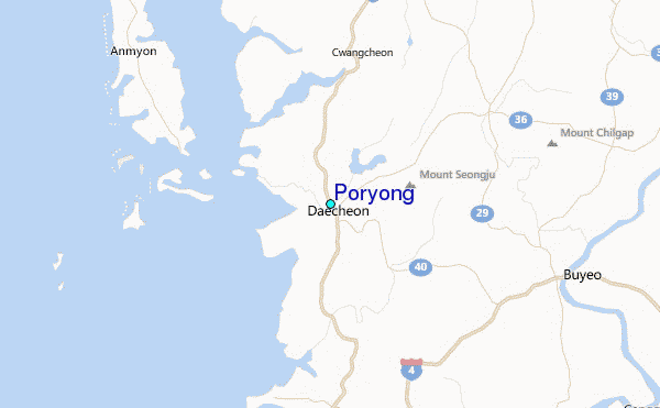
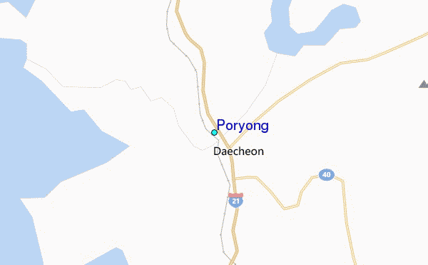
Use this relief map to navigate to tide stations, surf breaks and cities that are in the area of Poryong.
Other Nearby Locations' tide tables and tide charts to Poryong:
click location name for more details
 Surf breaks close to Poryong:
|
||
|---|---|---|
| Closest surf break | Gyongpo Beach | 162 mi |
| Second closest surf break | Jumunjin | 163 mi |
| Third closest surf break | Ingu Beach | 164 mi |
| Fourth closest surf break | 38 Line | 164 mi |
| Fifth closest surf break | Busan (Haeundae Beach) | 166 mi |

 Nearest
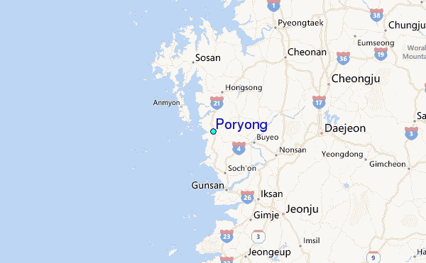