
| Distance / Altitude | Location | Report Date / Time | Live Weather | Wind | Gusts | Temp. | Visibility | Cloud |
|---|---|---|---|---|---|---|---|---|
| 130 km W / 15 m | SHIP9963 (Marine) | 2024-04-19 02:00 local (2024/04/19 06:00 GMT) | - (- km/h at -) | — | - km | |||
| 130 km W / 3 m | SHIP920 (Marine) | 2024-04-19 02:00 local (2024/04/19 06:00 GMT) | - (- km/h at -) | 26°C | - | |||
| 130 km W / 3 m | SHIP1434 (Marine) | 2024-04-19 02:00 local (2024/04/19 06:00 GMT) | - (- km/h at -) | 26°C | - | |||
| 130 km W / 15 m | SHIP6448 (Marine) | 2024-04-19 02:00 local (2024/04/19 06:00 GMT) | - (- km/h at -) | — | - km | |||
| 130 km W / 3 m | SHIP6878 (Marine) | 2024-04-19 02:00 local (2024/04/19 06:00 GMT) | - (- km/h at -) | 26°C | - |
| Contours: | Roads & Rivers: | Select a
tide station / surf break / city |
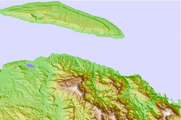
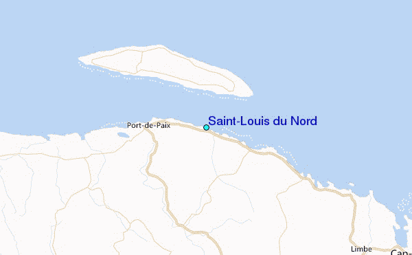
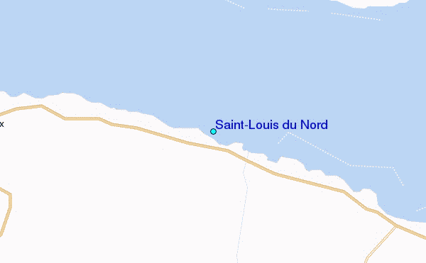
Use this relief map to navigate to tide stations, surf breaks and cities that are in the area of Saint-Louis du Nord.
Other Nearby Locations' tide tables and tide charts to Saint-Louis du Nord:
click location name for more details
 Surf breaks close to Saint-Louis du Nord:
|
||
|---|---|---|
| Closest surf break | Jacmel | 119 mi |
| Second closest surf break | Tea Break | 128 mi |
| Third closest surf break | Coffee Break | 132 mi |
| Fourth closest surf break | La Puntilla (Puerto Plata) | 132 mi |
| Fifth closest surf break | Grace Bay Cut (Providenciales) | 133 mi |

 Nearest
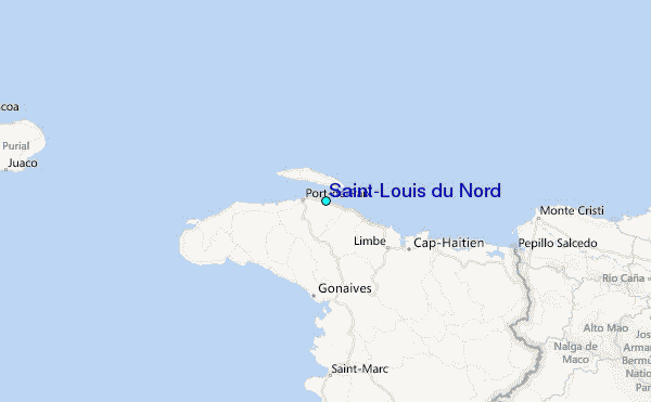