
| Distance / Altitude | Location | Report Date / Time | Live Weather | Wind | Gusts | Temp. | Visibility | Cloud |
|---|---|---|---|---|---|---|---|---|
| 11 km W / 12 m | Vega Baja (Puerto Rico) | 2024-04-20 01:29 local (2024/04/20 05:29 GMT) | dry | calm (0 km/h at 84) | 25°C | - | - - 0 | |
| 12 km SE / 40 m | Las Arenas wx (Puerto Rico) | 2024-04-20 01:27 local (2024/04/20 05:27 GMT) | dry | calm (0 km/h at 244) | 23°C | - | - - 0 | |
| 17 km ESE / 40 m | Sunny Hills wx (Puerto Rico) | 2024-04-20 01:35 local (2024/04/20 05:35 GMT) | dry | calm (2 km/h at 178) | 24°C | - | - - 0 | |
| 19 km E / 3 m | BUOY-SJNP4 (Marine) | 2024-04-20 01:18 local (2024/04/20 05:18 GMT) | - (- km/h at -) | 26°C | - | |||
| 22 km ENE / - m | SHIP8590 (ocean) | 2024-04-20 01:00 local (2024/04/20 05:00 GMT) | - | light winds from the NE (18 km/h at 40) | — | - | no observation |
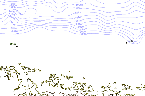
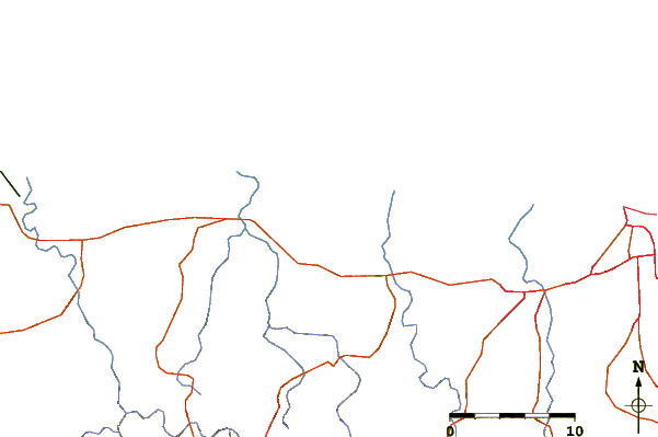
| Contours: | Roads & Rivers: | Select a
tide station / surf break / city |
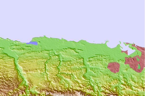
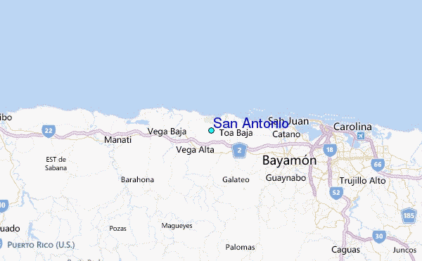
Use this relief map to navigate to tide stations, surf breaks and cities that are in the area of San Antonio.
Other Nearby Locations' tide tables and tide charts to San Antonio:
click location name for more details
 Surf breaks close to San Antonio:
|
||
|---|---|---|
| Closest surf break | Playa Kikitas | 3 mi |
| Second closest surf break | El Unico | 4 mi |
| Third closest surf break | Cochino (Playa de Levittown) | 8 mi |
| Fourth closest surf break | El Canal (Rio de Bayamon) | 9 mi |
| Fifth closest surf break | Los Tubos | 11 mi |

 Nearest
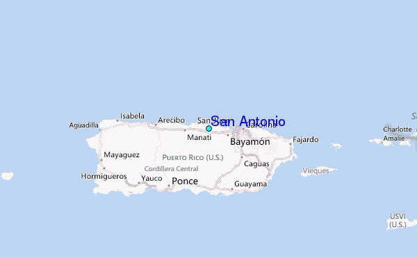