
| Distance / Altitude | Location | Report Date / Time | Live Weather | Wind | Gusts | Temp. | Visibility | Cloud |
|---|---|---|---|---|---|---|---|---|
| 21 km SE / 30 m | Trujillo(84501-0) (Peru) | 2024-04-18 22:00 local (2024/04/19 03:00 GMT) | Mist | light winds from the SSE (7 km/h at 160) | 20°C | 5.0 km | clear | |
| 28 km ESE / 215 m | Trujillo Airport (Peru) | 2024-04-18 21:00 local (2024/04/19 02:00 GMT) | Fog patches - | light winds from the SE (11 km/h at 140) | 21°C | 7.0 | no significant cloud | |
| 145 km NW / 30 m | Chiclayo (Peru) | 2024-04-18 22:00 local (2024/04/19 03:00 GMT) | State of sky unchanged | light winds from the SSW (7 km/h at 210) | 23°C | 30 km | clear | |
| 146 km NW / 212 m | Chiclayo/Capitán FAP José A. Quiñones Gonzales International Airport (Peru) | 2024-04-18 21:00 local (2024/04/19 02:00 GMT) | - | light winds from the S (19 km/h at 180) | — | 0.0 | ||
| 342 km NW / 186 m | Piura-Capitán FAP Guillermo Concha Iberico International (Peru) | 2024-04-18 22:00 local (2024/04/19 03:00 GMT) | State of sky unchanged | light winds from the S (17 km/h at 190) | 30°C | 30 km | - mostly cloudy - |
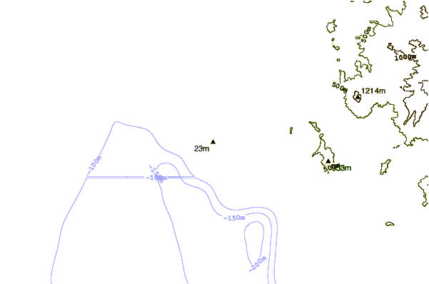
| Contours: | Roads & Rivers: | Select a
tide station / surf break / city |
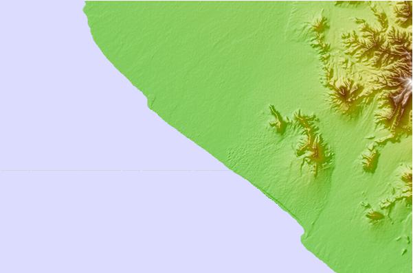
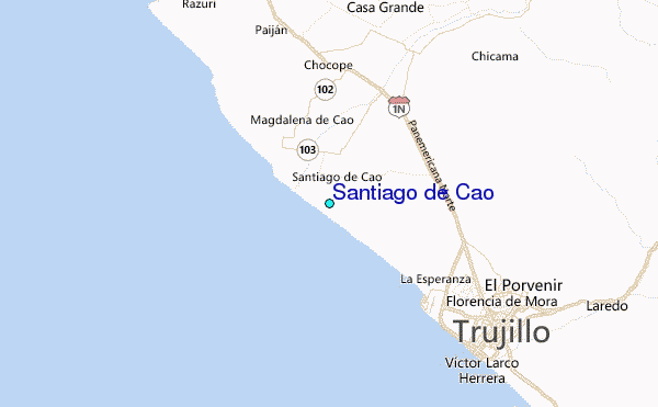
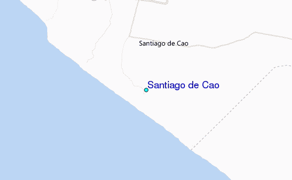
Use this relief map to navigate to tide stations, surf breaks and cities that are in the area of Santiago de Cao.
Other Nearby Locations' tide tables and tide charts to Santiago de Cao:
click location name for more details
 Surf breaks close to Santiago de Cao:
|
||
|---|---|---|
| Closest surf break | El Brujo | 6 mi |
| Second closest surf break | Punta Huanchaco | 12 mi |
| Third closest surf break | Chicama - El Hombre | 22 mi |
| Fourth closest surf break | Chicama - El Point | 23 mi |
| Fifth closest surf break | Chicama - El Cape / Keys | 23 mi |

 Nearest
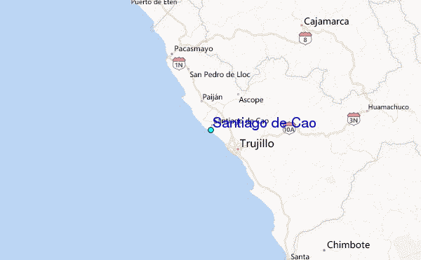