
| Distance / Altitude | Location | Report Date / Time | Live Weather | Wind | Gusts | Temp. | Visibility | Cloud |
|---|---|---|---|---|---|---|---|---|
| 2 km E / 51 m | Sao Luiz (Brazil) | 2024-04-25 16:00 local (2024/04/25 19:00 GMT) | state of sky unchanged | - (- km/h at -) | 27°C | 10 | - | |
| 12 km SE / 216 m | Aeroporto Internacional de São Luís - Marechal (Brazil) | 2024-04-25 17:00 local (2024/04/25 20:00 GMT) | Dry and partly cloudy | light winds from the NE (15 km/h at 50) | 28°C | 10.0 | scattered few broken | |
| 170 km SE / 92 m | Chapadinha (Brazil) | 2024-04-25 18:00 local (2024/04/25 21:00 GMT) | no report | calm (4 km/h at 90) | 31°C | 20 | - - - | |
| 190 km SSW / 46 m | ZE Doca (Brazil) | 2024-04-25 16:00 local (2024/04/25 19:00 GMT) | clouds developing | - (- km/h at 20) | 28°C | 10 | - | |
| 287 km E / 502 m | Parnaiba Airport (Brazil) | 2024-04-25 17:00 local (2024/04/25 20:00 GMT) | Dry and partly cloudy | light winds from the ENE (19 km/h at 70) | 30°C | 10.0 | scattered few |
| Contours: | Roads & Rivers: | Select a
tide station / surf break / city |
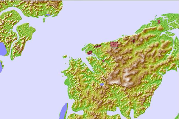
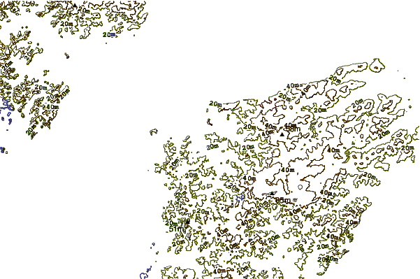
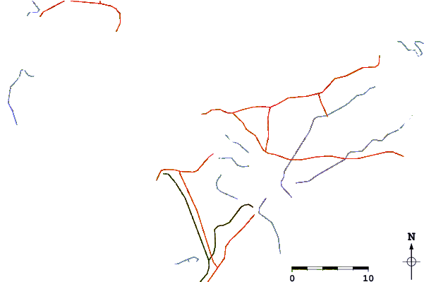
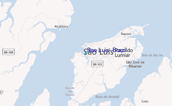
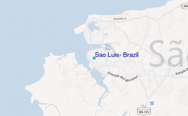
Use this relief map to navigate to tide stations, surf breaks and cities that are in the area of Sao Luis, Brazil.
Other Nearby Locations' tide tables and tide charts to Sao Luis, Brazil:
click location name for more details
 Surf breaks close to Sao Luis, Brazil:
|
||
|---|---|---|
| Closest surf break | Ponta do Farol | 2 mi |
| Second closest surf break | Praia de Sao Marcos | 3 mi |
| Third closest surf break | Praia do Calhau | 3 mi |
| Fourth closest surf break | Ponta d'Areia | 4 mi |
| Fifth closest surf break | Praia do Caolho | 6 mi |

 Nearest
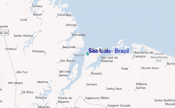