
| Distance / Altitude | Location | Report Date / Time | Live Weather | Wind | Gusts | Temp. | Visibility | Cloud |
|---|---|---|---|---|---|---|---|---|
| 14 km ENE / 66 m | Nickerie (Surinam) | 2024-04-25 14:00 local (2024/04/25 18:00 GMT) | - | light winds from the ENE (19 km/h at 60) | 31°C | 40 km | scattered | |
| 58 km WNW / 1 m | New Amsterdam (Guyana) | 2024-04-25 14:00 local (2024/04/25 18:00 GMT) | Haze | light winds from the E (11 km/h at 90) | 33°C | 34 km | mostly cloudy | |
| 134 km WNW / 1 m | OgleInternationalAirport (Guyana) | 2024-04-25 16:00 local (2024/04/25 20:00 GMT) | Haze | fresh winds from the NNE (36 km/h at 30) | — | 0.6 km | few | |
| 141 km W / 30 m | Georgetown Airport (Guyana) | 2024-04-25 16:00 local (2024/04/25 20:00 GMT) | Dry and partly cloudy | moderate winds from the NE (26 km/h at 50) | 34°C | 10.0 | scattered mostly cloudy - | |
| 148 km WNW / 3 m | Eugene F Correira International Airport (Guyana) | 2024-04-25 15:00 local (2024/04/25 19:00 GMT) | Dry and partly cloudy | moderate winds from the NE (22 km/h at 50) | 32°C | 10.0 | scattered |
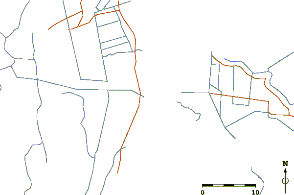
| Contours: | Roads & Rivers: | Select a
tide station / surf break / city |
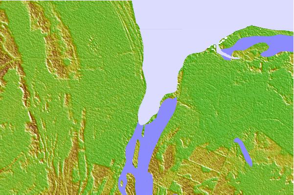
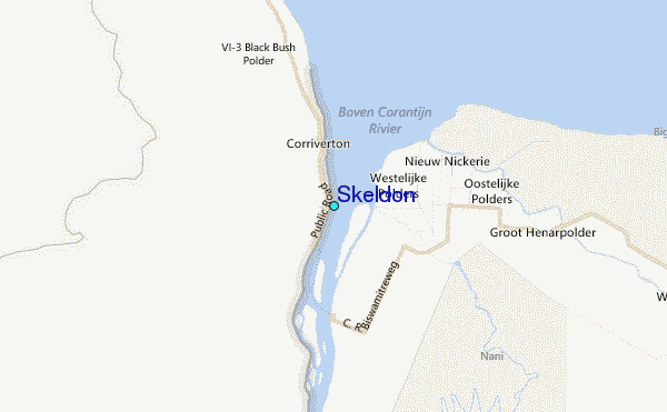
Use this relief map to navigate to tide stations, surf breaks and cities that are in the area of Skeldon.
Other Nearby Locations' tide tables and tide charts to Skeldon:
click location name for more details
 Surf breaks close to Skeldon:
|
||
|---|---|---|
| Closest surf break | Saint Joseph (Iles du Salut) | 316 mi |
| Second closest surf break | Ilet du Novotel | 339 mi |
| Third closest surf break | Anse de Rémire (L'apcat) | 342 mi |
| Fourth closest surf break | Mahury | 343 mi |
| Fifth closest surf break | La Mère | 347 mi |

 Nearest
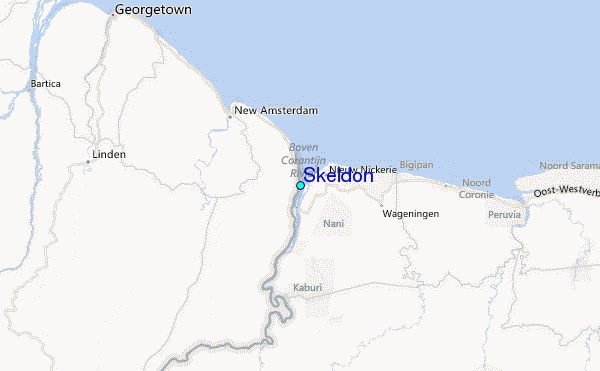