
| Distance / Altitude | Location | Report Date / Time | Live Weather | Wind | Gusts | Temp. | Visibility | Cloud |
|---|---|---|---|---|---|---|---|---|
| 27 km WSW / 375 m | Vága Floghavn/Sørvágur-Airport (Denmark) | 2024-04-19 09:20 local (2024/04/19 08:20 GMT) | - | light winds from the NNE.(Wind varies from 340 to 040 degs) (15 km/h at 20) | 2°C | 10.0 | ||
| 228 km SE / 3 m | K7 Buoy (Marine) | 2024-04-19 09:00 local (2024/04/19 08:00 GMT) | - (- km/h at -) | 4°C | - | |||
| 243 km SE / 15 m | SHIP7855 (Marine) | 2024-04-19 08:00 local (2024/04/19 07:00 GMT) | - (- km/h at -) | — | - km | |||
| 271 km ESE / 3 m | Clair (Marine) | 2024-04-19 09:00 local (2024/04/19 08:00 GMT) | - (- km/h at -) | — | - | |||
| 348 km ESE / 15 m | Baltasound NO 2 (United Kingdom) | 2024-04-19 10:00 local (2024/04/19 09:00 GMT) | no report | strong winds from the NNW (43 km/h at 330) | 4°C | 35 km | - overcast - |
| Contours: | Roads & Rivers: | Select a
tide station / surf break / city |
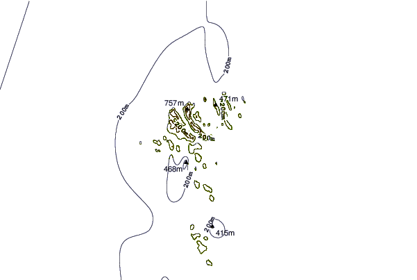
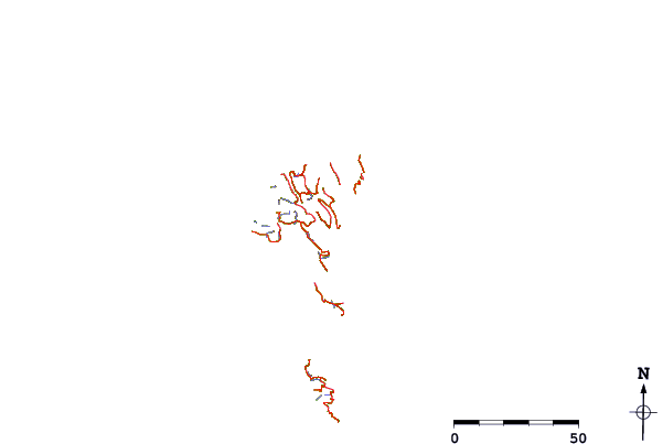
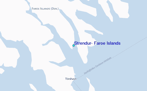
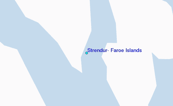
Use this relief map to navigate to tide stations, surf breaks and cities that are in the area of Strendur, Faroe Islands.
Other Nearby Locations' tide tables and tide charts to Strendur, Faroe Islands:
click location name for more details
 Surf breaks close to Strendur, Faroe Islands:
|
||
|---|---|---|
| Closest surf break | Tjornuvik Bay (Streymoy) | 19 mi |
| Second closest surf break | Húsavik Shorey (Sandoy) | 21 mi |
| Third closest surf break | Birsay Bay | 237 mi |
| Fourth closest surf break | Saviskaill Bay | 239 mi |
| Fifth closest surf break | Bay of Skaill | 241 mi |

 Nearest
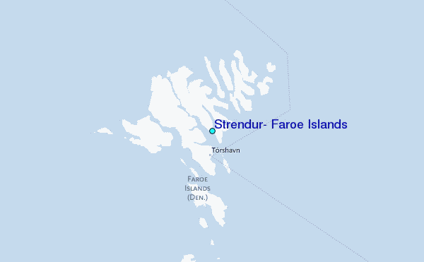