
| Distance / Altitude | Location | Report Date / Time | Live Weather | Wind | Gusts | Temp. | Visibility | Cloud |
|---|---|---|---|---|---|---|---|---|
| 83 km W / 15 m | hy2c108E1N (Marine) | 2024-04-25 11:24 local (2024/04/25 03:24 GMT) | calm (4 km/h at 100) | — | - km | |||
| 99 km SSW / 15 m | hy2c108E0N (Marine) | 2024-04-25 11:24 local (2024/04/25 03:24 GMT) | light winds from the SW (11 km/h at 232) | — | - km | |||
| 109 km SSE / 77 m | Pontianak/Supadio Airport (Indonesia) | 2024-04-25 13:30 local (2024/04/25 05:30 GMT) | Dry and partly cloudy | light winds from the SW (6 km/h at 230) | 33°C | 10.0 | broken | |
| 124 km NW / 15 m | hy2c108E2N (Marine) | 2024-04-25 11:24 local (2024/04/25 03:24 GMT) | light winds from the E (8 km/h at 90) | — | - km | |||
| 147 km S / 15 m | hy2c108E0S (Marine) | 2024-04-25 11:24 local (2024/04/25 03:24 GMT) | light winds from the ENE (8 km/h at 68) | — | - km |
| Contours: | Roads & Rivers: | Select a
tide station / surf break / city |
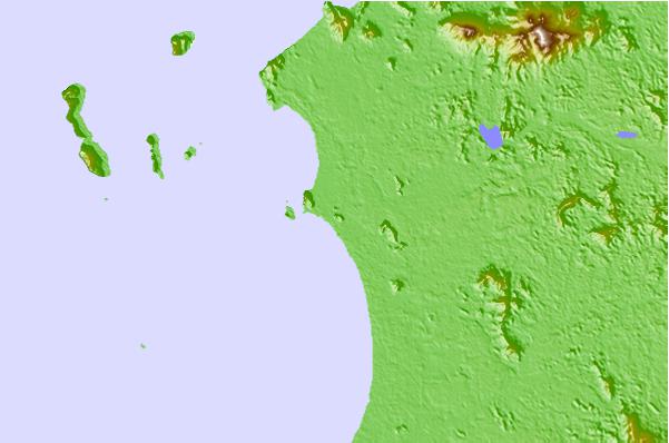
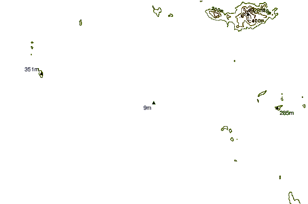
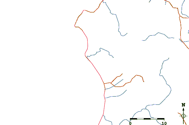
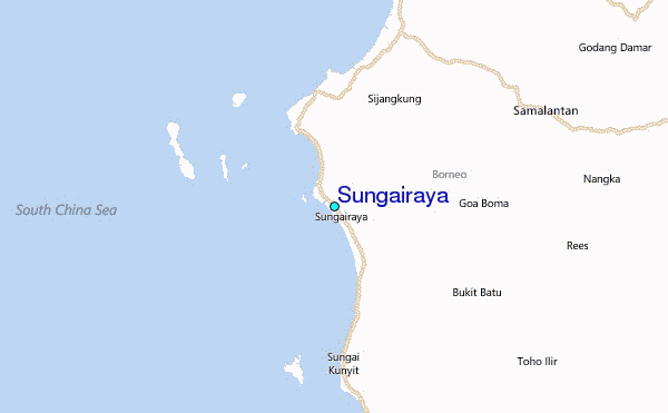
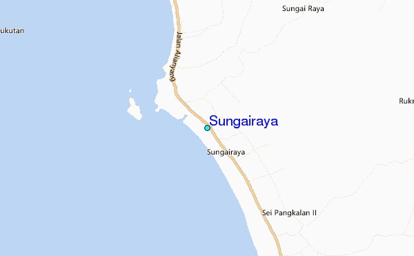
Use this relief map to navigate to tide stations, surf breaks and cities that are in the area of Sungairaya.
Other Nearby Locations' tide tables and tide charts to Sungairaya:
click location name for more details
 Surf breaks close to Sungairaya:
|
||
|---|---|---|
| Closest surf break | Tioman Island | 354 mi |
| Second closest surf break | Cherating | 447 mi |
| Third closest surf break | Kijal | 451 mi |
| Fourth closest surf break | Kelulut (Marang) | 498 mi |
| Fifth closest surf break | Tungku Beach or KM26 | 507 mi |

 Nearest
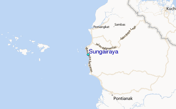