
| Distance / Altitude | Location | Report Date / Time | Live Weather | Wind | Gusts | Temp. | Visibility | Cloud |
|---|---|---|---|---|---|---|---|---|
| 22 km SE / 5 m | VindebaekKyst (Denmark) | 2024-04-18 18:00 local (2024/04/18 16:00 GMT) | no report | light winds from the W (17 km/h at 270) | 9°C | 22 | - no observation - | |
| 23 km N / 46 m | Brandelev (Denmark and Faroe Islands) | 2024-04-18 18:00 local (2024/04/18 16:00 GMT) | - | light winds from the W (17 km/h at 280) | 9°C | 45 km | no observation | |
| 36 km S / 11 m | Frejlev (Denmark) | 2024-04-18 17:35 local (2024/04/18 15:35 GMT) | dry | calm (3 km/h at 311) | 10°C | - | - - 0 | |
| 43 km SW / 9 m | Abed (Denmark) | 2024-04-18 18:00 local (2024/04/18 16:00 GMT) | - | moderate winds from the W (20 km/h at 280) | 10°C | 35 km | no observation | |
| 46 km NNE / 22 m | Tesseboelle (Denmark and Faroe Islands) | 2024-04-18 18:00 local (2024/04/18 16:00 GMT) | no report | light winds from the NNW (19 km/h at 340) | 9°C | 40 | - no observation - |
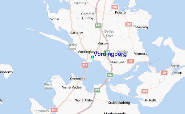
| Contours: | Roads & Rivers: | Select a
tide station / surf break / city |
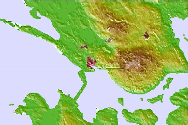
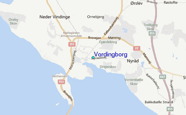
Use this relief map to navigate to tide stations, surf breaks and cities that are in the area of Vordingborg.
Other Nearby Locations' tide tables and tide charts to Vordingborg:
click location name for more details
 Surf breaks close to Vordingborg:
|
||
|---|---|---|
| Closest surf break | Fehmarn | 45 mi |
| Second closest surf break | Dazendorf | 60 mi |
| Third closest surf break | Pelzerhaken | 67 mi |
| Fourth closest surf break | Hohwachter Bucht | 68 mi |
| Fifth closest surf break | Hornhole | 78 mi |

 Nearest
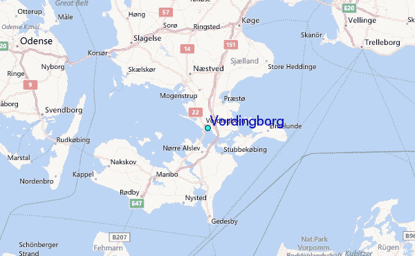