
| Distance / Altitude | Location | Report Date / Time | Live Weather | Wind | Gusts | Temp. | Visibility | Cloud |
|---|---|---|---|---|---|---|---|---|
| 14 km ESE / 219 m | Falmouth/Otis Air Base Airport (Massachusetts) | 2026-06-11 00:55 local (2026/06/11 04:55 GMT) | Mist - | moderate winds from the SSW (26 km/h at 210) | 17°C | 6 | overcast | |
| 17 km SE / 3 m | BUOY-WAXM3 (Marine) | 2026-06-11 01:45 local (2026/06/11 05:45 GMT) | calm (4 km/h at 160) | 17°C | - | |||
| 19 km S / 3 m | BUOY-BZBM3 (Marine) | 2026-06-11 02:00 local (2026/06/11 06:00 GMT) | - (- km/h at -) | 17°C | - | |||
| 21 km SW / 3 m | BUOY-NBGM3 (Marine) | 2026-06-11 02:00 local (2026/06/11 06:00 GMT) | light winds from the SW (17 km/h at 230) | 17°C | - | |||
| 23 km WSW / 219 m | New Bedford Airport (Massachusetts) | 2026-06-11 00:53 local (2026/06/11 04:53 GMT) | Mist - | light winds from the SSW (13 km/h at 210) | 18°C | 10 | overcast | |
| 26 km NW / 209 m | Plymouth Airport (Massachusetts) | 2026-06-11 00:52 local (2026/06/11 04:52 GMT) | Mist - | light winds from the SSW (15 km/h at 210) | 18°C | 10 | overcast | |
| 32 km S / 217 m | Marthas Vineyard Airport (Massachusetts) | 2026-06-11 01:39 local (2026/06/11 05:39 GMT) | Mist - | light winds from the SSW (15 km/h at 210) | 17°C | 1 | overcast | |
| 33 km ENE / 3 m | Cape Cod Bay- MA (Marine) | 2026-06-11 02:00 local (2026/06/11 06:00 GMT) | - (- km/h at -) | 16°C | - | |||
| 34 km E / 217 m | Hyannis Airport (Massachusetts) | 2026-06-11 00:56 local (2026/06/11 04:56 GMT) | Mist - | moderate winds from the SSW (22 km/h at 200) | 18°C | 10 | overcast | |
| 36 km WNW / 219 m | Taunton Airport (Massachusetts) | 2026-06-11 01:29 local (2026/06/11 05:29 GMT) | Dry and cloudy | light winds from the SSW (7 km/h at 210) | 18°C | 13 | overcast |
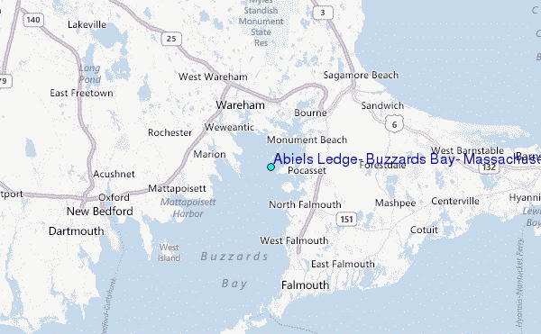
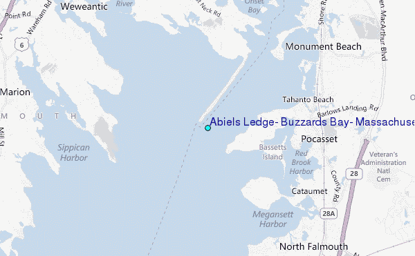
Choose Abiels Ledge, Buzzards Bay, Massachusetts Location Map Zoom:
| Contours: | Roads & Rivers: | Select a
tide station / surf break / city |
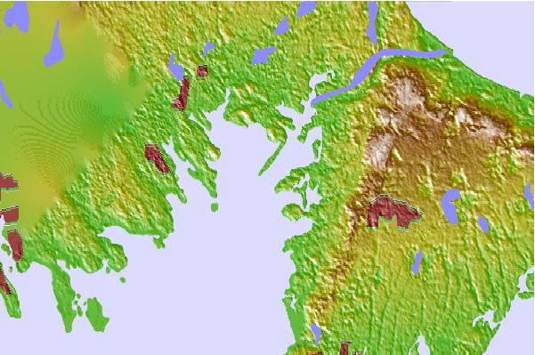
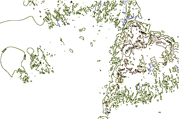
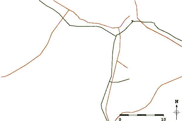
Use this relief map to navigate to tide stations, surf breaks and cities that are in the area of Abiels Ledge, Buzzards Bay, Massachusetts.
Other Nearby Locations' tide tables and tide charts to Abiels Ledge, Buzzards Bay, Massachusetts:
click location name for more details
 Surf breaks close to Abiels Ledge, Buzzards Bay, Massachusetts:
|
||
|---|---|---|
| Closest surf break | Horseneck Beach | 24 mi |
| Second closest surf break | Baker s Beach | 24 mi |
| Third closest surf break | Goosewing Beach | 25 mi |
| Fourth closest surf break | Green Harbor | 27 mi |
| Fifth closest surf break | Cutty Wow Reef | 27 mi |


 Nearest
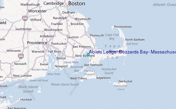