
| Distance / Altitude | Location | Report Date / Time | Live Weather | Wind | Gusts | Temp. | Visibility | Cloud |
|---|---|---|---|---|---|---|---|---|
| 24 km ESE / 411 m | Dzaoudzi/Pamanzi Airport (Comoros) | 2024-04-27 04:30 local (2024/04/27 01:30 GMT) | - | calm (0 km/h at 0) | — | 0.0 | ||
| 235 km WNW / 29 m | HahayaInt.Airport (Comoros) | 2024-04-27 03:00 local (2024/04/27 00:00 GMT) | Continuous light rain | calm (4 km/h at 160) | 26°C | 30 km | overcast | |
| 246 km WSW / 15 m | SHIP8550 (Marine) | 2024-04-27 03:00 local (2024/04/27 00:00 GMT) | strong winds from the S (44.64 km/h at 180) | — | 8.1 km | |||
| 274 km ENE / 4 m | Iles Glorieuses (France) | 2024-04-27 04:00 local (2024/04/27 01:00 GMT) | no report | calm (4 km/h at 200) | 28°C | - | - | |
| 356 km SSE / 194 m | Majunga/Mahajanga Airport (Comoros) | 2024-04-27 04:00 local (2024/04/27 01:00 GMT) | - | light winds from the S (6 km/h at 190) | 26°C | 10.0 | few |
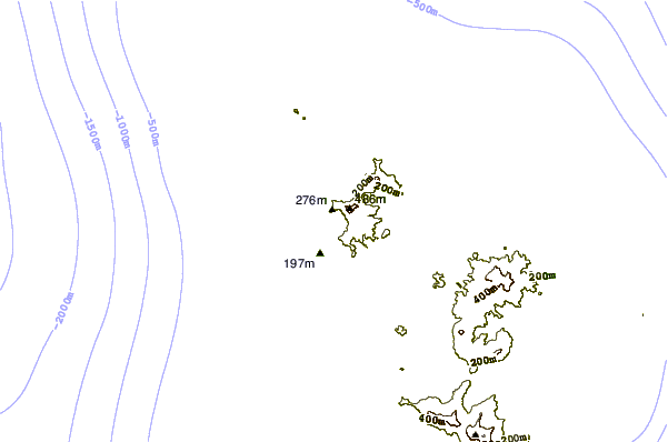
| Contours: | Roads & Rivers: | Select a
tide station / surf break / city |
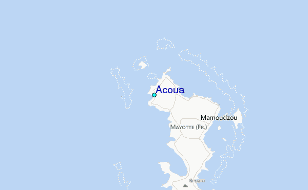
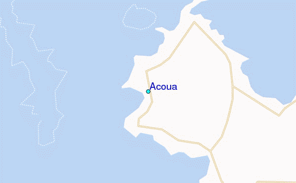
Use this relief map to navigate to tide stations, surf breaks and cities that are in the area of Acoua.
Other Nearby Locations' tide tables and tide charts to Acoua:
click location name for more details
 Surf breaks close to Acoua:
|
||
|---|---|---|
| Closest surf break | Oyster Bay Beach - Coco Beach | 569 mi |
| Second closest surf break | Sea Cliff | 571 mi |
| Third closest surf break | Jam's Right | 572 mi |
| Fourth closest surf break | Nungwi Reefs | 623 mi |
| Fifth closest surf break | Mombasa Channel | 701 mi |

 Nearest
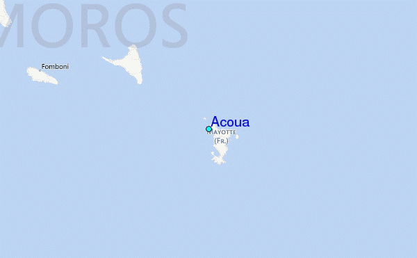