
| Distance / Altitude | Location | Report Date / Time | Live Weather | Wind | Gusts | Temp. | Visibility | Cloud |
|---|---|---|---|---|---|---|---|---|
| 36 km NNE / 16 m | Yoron Island Airport (Japan) | 2026-06-09 12:00 local (2026/06/09 03:00 GMT) | Mist - | fresh winds from the S (30 km/h at 180) | — | 2.8 | few broken overcast | |
| 55 km WSW / 73 m | Iejima Aux (usaf (Japan) | 2026-06-09 12:21 local (2026/06/09 03:21 GMT) | Dry and cloudy | moderate winds from the SSW.(Wind varies from 003 to 010 degs) (28 km/h at 210) | 25°C | 0.0 | overcast | |
| 69 km SSW / 217 m | Kadena Air Force Base Airport (Japan) | 2026-06-09 12:40 local (2026/06/09 03:40 GMT) | Dry and cloudy | strong winds from the SSW (41 km/h at 200) | 27°C | 16 | overcast | |
| 72 km SSW / 13 m | Shido wx (Japan) | 2026-06-09 13:42 local (2026/06/09 04:42 GMT) | dry | wind obs. (8 kph from 154 degs) was rejected (- km/h at -) | 28°C | - | - - 0 | |
| 77 km SSW / 468 m | Futenma Airport (Japan) | 2026-06-09 11:56 local (2026/06/09 02:56 GMT) | Light rain | fresh winds from the SSW (35 km/h at 200) | 26°C | 16 | broken overcast | |
| 84 km NNE / 29 m | Okinoerabu/okier (Japan) | 2026-06-09 12:00 local (2026/06/09 03:00 GMT) | Dry and partly cloudy | fresh winds from the S (30 km/h at 190) | 26°C | 9.0 | few broken broken | |
| 86 km SSW / 50 m | Naha (Japan) | 2026-06-09 12:00 local (2026/06/09 03:00 GMT) | Continuous light rain | fresh winds from the S (37 km/h at 190) | 26°C | 32 km | no observation | |
| 91 km SSW / 218 m | Naha Airport (Japan) | 2026-06-09 12:30 local (2026/06/09 03:30 GMT) | Shower light rain shower | strong winds from the SSW (48 km/h at 200) | 27°C | 8.0 | few scattered broken | |
| 103 km W / 0 m | lightning 81km NW of Okinawa (Japan) | 2026-06-09 12:47 local (2026/06/09 03:47 GMT) | Thunderstorm | (- km/h at -) | — | |||
| 221 km NNE / 254 m | NazeFunchatoge (Japan) | 2026-06-09 12:00 local (2026/06/09 03:00 GMT) | Continuous light rain | wind obs. (9 kph from 190 degs) was rejected (- km/h at -) | 27°C | 40 km | no observation |
| Contours: | Roads & Rivers: | Select a
tide station / surf break / city |
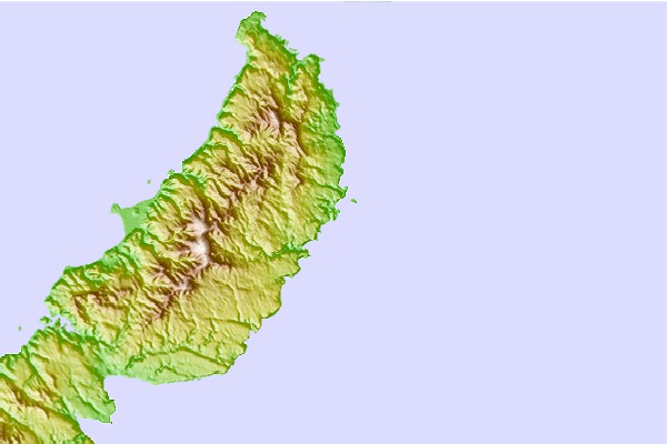
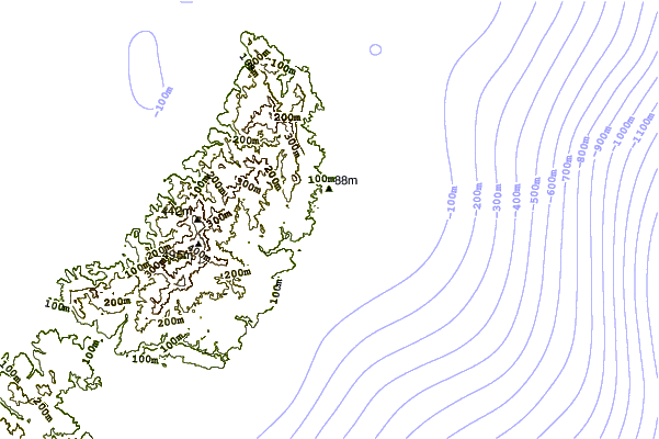
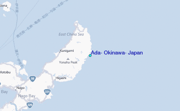
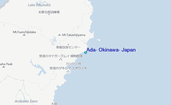
Use this relief map to navigate to tide stations, surf breaks and cities that are in the area of Ada, Okinawa, Japan.
Other Nearby Locations' tide tables and tide charts to Ada, Okinawa, Japan:
click location name for more details
 Surf breaks close to Ada, Okinawa, Japan:
|
||
|---|---|---|
| Closest surf break | Ada | 1 mi |
| Second closest surf break | Aha Rivermouth | 2 mi |
| Third closest surf break | Rocky Point | 6 mi |
| Fourth closest surf break | Oku | 8 mi |
| Fifth closest surf break | Yona Bay | 8 mi |


 Nearest
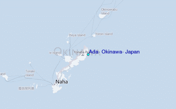