
| Distance / Altitude | Location | Report Date / Time | Live Weather | Wind | Gusts | Temp. | Visibility | Cloud |
|---|---|---|---|---|---|---|---|---|
| 82 km SSW / 6 m | Laiya (Philippines) | 2025-12-25 16:13 local (2025/12/25 08:13 GMT) | dry | calm (5 km/h at 26) | 28°C | - | - - 0 | |
| 112 km W / 22 m | Sucat (Philippines) | 2025-12-25 15:49 local (2025/12/25 07:49 GMT) | dry | wind obs. (6 kph from 157 degs) was rejected (- km/h at -) | 29°C | - | - - 0 | |
| 116 km W / 26 m | Paranaque (Philippines) | 2025-12-25 16:49 local (2025/12/25 08:49 GMT) | dry | light winds from the ESE (10 km/h at 107) | 29°C | - | - - 0 | |
| 119 km W / 217 m | Ninoy Aquino International Airport (Manila) (Philippines) | 2025-12-25 16:00 local (2025/12/25 08:00 GMT) | Dry and partly cloudy | light winds from the SSE.(Wind varies from 090 to 200 degs) (11 km/h at 150) | 30°C | 10.0 | scattered broken broken | |
| 120 km W / 26 m | Quezon City (Åland) | 2025-12-25 16:03 local (2025/12/25 08:03 GMT) | dry | calm (0 km/h at 306) | 29°C | - | - - 0 | |
| 149 km W / 3 m | SHIP8343 (Marine) | 2025-12-25 15:00 local (2025/12/25 07:00 GMT) | - (- km/h at -) | 30°C | - | |||
| 149 km W / 15 m | SHIP8999 (Marine) | 2025-12-25 15:00 local (2025/12/25 07:00 GMT) | - (- km/h at -) | — | - km | |||
| 149 km W / 3 m | SHIP9370 (Marine) | 2025-12-25 15:00 local (2025/12/25 07:00 GMT) | - (- km/h at -) | 30°C | - | |||
| 149 km W / 15 m | SHIP8864 (Marine) | 2025-12-25 16:00 local (2025/12/25 08:00 GMT) | - (- km/h at -) | — | - km | |||
| 149 km W / 15 m | SHIP9990 (Marine) | 2025-12-25 15:00 local (2025/12/25 07:00 GMT) | - (- km/h at -) | — | - km |
| Contours: | Roads & Rivers: | Select a
tide station / surf break / city |
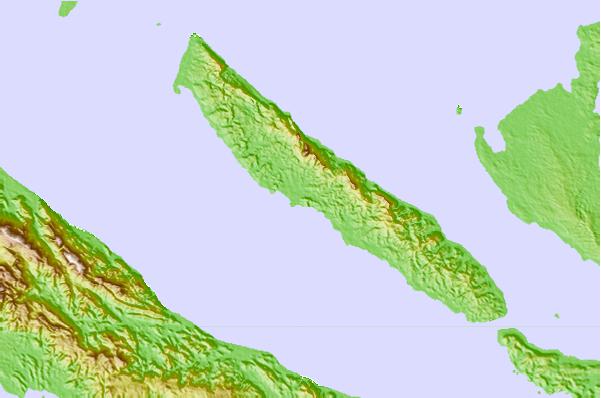
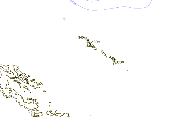
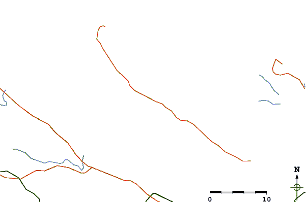
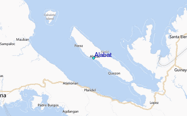
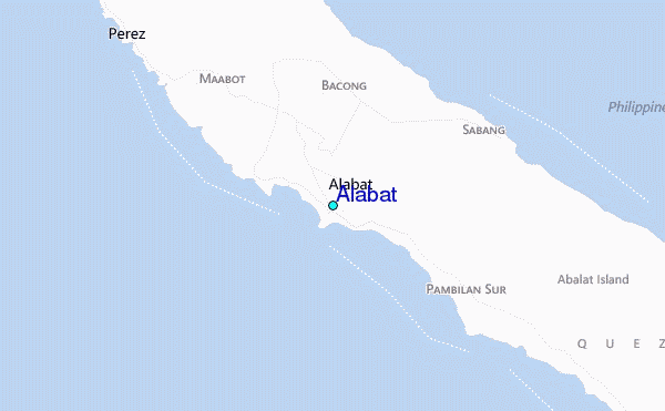
Use this relief map to navigate to tide stations, surf breaks and cities that are in the area of Alabat.
Other Nearby Locations' tide tables and tide charts to Alabat:
click location name for more details
 Surf breaks close to Alabat:
|
||
|---|---|---|
| Closest surf break | Bagasbas Beach | 65 mi |
| Second closest surf break | Cobra Reef - Cemento | 118 mi |
| Third closest surf break | Baler - Sabang | 119 mi |
| Fourth closest surf break | Baler - Charlie's Point | 119 mi |
| Fifth closest surf break | Baler - Lindy's Point | 119 mi |


 Nearest
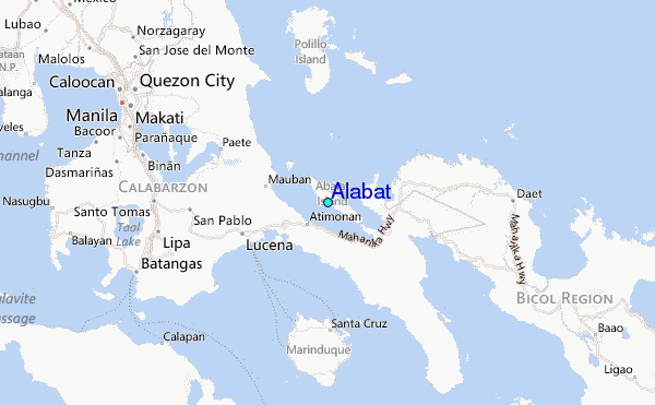