
| Distance / Altitude | Location | Report Date / Time | Live Weather | Wind | Gusts | Temp. | Visibility | Cloud |
|---|---|---|---|---|---|---|---|---|
| 39 km SE / 95 m | Gazipasa Airport (Turkey) | 2024-04-27 01:50 local (2024/04/26 22:50 GMT) | - | light winds from the SE (7 km/h at 140) | — | 0.0 | ||
| 90 km ESE / 580 m | Anamur (Turkey) | 2024-04-27 03:00 local (2024/04/27 00:00 GMT) | no report | calm (2 km/h at 80) | 20°C | 20 | - | |
| 116 km WSW / 220 m | Antalya Airport (Turkey) | 2024-04-27 02:20 local (2024/04/26 23:20 GMT) | - | calm (4 km/h at 330) | — | 0.0 | ||
| 119 km W / 64 m | Antalya Havalimani (Turkey) | 2024-04-27 03:00 local (2024/04/27 00:00 GMT) | no report | calm (4 km/h at 360) | 16°C | 10 | - scattered - | |
| 121 km W / 47 m | Bölge (Antalya) (Turkey) | 2024-04-27 03:00 local (2024/04/27 00:00 GMT) | no report | calm (2 km/h at 280) | 18°C | 20 | - few - |
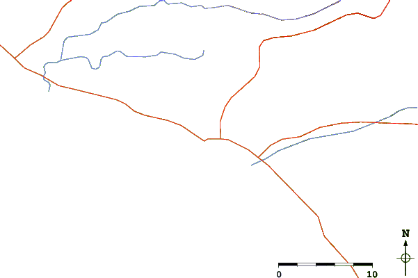
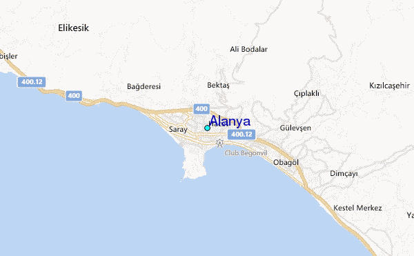
| Contours: | Roads & Rivers: | Select a
tide station / surf break / city |
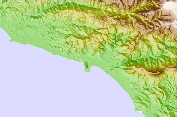
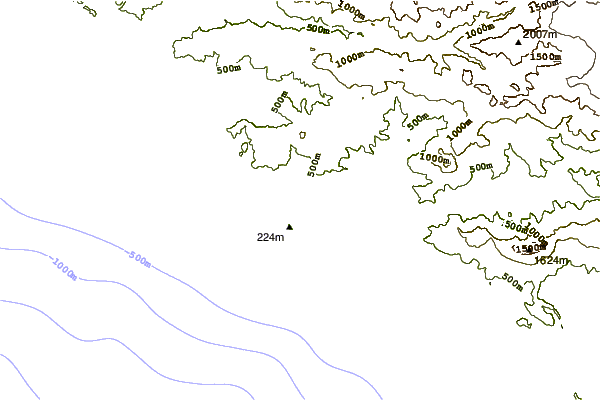
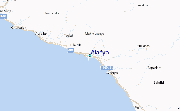
Use this relief map to navigate to tide stations, surf breaks and cities that are in the area of Alanya.
Other Nearby Locations' tide tables and tide charts to Alanya:
click location name for more details
 Surf breaks close to Alanya:
|
||
|---|---|---|
| Closest surf break | Side West Beach | 38 mi |
| Second closest surf break | Antalya (Lara Beach) | 69 mi |
| Third closest surf break | Cripplers | 112 mi |
| Fourth closest surf break | Potima Point | 120 mi |
| Fifth closest surf break | Stone-Tombs | 121 mi |

 Nearest