
| Distance / Altitude | Location | Report Date / Time | Live Weather | Wind | Gusts | Temp. | Visibility | Cloud |
|---|---|---|---|---|---|---|---|---|
| 53 km N / 195 m | Bombay/Santacruz Airport (India) | 2025-12-25 01:00 local (2025/12/24 19:30 GMT) | - | light winds from the SE (9 km/h at 140) | 24°C | 3.5 | few | |
| 274 km N / 5 m | Surat Airport (India) | 2025-12-25 01:00 local (2025/12/24 19:30 GMT) | Haze - | light winds from the NNE (9 km/h at 20) | 20°C | 4.0 | no significant cloud | |
| 376 km SSE / 52 m | Dabolim Airport - Goa (India) | 2025-12-25 00:00 local (2025/12/24 18:30 GMT) | Haze - | light winds from the NNE (9 km/h at 30) | 23°C | 3.0 | no significant cloud | |
| 490 km N / 214 m | Ahmadabad (India) | 2025-12-25 01:00 local (2025/12/24 19:30 GMT) | Haze - | calm (0 km/h at 0) | 20°C | 3.0 | no significant cloud clear - | |
| 544 km NNE / 197 m | Indore (India) | 2025-12-25 01:00 local (2025/12/24 19:30 GMT) | Haze - | light winds from the ENE (6 km/h at 70) | 16°C | 3.0 | no significant cloud few - | |
| 609 km ESE / 605 m | Rajiv Gandhi International Airport (India) | 2025-12-25 01:00 local (2025/12/24 19:30 GMT) | Mist - | light winds from the N (6 km/h at 1) | 14°C | 4.0 | few | |
| 664 km SSE / 103 m | Mangalore International Airport (Bajpe) (India) | 2025-12-25 01:00 local (2025/12/24 19:30 GMT) | Mist - | light winds from the NNE (6 km/h at 30) | 22°C | 4.0 | no significant cloud | |
| 690 km NE / 523 m | Bhopal-Bairagarh (India) | 2025-12-25 00:30 local (2025/12/24 19:00 GMT) | Haze - | calm (0 km/h at 0) | 13°C | 3.0 | no significant cloud - - | |
| 700 km ENE / 32 m | Nagpur Sonegaon Airport (India) | 2025-12-25 01:00 local (2025/12/24 19:30 GMT) | Mist - | calm (2 km/h at 1) | 14°C | 3.5 | no significant cloud | |
| 793 km SE / 915 m | Bengaluru Airport (India) | 2025-12-25 01:00 local (2025/12/24 19:30 GMT) | Mist - | light winds from the E (6 km/h at 80) | 15°C | 3.0 | few |
| Contours: | Roads & Rivers: | Select a
tide station / surf break / city |
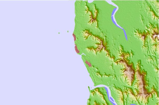
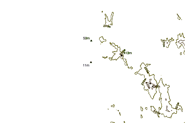
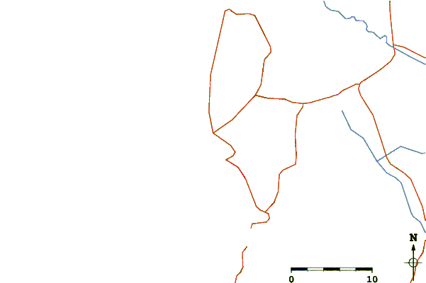
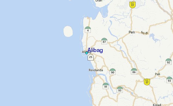
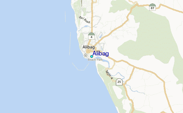
Use this relief map to navigate to tide stations, surf breaks and cities that are in the area of Alibag.
Other Nearby Locations' tide tables and tide charts to Alibag:
click location name for more details
 Surf breaks close to Alibag:
|
||
|---|---|---|
| Closest surf break | Arambol | 211 mi |
| Second closest surf break | Morjim Beach | 216 mi |
| Third closest surf break | Betalbatim Beach Taj | 241 mi |
| Fourth closest surf break | Benaulim Beach | 244 mi |
| Fifth closest surf break | Agonda | 259 mi |


 Nearest
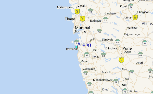