
| Distance / Altitude | Location | Report Date / Time | Live Weather | Wind | Gusts | Temp. | Visibility | Cloud |
|---|---|---|---|---|---|---|---|---|
| 127 km NE / 96 m | Catbalogan-Samar (Philippines) | 2024-04-26 14:00 local (2024/04/26 06:00 GMT) | no report | light winds from the SE (7 km/h at 130) | 34°C | 30 | - scattered - | |
| 130 km SE / 212 m | Maasin (Philippines) | 2024-04-26 14:00 local (2024/04/26 06:00 GMT) | haze | moderate winds from the E (22 km/h at 90) | 35°C | 22 | - | |
| 154 km W / 2 m | Roxas (Philippines) | 2024-04-26 14:00 local (2024/04/26 06:00 GMT) | haze | light winds from the NE (14 km/h at 40) | 33°C | 18 | - | |
| 157 km NW / 35 m | Masbate (Philippines) | 2024-04-26 14:00 local (2024/04/26 06:00 GMT) | no report | wind obs. (11 kph from 110 degs) was rejected (- km/h at -) | 33°C | 20 | - | |
| 158 km NW / 210 m | Macatan Airport (Philippines) | 2024-04-26 14:00 local (2024/04/26 06:00 GMT) | - | light winds from the NE (15 km/h at 40) | 32°C | 10.0 | few |
| Contours: | Roads & Rivers: | Select a
tide station / surf break / city |
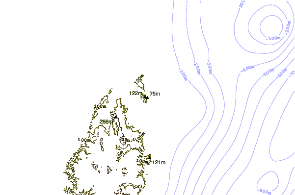
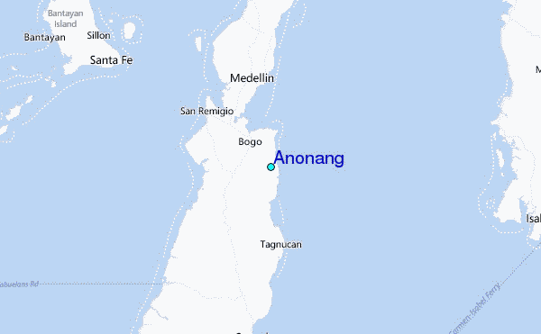
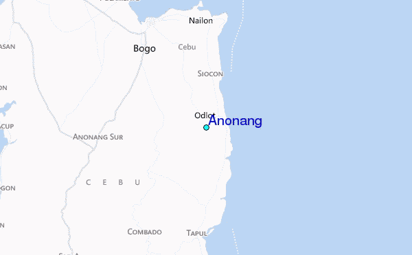
Use this relief map to navigate to tide stations, surf breaks and cities that are in the area of Anonang.
Other Nearby Locations' tide tables and tide charts to Anonang:
click location name for more details
 Surf breaks close to Anonang:
|
||
|---|---|---|
| Closest surf break | Boulevard | 104 mi |
| Second closest surf break | Pirates Cove | 104 mi |
| Third closest surf break | Guitagican Beach | 105 mi |
| Fourth closest surf break | Llorente | 107 mi |
| Fifth closest surf break | Santa Monica | 108 mi |

 Nearest
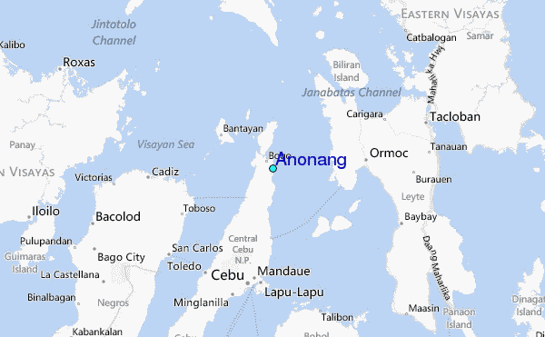