
| Distance / Altitude | Location | Report Date / Time | Live Weather | Wind | Gusts | Temp. | Visibility | Cloud |
|---|---|---|---|---|---|---|---|---|
| 68 km ESE / 256 m | Port-Au-prince Airport (Haiti) | 2024-04-26 14:00 local (2024/04/26 18:00 GMT) | Dry and partly cloudy | light winds from the SSE (15 km/h at 160) | — | 7.0 | scattered broken | |
| 125 km NE / 2 m | Cap-haitien Airport (Haiti) | 2024-04-26 13:58 local (2024/04/26 17:58 GMT) | Dry and partly cloudy | moderate winds from the N (24 km/h at 10) | 26°C | 9.0 | scattered broken | |
| 175 km WSW / 3 m | SHIP638 (Marine) | 2024-04-26 13:00 local (2024/04/26 17:00 GMT) | - (- km/h at -) | 29°C | - | |||
| 199 km ESE / 360 m | Barahona Airport (Dominican Republic) | 2024-04-26 14:00 local (2024/04/26 18:00 GMT) | Widespread dust in suspension not raised by wind | moderate winds from the SE (22 km/h at 130) | 30°C | 32 km | few mostly cloudy broken | |
| 208 km ENE / 64 m | Mao (Dominican Republic) | 2024-04-26 15:39 local (2024/04/26 19:39 GMT) | dry | light winds from the ENE (6 km/h at 61) | 28°C | - | - - 0 |
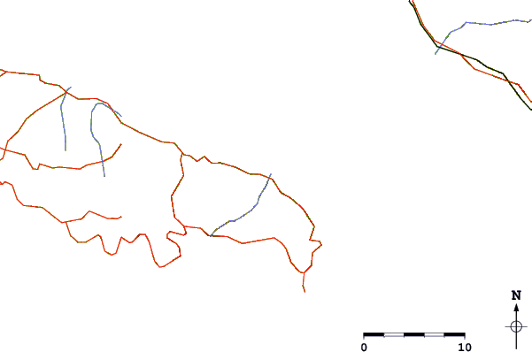
| Contours: | Roads & Rivers: | Select a
tide station / surf break / city |
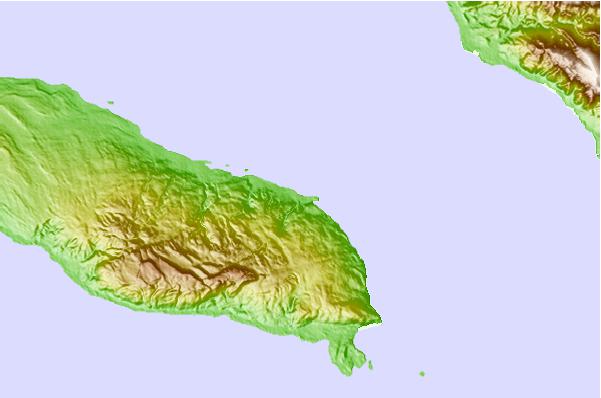
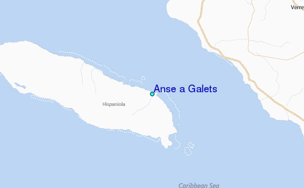
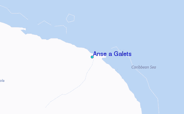
Use this relief map to navigate to tide stations, surf breaks and cities that are in the area of Anse a Galets.
Other Nearby Locations' tide tables and tide charts to Anse a Galets:
click location name for more details
 Surf breaks close to Anse a Galets:
|
||
|---|---|---|
| Closest surf break | Jacmel | 47 mi |
| Second closest surf break | Bahia de las Aguilas | 104 mi |
| Third closest surf break | Paraiso | 124 mi |
| Fourth closest surf break | San Rafael | 124 mi |
| Fifth closest surf break | La Cienega | 124 mi |

 Nearest
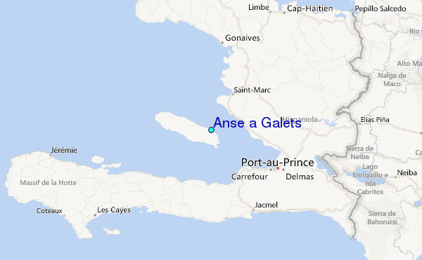