
| Distance / Altitude | Location | Report Date / Time | Live Weather | Wind | Gusts | Temp. | Visibility | Cloud |
|---|---|---|---|---|---|---|---|---|
| 1 km ENE / 3 m | BUOY-APRP7 (Marine) | 2025-12-25 20:00 local (2025/12/25 10:00 GMT) | calm (5 km/h at 80) | — | - | |||
| 12 km SE / 73 m | Windward Hills wx (Guam) | 2025-12-25 20:19 local (2025/12/25 10:19 GMT) | dry | calm (2 km/h at 0) | 26°C | - | - - 0 | |
| 15 km ENE / 36 m | Tamuning (Guam) | 2025-12-25 20:17 local (2025/12/25 10:17 GMT) | dry | calm (3 km/h at 121) | 27°C | - | - - 0 | |
| 16 km E / 3 m | BUOY-PGBP7 (Marine) | 2025-12-25 20:00 local (2025/12/25 10:00 GMT) | calm (5 km/h at 110) | — | - | |||
| 18 km ESE / 3 m | Ipan- Guam (Marine) | 2025-12-25 19:56 local (2025/12/25 09:56 GMT) | - (- km/h at -) | — | - | |||
| 19 km ESE / 218 m | Agana- Guam Airport (Guam) | 2025-12-25 18:54 local (2025/12/25 08:54 GMT) | Clear | light winds from the E (13 km/h at 100) | 27°C | 16 | ||
| 32 km ENE / 217 m | Mariana/Andersen Airport (Guam) | 2025-12-25 19:25 local (2025/12/25 09:25 GMT) | Dry and partly cloudy | light winds from the E (19 km/h at 100) | 27°C | 16 | scattered | |
| 32 km NE / 3 m | Ritidian Point- Guam (Marine) | 2025-12-25 19:56 local (2025/12/25 09:56 GMT) | - (- km/h at -) | — | - | |||
| 200 km NNE / 449 m | Peipeinimaru Airport (Guam) | 2025-12-25 18:55 local (2025/12/25 08:55 GMT) | - | light winds from the E (19 km/h at 80) | 28°C | 11 | few | |
| 218 km NNE / 218 m | Saipan International Airport (Micronesia) | 2025-12-25 18:54 local (2025/12/25 08:54 GMT) | - | light winds from the E (19 km/h at 100) | 27°C | 16 | few |
| Contours: | Roads & Rivers: | Select a
tide station / surf break / city |
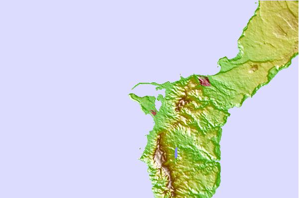
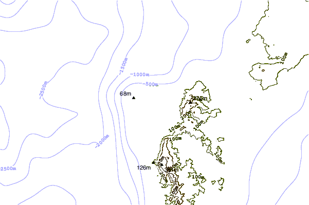
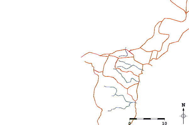
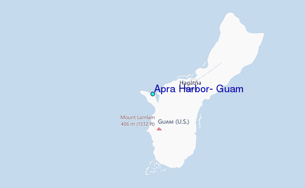
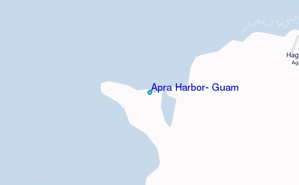
Use this relief map to navigate to tide stations, surf breaks and cities that are in the area of Apra Harbor, Guam.
Other Nearby Locations' tide tables and tide charts to Apra Harbor, Guam:
click location name for more details
 Surf breaks close to Apra Harbor, Guam:
|
||
|---|---|---|
| Closest surf break | Mangandas | 2 mi |
| Second closest surf break | Magoos | 3 mi |
| Third closest surf break | Graveyards | 4 mi |
| Fourth closest surf break | Mutungs | 4 mi |
| Fifth closest surf break | Leftovers | 6 mi |


 Nearest
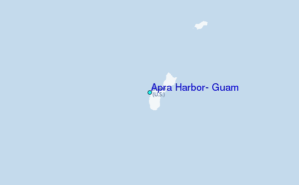