
| Distance / Altitude | Location | Report Date / Time | Live Weather | Wind | Gusts | Temp. | Visibility | Cloud |
|---|---|---|---|---|---|---|---|---|
| 25 km NW / 29 m | ST Anthony- Nfld (Canada) | 2024-04-25 22:30 local (2024/04/26 01:00 GMT) | no report | - (- km/h at -) | 1°C | - | - | |
| 25 km N / 196 m | Saint Anthony Airport (Newfoundland) | 2024-04-25 23:12 local (2024/04/26 01:42 GMT) | Light rain | strong winds from the SSW (41 km/h at 200) | 0°C | 14 | scattered broken overcast | |
| 26 km N / 33 m | St.Anthony-Nfld (Canada) | 2024-04-25 22:30 local (2024/04/26 01:00 GMT) | no report | fresh winds from the S (36 km/h at 180) | 1°C | 36 km | - overcast - | |
| 43 km NW / 3 m | SHIP2265 (Marine) | 2024-04-25 21:30 local (2024/04/26 00:00 GMT) | strong winds from the SW (42 km/h at 230) | 1°C | - | |||
| 50 km S / 30 m | Englee(Aut)-Nfld (Canada) | 2024-04-25 22:30 local (2024/04/26 01:00 GMT) | no report | moderate winds from the SW (25 km/h at 220) | 1°C | - | - no observation - |
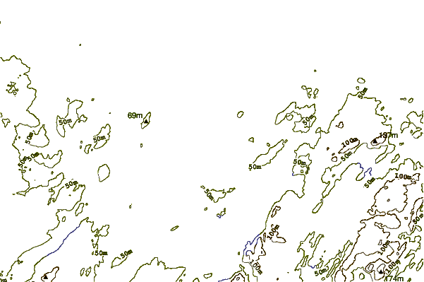
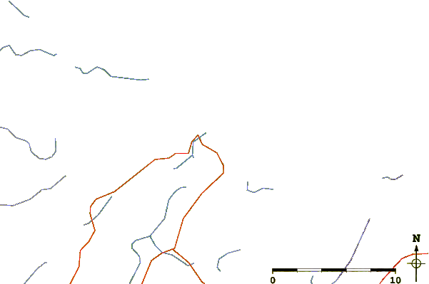
| Contours: | Roads & Rivers: | Select a
tide station / surf break / city |
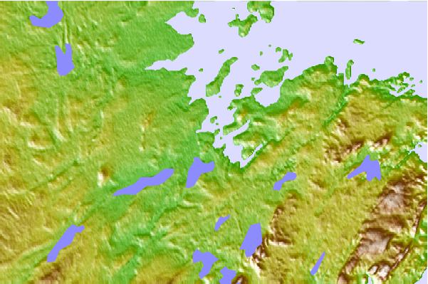
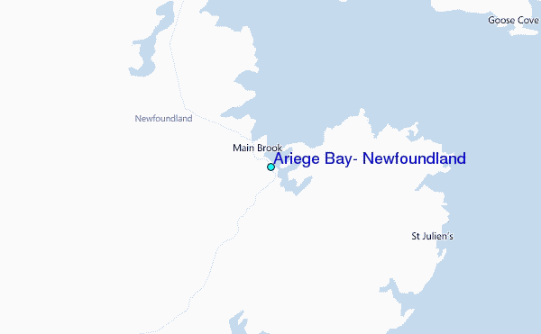
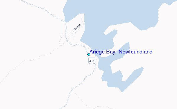
Use this relief map to navigate to tide stations, surf breaks and cities that are in the area of Ariege Bay, Newfoundland.
Other Nearby Locations' tide tables and tide charts to Ariege Bay, Newfoundland:
click location name for more details
 Surf breaks close to Ariege Bay, Newfoundland:
|
||
|---|---|---|
| Closest surf break | Ingonish Beach | 371 mi |
| Second closest surf break | Kennington Cove | 410 mi |
| Third closest surf break | Michaud Point | 443 mi |
| Fourth closest surf break | Martinique | 557 mi |
| Fifth closest surf break | Lawrencetown Left Point | 564 mi |

 Nearest
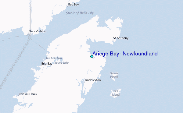