
| Distance / Altitude | Location | Report Date / Time | Live Weather | Wind | Gusts | Temp. | Visibility | Cloud |
|---|---|---|---|---|---|---|---|---|
| 119 km NW / 80 m | Dalipdip wx (Philippines) | 2024-04-26 08:38 local (2024/04/26 00:38 GMT) | dry | calm (3 km/h at 87) | 29°C | - | - - 0 | |
| 144 km SSE / 8 m | Dumaguete (Philippines) | 2024-04-26 08:00 local (2024/04/26 00:00 GMT) | Dry and partly cloudy | light winds from the ENE (11 km/h at 70) | 30°C | 10.0 | few scattered - | |
| 156 km SW / 15 m | SHIP3491 (Marine) | 2024-04-26 08:00 local (2024/04/26 00:00 GMT) | - (- km/h at -) | — | - km | |||
| 205 km WSW / 4 m | Cuyo (Philippines) | 2024-04-26 08:00 local (2024/04/26 00:00 GMT) | - | calm (4 km/h at 240) | — | 38 km | few | |
| 218 km NNE / 210 m | Macatan Airport (Philippines) | 2024-04-26 08:00 local (2024/04/26 00:00 GMT) | - | light winds from the NNE (11 km/h at 30) | 30°C | 30 km | few scattered - |
| Contours: | Roads & Rivers: | Select a
tide station / surf break / city |
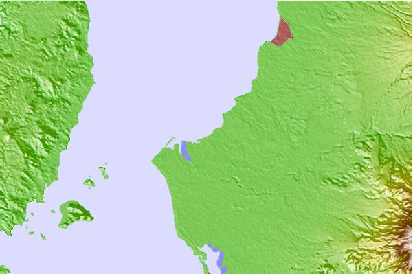
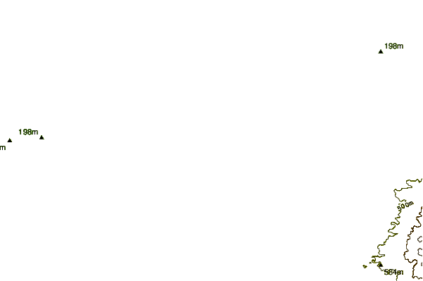
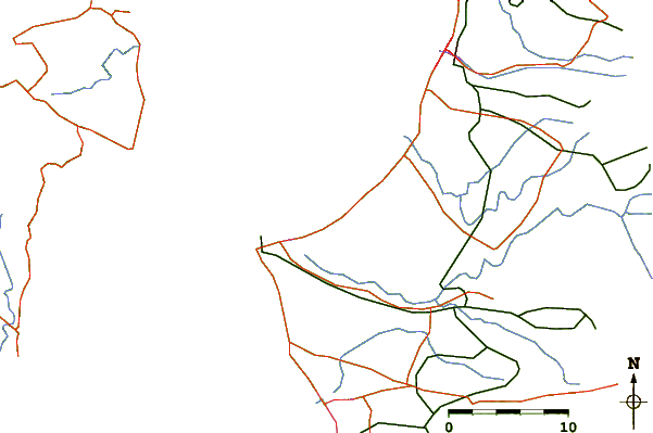
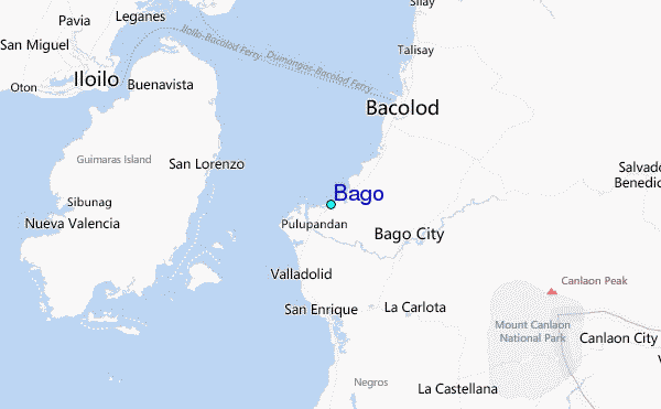
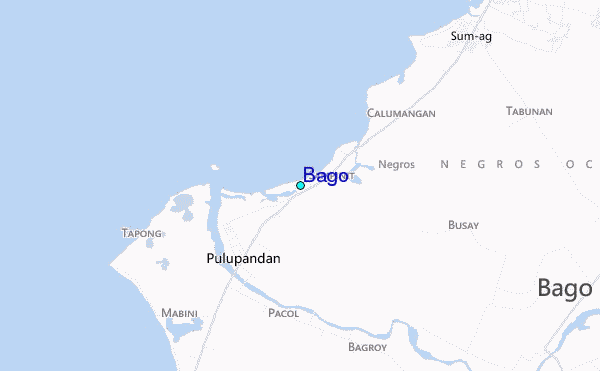
Use this relief map to navigate to tide stations, surf breaks and cities that are in the area of Bago.
Other Nearby Locations' tide tables and tide charts to Bago:
click location name for more details
 Surf breaks close to Bago:
|
||
|---|---|---|
| Closest surf break | Boulevard | 190 mi |
| Second closest surf break | Guitagican Beach | 190 mi |
| Third closest surf break | Pirates Cove | 190 mi |
| Fourth closest surf break | Llorente | 192 mi |
| Fifth closest surf break | Santa Monica | 193 mi |

 Nearest
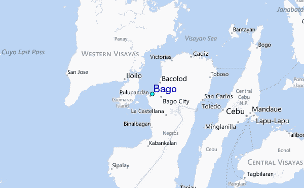