
| Distance / Altitude | Location | Report Date / Time | Live Weather | Wind | Gusts | Temp. | Visibility | Cloud |
|---|---|---|---|---|---|---|---|---|
| 22 km SSE / 3 m | BUOY-BMTW1 (Marine) | 2025-12-20 12:00 local (2025/12/20 20:00 GMT) | light winds from the NE (15 km/h at 40) | 7°C | - | |||
| 24 km ESE / 3 m | BUOY-WPOW1 (Marine) | 2025-12-20 12:00 local (2025/12/20 20:00 GMT) | strong winds from the S (41 km/h at 190) | 8°C | - | |||
| 25 km E / 3 m | BUOY-46120 (Marine) | 2025-12-20 11:50 local (2025/12/20 19:50 GMT) | fresh winds from the SE (36 km/h at 140) | 8°C | - | |||
| 28 km S / 537 m | Bremerton National Airport (Washington) | 2025-12-20 11:26 local (2025/12/20 19:26 GMT) | Light rain | moderate winds from the SSW.(Wind varies from 003 to 007 degs) (22 km/h at 200) | 5°C | 16 | overcast | |
| 31 km SE / 100 m | Seattle (Washington) | 2025-12-20 12:31 local (2025/12/20 20:31 GMT) | - | wind obs. (8 kph from 103 degs) was rejected (- km/h at -) | 17°C | - | - - 0 | |
| 34 km NW / 37 m | Port Townsend Airport (Washington) (Washington) | 2025-12-20 11:35 local (2025/12/20 19:35 GMT) | Dry and cloudy | light winds from the N (9 km/h at 1) | 7°C | 16 | overcast | |
| 38 km ENE / 218 m | Everett Airport (Washington) | 2025-12-20 10:53 local (2025/12/20 18:53 GMT) | Dry and cloudy | moderate winds from the S (26 km/h at 170) | 6°C | 16 | overcast | |
| 38 km SE / 218 m | Seattle/Boeing Airport (Washington) | 2025-12-20 10:53 local (2025/12/20 18:53 GMT) | Dry and partly cloudy | moderate winds from the S (26 km/h at 180) | 8°C | 16 | scattered broken | |
| 40 km N / 3 m | BUOY-PTWW1 (Marine) | 2025-12-20 12:00 local (2025/12/20 20:00 GMT) | moderate winds from the SSE (28 km/h at 150) | 8°C | - | |||
| 45 km SE / 218 m | Seattle Tacoma International Airport (Washington) | 2025-12-20 10:53 local (2025/12/20 18:53 GMT) | Dry and cloudy | moderate winds from the S (22 km/h at 180) | 7°C | 16 | broken overcast |
| Contours: | Roads & Rivers: | Select a
tide station / surf break / city |
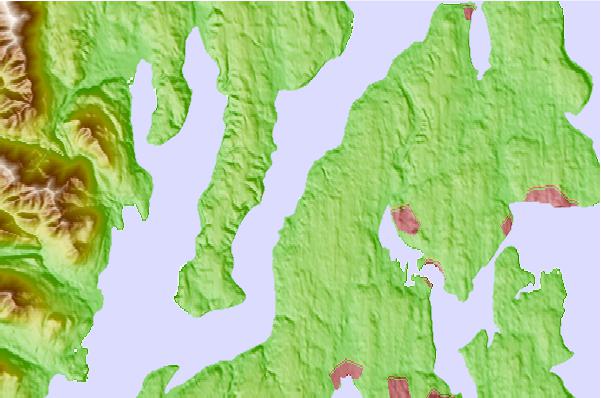
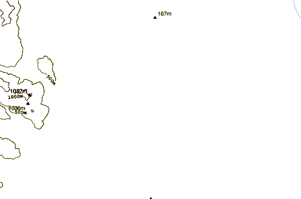
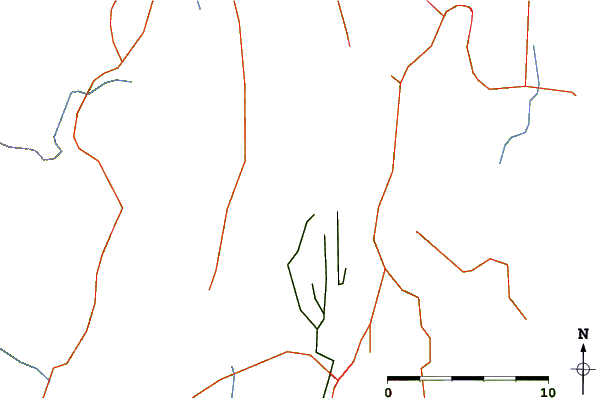
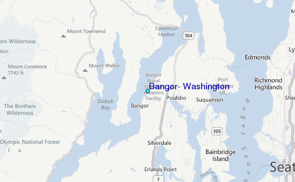
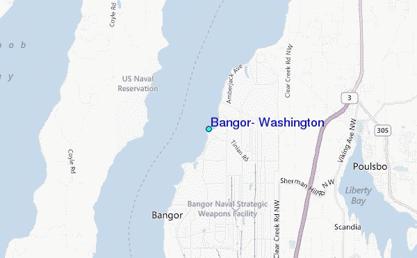
Use this relief map to navigate to tide stations, surf breaks and cities that are in the area of Bangor, Washington.
Other Nearby Locations' tide tables and tide charts to Bangor, Washington:
click location name for more details
 Surf breaks close to Bangor, Washington:
|
||
|---|---|---|
| Closest surf break | Fort. Ebey | 33 mi |
| Second closest surf break | Super green | 36 mi |
| Third closest surf break | Elwha | 48 mi |
| Fourth closest surf break | Crescent | 54 mi |
| Fifth closest surf break | Whiskey Creek | 57 mi |


 Nearest
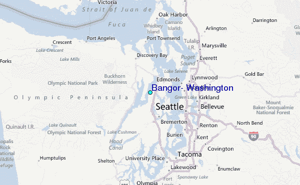