
| Distance / Altitude | Location | Report Date / Time | Live Weather | Wind | Gusts | Temp. | Visibility | Cloud |
|---|---|---|---|---|---|---|---|---|
| 5 km NE / 560 m | Bata (Rio Muni) (Equatorial Guinea) | 2026-06-13 10:00 local (2026/06/13 09:00 GMT) | no report | light winds from the S (15 km/h at 180) | 29°C | 8 | - | |
| 161 km S / 15 m | Libreville/Leon M'Ba Airport (Gabon) | 2026-06-13 10:00 local (2026/06/13 09:00 GMT) | no report | wind obs. (7 kph from 140 degs) was rejected (- km/h at -) | 25°C | 10 | - - - | |
| 203 km E / 552 m | Oyem (Woleu-Ntem) (Gabon) | 2026-06-13 10:00 local (2026/06/13 09:00 GMT) | no report | - (- km/h at -) | 25°C | 10 | - | |
| 236 km NW / 611 m | Malabo/Fernando Poo Airport (Equatorial Guinea) | 2026-06-13 10:00 local (2026/06/13 09:00 GMT) | state of sky unchanged | light winds from the SW (11 km/h at 220) | 30°C | 10 | scattered - - | |
| 290 km S / 79 m | Lambarene (Gabon) | 2026-06-13 10:00 local (2026/06/13 09:00 GMT) | no report | - (- km/h at -) | — | 9 | - | |
| 306 km S / 4 m | Port Gentil Airport (Gabon) | 2026-06-13 10:00 local (2026/06/13 09:00 GMT) | no report | light winds from the SSW (19 km/h at 200) | 27°C | 8 | few - - | |
| 436 km SSE / 89 m | Mouila (Gabon) | 2026-06-13 10:00 local (2026/06/13 09:00 GMT) | fog, sky visible, thinning | - (- km/h at -) | — | 1000 | - - - | |
| 444 km SE / 483 m | Lastourville (Gabon) | 2026-06-13 10:00 local (2026/06/13 09:00 GMT) | state of sky unchanged | - (- km/h at -) | 25°C | 10 | - - - | |
| 464 km ESE / 408 m | Kelle (Congo) | 2026-06-13 10:00 local (2026/06/13 09:00 GMT) | state of sky unchanged | light winds from the W (7 km/h at 280) | 24°C | 10 | - | |
| 564 km SE / 313 m | Franceville/M'Vengue El Hadj Omar Bongo Ondimba International Airport (Gabon) | 2026-06-13 10:00 local (2026/06/13 09:00 GMT) | no report | wind obs. (7 kph from 220 degs) was rejected (- km/h at -) | 26°C | 8 | - - - |
| Contours: | Roads & Rivers: | Select a
tide station / surf break / city |
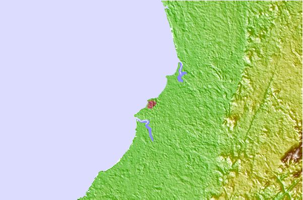
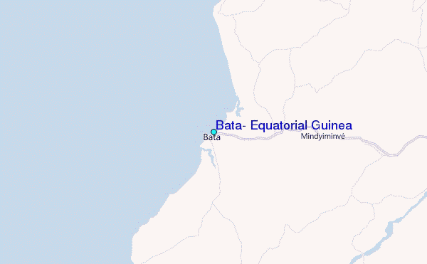
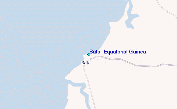
Use this relief map to navigate to tide stations, surf breaks and cities that are in the area of Bata, Equatorial Guinea.
Other Nearby Locations' tide tables and tide charts to Bata, Equatorial Guinea:
click location name for more details
 Surf breaks close to Bata, Equatorial Guinea:
|
||
|---|---|---|
| Closest surf break | Kribi | 75 mi |
| Second closest surf break | Ferme aux Crocos | 98 mi |
| Third closest surf break | Gueque | 103 mi |
| Fourth closest surf break | Ngombe | 112 mi |
| Fifth closest surf break | Seme Beach Limbe | 155 mi |


 Nearest
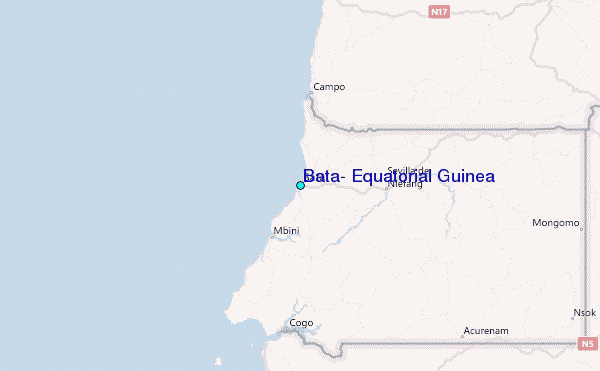