
| Distance / Altitude | Location | Report Date / Time | Live Weather | Wind | Gusts | Temp. | Visibility | Cloud |
|---|---|---|---|---|---|---|---|---|
| 31 km NW / 212 m | Havana/Jose Martí Airport (Cuba) | 2025-12-24 05:50 local (2025/12/24 10:50 GMT) | - | calm (4 km/h at 230) | — | 7.0 | ||
| 32 km NW / 75 m | AeropuertoJoseMarti- Rancho -Boyeros- Habana (Cuba) | 2025-12-24 07:00 local (2025/12/24 12:00 GMT) | Haze | calm (4 km/h at 230) | 15°C | 29 km | few | |
| 94 km ENE / 213 m | Varadero Airport (Cuba) | 2025-12-24 05:50 local (2025/12/24 10:50 GMT) | - | light winds from the ENE (9 km/h at 60) | 20°C | 9.0 | few | |
| 94 km ENE / 65 m | VaraderoMT (Cuba) | 2025-12-24 07:00 local (2025/12/24 12:00 GMT) | Clear skies | light winds from the ENE (11 km/h at 70) | 19°C | 29 km | few | |
| 125 km NW / 3 m | SHIP8668 (Marine) | 2025-12-24 07:00 local (2025/12/24 12:00 GMT) | - (- km/h at -) | 23°C | - | |||
| 141 km W / - m | SHIP1157 (ocean) | 2025-12-24 07:00 local (2025/12/24 12:00 GMT) | No report | near gales from the ENE (56 km/h at 60) | 25°C | 20 km | mostly cloudy | |
| 141 km W / 3 m | SHIP8667 (Marine) | 2025-12-24 07:00 local (2025/12/24 12:00 GMT) | near gales from the ENE (55 km/h at 60) | 25°C | 20.4 | |||
| 142 km SSE / 378 m | Cayo Largo D Sur Airport (Cuba) | 2025-12-24 05:50 local (2025/12/24 10:50 GMT) | - | moderate winds from the ENE.(Wind varies from 030 to 100 degs) (20 km/h at 60) | — | 0.0 | ||
| 151 km NW / 3 m | SHIP2831 (Marine) | 2025-12-24 06:00 local (2025/12/24 11:00 GMT) | - (- km/h at -) | 23°C | - | |||
| 151 km NW / 3 m | SHIP8536 (Marine) | 2025-12-24 06:00 local (2025/12/24 11:00 GMT) | - (- km/h at -) | 23°C | - |
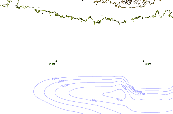
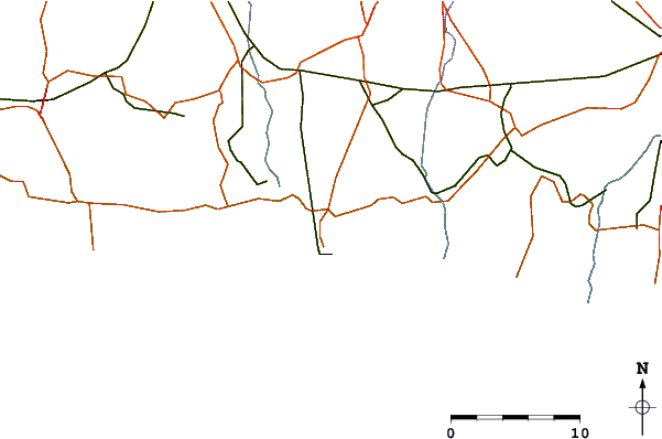
| Contours: | Roads & Rivers: | Select a
tide station / surf break / city |
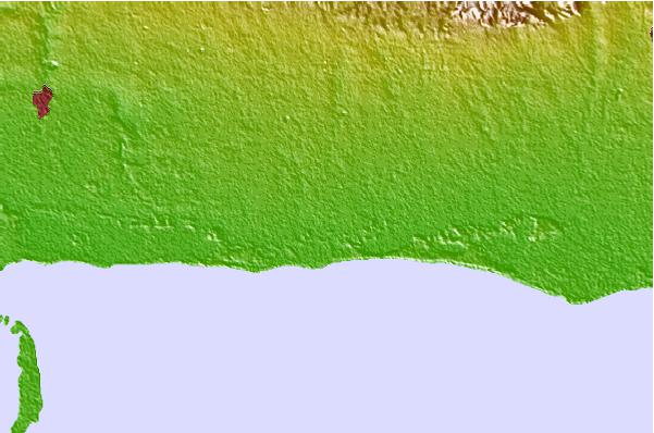
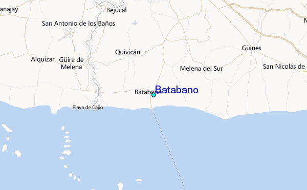
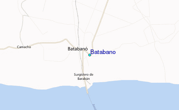
Use this relief map to navigate to tide stations, surf breaks and cities that are in the area of Batabano.
Other Nearby Locations' tide tables and tide charts to Batabano:
click location name for more details
 Surf breaks close to Batabano:
|
||
|---|---|---|
| Closest surf break | Naples Pier | 234 mi |
| Second closest surf break | 7 Mile Beach | 241 mi |
| Third closest surf break | South Sound | 246 mi |
| Fourth closest surf break | East End | 249 mi |
| Fifth closest surf break | Wiggins Pass | 249 mi |


 Nearest
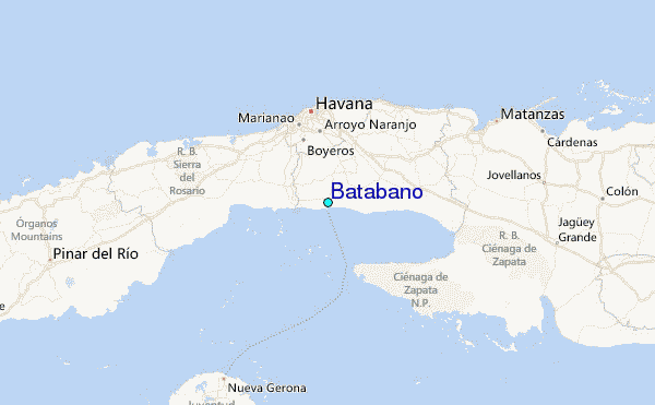