
| Distance / Altitude | Location | Report Date / Time | Live Weather | Wind | Gusts | Temp. | Visibility | Cloud |
|---|---|---|---|---|---|---|---|---|
| 52 km S / 217 m | Beirut Airport (Lebanon) | 2024-04-26 17:00 local (2024/04/26 14:00 GMT) | Mist - | light winds from the SSW (15 km/h at 210) | 23°C | 5.0 | broken | |
| 64 km S / 875 m | Baaqline (Lebanon) | 2024-04-26 18:23 local (2024/04/26 15:23 GMT) | dry | calm (0 km/h at 26) | 22°C | - | - - 0 | |
| 122 km SE / 709 m | Damascus Airport (Syria) | 2024-04-26 17:00 local (2024/04/26 14:00 GMT) | Dry and partly cloudy | light winds from the NNW (19 km/h at 330) | 33°C | 8.0 | few broken | |
| 140 km N / 214 m | Latakia Airport (Syria) | 2024-04-26 17:00 local (2024/04/26 14:00 GMT) | Haze - | light winds from the WSW (7 km/h at 250) | 25°C | 5.0 | few broken | |
| 144 km S / 934 m | Har -Knaan (Zefat) (Israel) | 2024-04-26 17:00 local (2024/04/26 14:00 GMT) | no report | - (- km/h at -) | — | - | - |
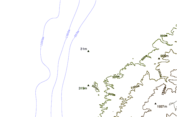
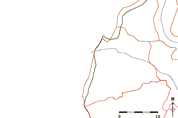
| Contours: | Roads & Rivers: | Select a
tide station / surf break / city |
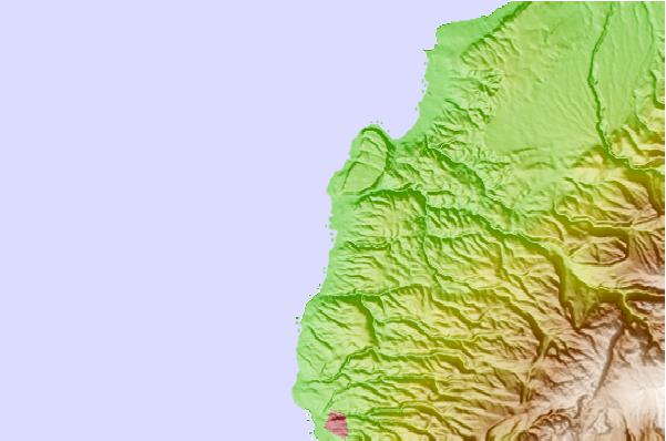
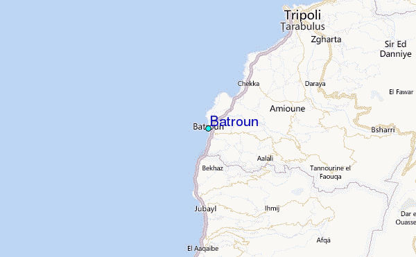
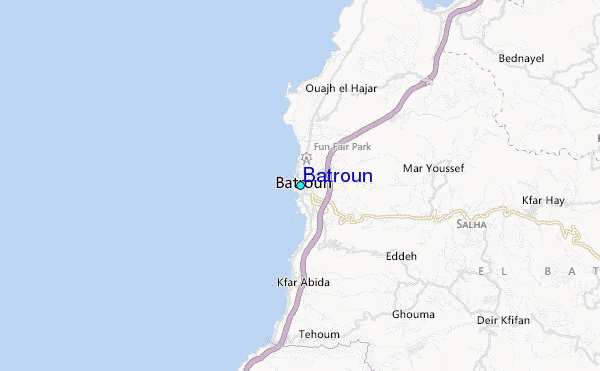
Use this relief map to navigate to tide stations, surf breaks and cities that are in the area of Batroun.
Other Nearby Locations' tide tables and tide charts to Batroun:
click location name for more details
 Surf breaks close to Batroun:
|
||
|---|---|---|
| Closest surf break | Batroun or Colonel | 1 mi |
| Second closest surf break | Sandy Beach - Chekka | 5 mi |
| Third closest surf break | Tam Tam | 10 mi |
| Fourth closest surf break | Nahr Brahim | 14 mi |
| Fifth closest surf break | Phil and Did (Akif's reef) | 43 mi |

 Nearest
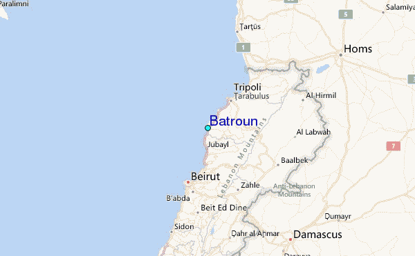