
| Distance / Altitude | Location | Report Date / Time | Live Weather | Wind | Gusts | Temp. | Visibility | Cloud |
|---|---|---|---|---|---|---|---|---|
| 28 km NNE / 12 m | Mornington Island Airport (Australia) | 2024-04-27 12:00 local (2024/04/27 02:00 GMT) | Clear skies | moderate winds from the SSE (20 km/h at 150) | 26°C | - | - no observation - | |
| 28 km NNE / 12 m | Mornington Island Airport (Australia) | 2024-04-27 11:00 local (2024/04/27 01:00 GMT) | no report | moderate winds from the SSE (20 km/h at 150) | 26°C | - | - | |
| 61 km ESE / 4 m | Sweers Island (Australia) | 2024-04-27 11:00 local (2024/04/27 01:00 GMT) | no report | light winds from the SE (6 km/h at 140) | 25°C | 40 | - | |
| 106 km SSE / 6 m | Burketown Airport (Australia) | 2024-04-27 12:00 local (2024/04/27 02:00 GMT) | Clear skies | light winds from the ESE (11 km/h at 120) | — | - | - no observation - | |
| 209 km S / 127 m | Century Mine (Australia) | 2024-04-27 12:00 local (2024/04/27 02:00 GMT) | no report | light winds from the SE (17 km/h at 130) | 28°C | - | - no observation - |
| Contours: | Roads & Rivers: | Select a
tide station / surf break / city |

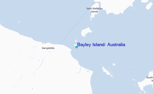
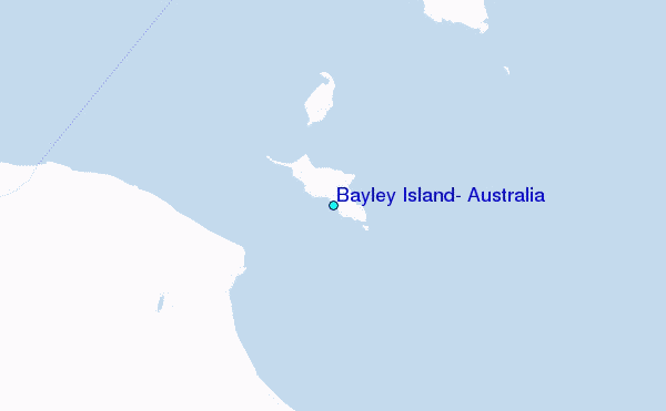
Use this relief map to navigate to tide stations, surf breaks and cities that are in the area of Bayley Island, Australia.
Other Nearby Locations' tide tables and tide charts to Bayley Island, Australia:
click location name for more details
 Surf breaks close to Bayley Island, Australia:
|
||
|---|---|---|
| Closest surf break | Fannie Bay | 631 mi |
| Second closest surf break | Rapid Creek - Beach | 631 mi |
| Third closest surf break | Rapid Creek - Bar | 632 mi |
| Fourth closest surf break | Rapid Creek - Reef | 632 mi |
| Fifth closest surf break | Casuarina (Darwin) | 635 mi |

 Nearest
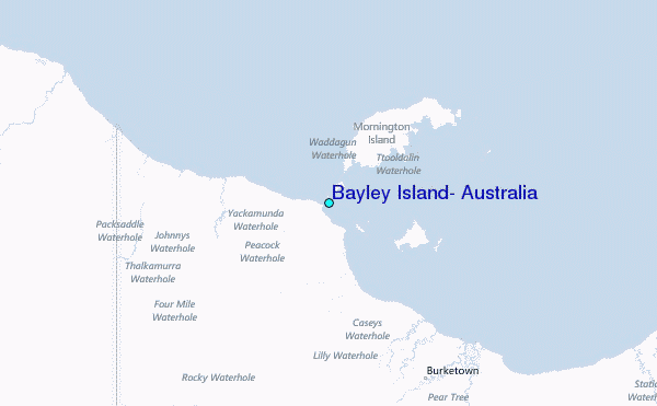