
| Distance / Altitude | Location | Report Date / Time | Live Weather | Wind | Gusts | Temp. | Visibility | Cloud |
|---|---|---|---|---|---|---|---|---|
| 237 km W / 1 m | Ambouli Djibouti Airport (Djibouti) | 2024-05-08 02:55 local (2024/05/07 23:55 GMT) | Clear | calm (0 km/h at 0) | 30°C | 10.0 | - - - | |
| 247 km N / 184 m | Aden International Airport (Yemen) | 2024-05-08 03:00 local (2024/05/08 00:00 GMT) | Dry and partly cloudy | light winds from the ENE (19 km/h at 70) | 30°C | 10.0 | few scattered | |
| 422 km S / 728 m | Gabagaba wx (Ethiopia) | 2024-05-08 04:08 local (2024/05/08 01:08 GMT) | - | calm (3 km/h at 56) | — | - | - - 0 | |
| 703 km SW / 2355 m | Addis Ababa/bole (Ethiopia) | 2024-05-08 03:00 local (2024/05/08 00:00 GMT) | Dry and partly cloudy | light winds from the NNW (7 km/h at 340) | — | 10.0 | broken broken | |
| 736 km NNE / 660 m | Sayun Airport (Yemen) | 2024-05-08 04:00 local (2024/05/08 01:00 GMT) | - | calm (0 km/h at 0) | — | 0.0 |
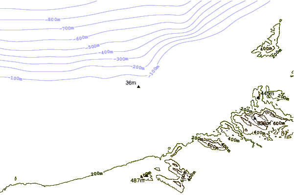
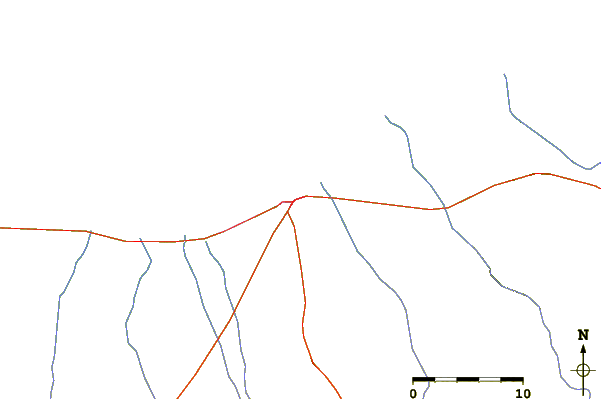
| Contours: | Roads & Rivers: | Select a
tide station / surf break / city |
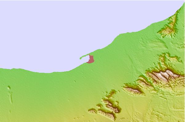
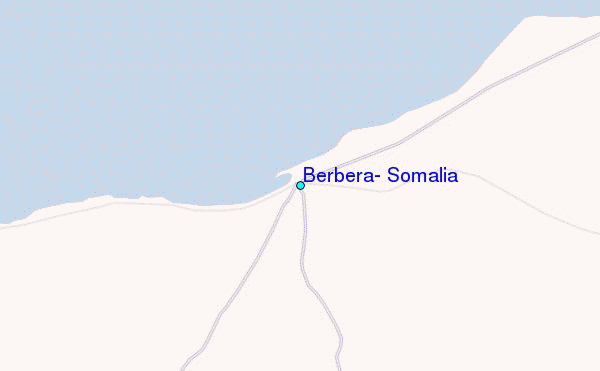
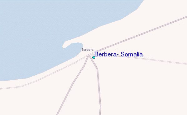
Use this relief map to navigate to tide stations, surf breaks and cities that are in the area of Berbera, Somalia.
Other Nearby Locations' tide tables and tide charts to Berbera, Somalia:
click location name for more details
 Surf breaks close to Berbera, Somalia:
|
||
|---|---|---|
| Closest surf break | Pirights | 421 mi |
| Second closest surf break | Qulansiyah | 596 mi |
| Third closest surf break | Malindi Bay | 1001 mi |
| Fourth closest surf break | Watamu Bay | 1013 mi |
| Fifth closest surf break | Mombasa Channel | 1068 mi |

 Nearest
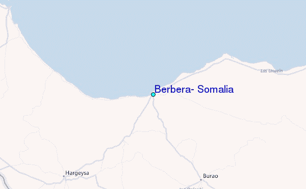