
| Distance / Altitude | Location | Report Date / Time | Live Weather | Wind | Gusts | Temp. | Visibility | Cloud |
|---|---|---|---|---|---|---|---|---|
| 1 km S / 3 m | BUOY-BEXA2 (Marine) | 2025-12-26 02:32 local (2025/12/26 11:32 GMT) | fresh winds from the NNE (37 km/h at 20) | -17°C | - | |||
| 3 km SSW / 214 m | Bethel Airport (Alaska) | 2025-12-26 00:53 local (2025/12/26 09:53 GMT) | Dry and cloudy | strong winds from the NNE (39 km/h at 20) | -16°C | 16 | overcast | |
| 110 km NNE / 16 m | Russian Mission Airport (Alaska) | 2025-12-26 00:56 local (2025/12/26 09:56 GMT) | Dry and partly cloudy | light winds from the ENE (11 km/h at 60) | -17°C | 16 | broken | |
| 112 km NE / 17 m | Kalskag Airport (Alaska) | 2025-12-26 00:56 local (2025/12/26 09:56 GMT) | Dry and partly cloudy | light winds from the NE (13 km/h at 40) | -14°C | 16 | broken | |
| 117 km S / 13 m | Quinhagak (AK) (Alaska) | 2025-12-26 01:08 local (2025/12/26 10:08 GMT) | Light snow | moderate winds from the N (24 km/h at 350) | — | 5 | scattered scattered | |
| 120 km N / 31 m | Marshall (Alaska) | 2025-12-26 00:56 local (2025/12/26 09:56 GMT) | Dry and partly cloudy | strong winds from the E (41 km/h at 80) | -17°C | 16 | broken | |
| 148 km NE / 216 m | Aniak Airport (Alaska) | 2025-12-26 00:56 local (2025/12/26 09:56 GMT) | Dry and cloudy | light winds from the N (7 km/h at 1) | -18°C | 16 | overcast | |
| 159 km SSW / 213 m | Kipnuk Airport (AK) (United States) | 2025-12-26 01:25 local (2025/12/26 10:25 GMT) | Dry and cloudy | strong winds from the NNE (44 km/h at 30) | -14°C | 16 | scattered overcast | |
| 164 km NW / 217 m | Saint Marys Airport (Alaska) | 2025-12-26 00:56 local (2025/12/26 09:56 GMT) | Dry and partly cloudy | light winds from the NE (17 km/h at 40) | -16°C | 16 | broken | |
| 178 km WNW / 103 m | Mountain Village Airport (Alaska) | 2025-12-26 00:56 local (2025/12/26 09:56 GMT) | Dry and partly cloudy | fresh winds from the N (33 km/h at 10) | -16°C | 16 | broken |
| Contours: | Roads & Rivers: | Select a
tide station / surf break / city |
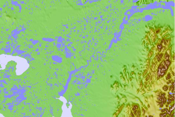
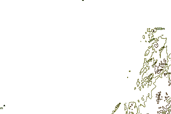
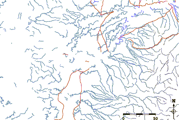
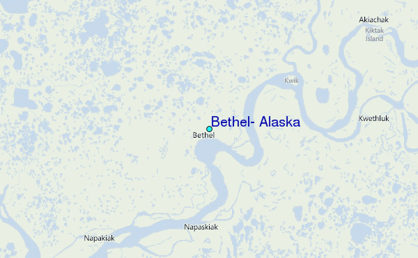
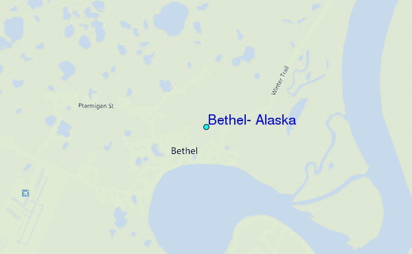
Use this relief map to navigate to tide stations, surf breaks and cities that are in the area of Bethel, Alaska.
Other Nearby Locations' tide tables and tide charts to Bethel, Alaska:
click location name for more details
 Surf breaks close to Bethel, Alaska:
|
||
|---|---|---|
| Closest surf break | Bird Point (Tidal Bore) | 350 mi |
| Second closest surf break | Termination Point | 387 mi |
| Third closest surf break | Monashka Bay | 387 mi |
| Fourth closest surf break | Mill Bay | 390 mi |
| Fifth closest surf break | Fossil Beach Kodiak | 406 mi |


 Nearest
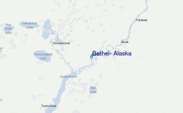