
| Distance / Altitude | Location | Report Date / Time | Live Weather | Wind | Gusts | Temp. | Visibility | Cloud |
|---|---|---|---|---|---|---|---|---|
| 6 km ESE / 1 m | Gulf Shores wx (United States) | 2024-04-26 10:07 local (2024/04/26 15:07 GMT) | dry | light winds from the SE (16 km/h at 129) | 24°C | - | - - 0 | |
| 7 km ESE / 5 m | Jack Edwards National Airport Gulf Shores (Alabama) (Alabama) | 2024-04-26 08:55 local (2024/04/26 13:55 GMT) | Clear | light winds from the SE (19 km/h at 130) | 24°C | 16 | ||
| 9 km ENE / 8 m | Thompson Mobile Home Park wx (United States) | 2024-04-26 09:38 local (2024/04/26 14:38 GMT) | dry | light winds from the SE (11 km/h at 140) | 23°C | - | - - 0 | |
| 13 km NNE / 18 m | Foley (Alabama) | 2024-04-26 09:18 local (2024/04/26 14:18 GMT) | dry | calm (3 km/h at 90) | 24°C | - | - - 0 | |
| 15 km E / 5 m | Orange Beach (Alabama) | 2024-04-26 09:39 local (2024/04/26 14:39 GMT) | dry | light winds from the SSE (10 km/h at 162) | 23°C | - | - - 0 |
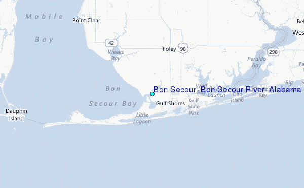
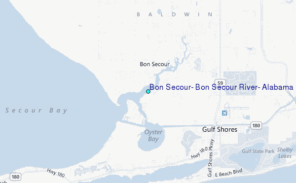
Choose Bon Secour, Bon Secour River, Alabama Location Map Zoom:
| Contours: | Roads & Rivers: | Select a
tide station / surf break / city |
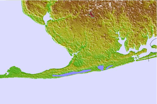

Use this relief map to navigate to tide stations, surf breaks and cities that are in the area of Bon Secour, Bon Secour River, Alabama.
Other Nearby Locations' tide tables and tide charts to Bon Secour, Bon Secour River, Alabama:
click location name for more details
 Surf breaks close to Bon Secour, Bon Secour River, Alabama:
|
||
|---|---|---|
| Closest surf break | West Pass | 4 mi |
| Second closest surf break | Terry s Cove | 9 mi |
| Third closest surf break | Alabama Point | 11 mi |
| Fourth closest surf break | Spuds | 11 mi |
| Fifth closest surf break | Dauphin Island Pier | 21 mi |

 Nearest
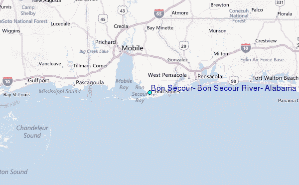