
| Distance / Altitude | Location | Report Date / Time | Live Weather | Wind | Gusts | Temp. | Visibility | Cloud |
|---|---|---|---|---|---|---|---|---|
| 10 km NW / 359 m | Port Moresby International Airport (Papua New Guinea) | 2024-04-26 11:00 local (2024/04/26 01:00 GMT) | Dry and partly cloudy | light winds from the SSE (19 km/h at 150) | 32°C | 10.0 | few scattered | |
| 331 km N / 70 m | Nadzab (Papua New Guinea) | 2024-04-26 11:00 local (2024/04/26 01:00 GMT) | Haze - | light winds from the ESE (9 km/h at 110) | 31°C | 10.0 | scattered scattered | |
| 350 km ESE / 23 m | Gurney (Papua New Guinea) | 2024-04-26 12:00 local (2024/04/26 02:00 GMT) | haze | - (- km/h at -) | 26°C | 40 | - | |
| 412 km N / 69 m | Mount Hagen Airport (Papua New Guinea) | 2024-04-26 12:00 local (2024/04/26 02:00 GMT) | Haze - | moderate winds from the E (22 km/h at 80) | 25°C | 10.0 | scattered | |
| 462 km WSW / 4 m | Coconut Island (Australia) | 2024-04-26 12:00 local (2024/04/26 02:00 GMT) | no report | - (- km/h at -) | 31°C | - | - |
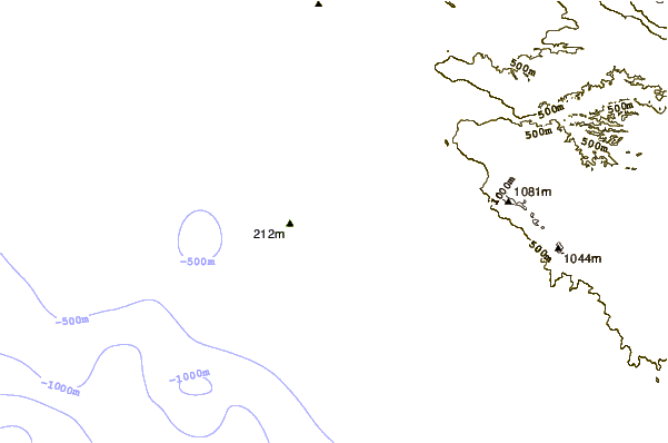
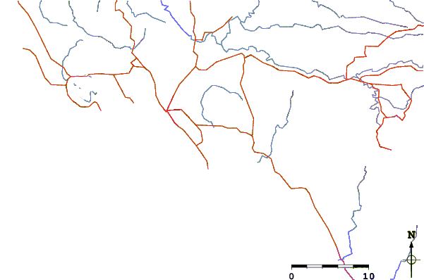
| Contours: | Roads & Rivers: | Select a
tide station / surf break / city |
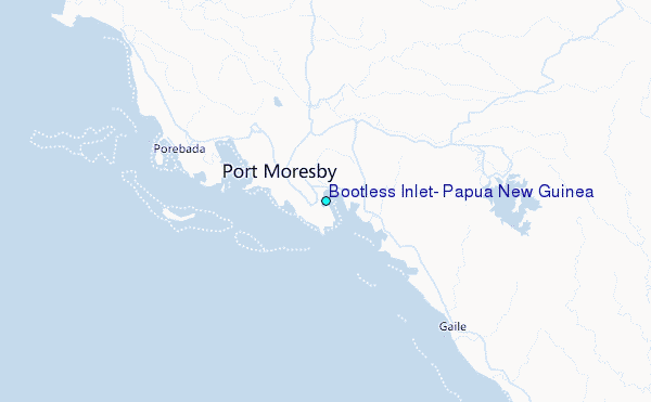
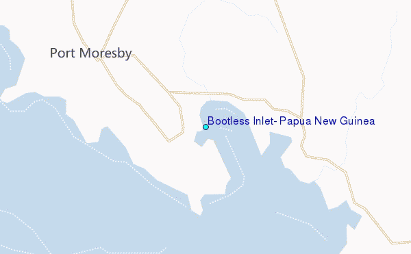
Use this relief map to navigate to tide stations, surf breaks and cities that are in the area of Bootless Inlet, Papua New Guinea.
Other Nearby Locations' tide tables and tide charts to Bootless Inlet, Papua New Guinea:
click location name for more details
 Surf breaks close to Bootless Inlet, Papua New Guinea:
|
||
|---|---|---|
| Closest surf break | Tupira Right | 371 mi |
| Second closest surf break | Forok Point | 472 mi |
| Third closest surf break | Moem Point | 478 mi |
| Fourth closest surf break | The Wharf (Mission Point) | 479 mi |
| Fifth closest surf break | Wewak Point | 480 mi |

 Nearest
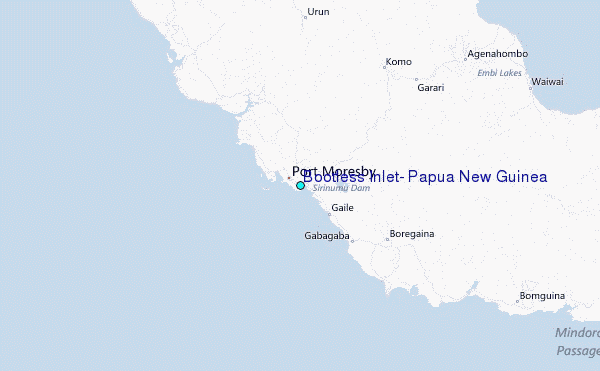