
| Distance / Altitude | Location | Report Date / Time | Live Weather | Wind | Gusts | Temp. | Visibility | Cloud |
|---|---|---|---|---|---|---|---|---|
| 24 km ENE / 411 m | Dzaoudzi/Pamanzi Airport (Comoros) | 2024-04-27 00:30 local (2024/04/26 21:30 GMT) | - | light winds from the N (7 km/h at 350) | — | 0.0 | ||
| 25 km ENE / 581 m | Pamandzi(Mayotte) (France) | 2024-04-27 00:00 local (2024/04/26 21:00 GMT) | Clear skies | light winds from the NNW (9 km/h at 340) | 28°C | 40 km | no observation | |
| 259 km WNW / 3 m | SHIP1624 (Marine) | 2024-04-27 00:00 local (2024/04/26 21:00 GMT) | light winds from the SSW (17 km/h at 200) | 23°C | 20.4 | |||
| 282 km ENE / 4 m | Iles Glorieuses (France) | 2024-04-27 00:00 local (2024/04/26 21:00 GMT) | no report | light winds from the SE (7 km/h at 130) | 28°C | - | - | |
| 335 km SSE / 194 m | Majunga/Mahajanga Airport (Comoros) | 2024-04-27 00:00 local (2024/04/26 21:00 GMT) | Dry and partly cloudy | calm (4 km/h at 1) | 27°C | 10.0 | few scattered |
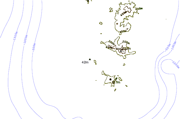
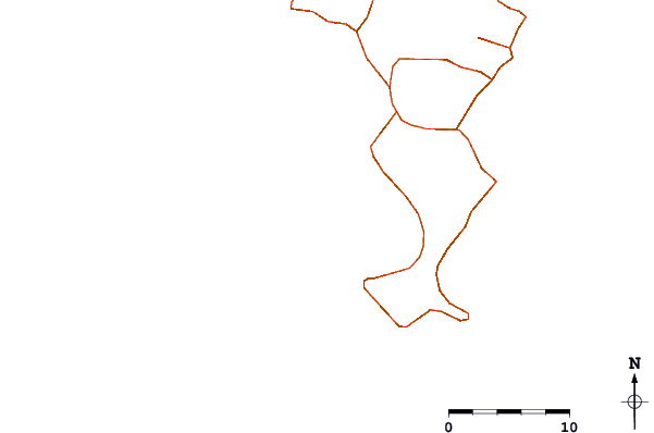
| Contours: | Roads & Rivers: | Select a
tide station / surf break / city |
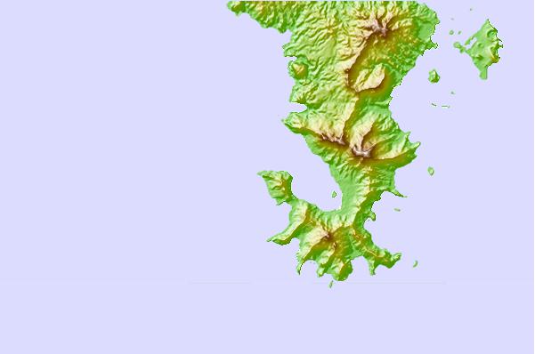
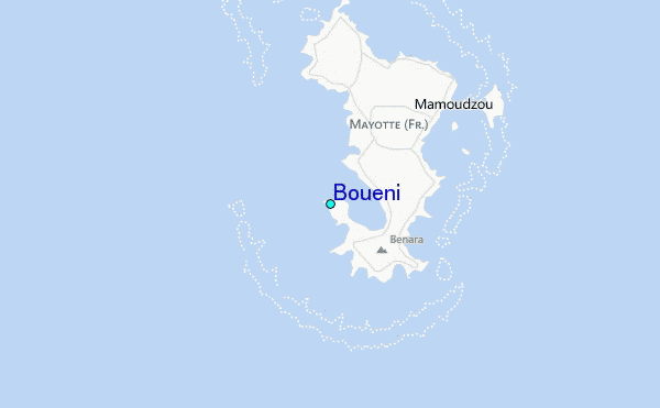
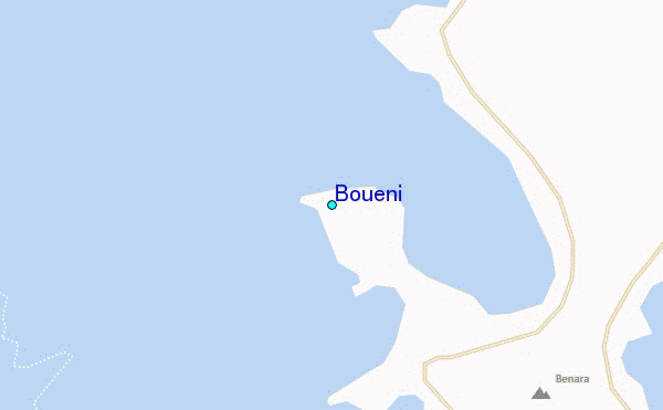
Use this relief map to navigate to tide stations, surf breaks and cities that are in the area of Boueni.
Other Nearby Locations' tide tables and tide charts to Boueni:
click location name for more details
 Surf breaks close to Boueni:
|
||
|---|---|---|
| Closest surf break | Oyster Bay Beach - Coco Beach | 579 mi |
| Second closest surf break | Sea Cliff | 580 mi |
| Third closest surf break | Jam's Right | 582 mi |
| Fourth closest surf break | Nungwi Reefs | 634 mi |
| Fifth closest surf break | Mombasa Channel | 712 mi |

 Nearest
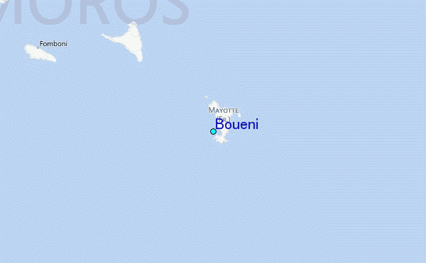