
| Distance / Altitude | Location | Report Date / Time | Live Weather | Wind | Gusts | Temp. | Visibility | Cloud |
|---|---|---|---|---|---|---|---|---|
| 279 km NNE / 134 m | Enugu (Nigeria) | 2024-04-26 00:00 local (2024/04/25 23:00 GMT) | Dry and partly cloudy | light winds from the SSE (7 km/h at 160) | 31°C | 10.0 | scattered mostly cloudy - | |
| 287 km ESE / 56 m | Malabo/Fernando Poo Airport (Equatorial Guinea) | 2024-04-26 01:00 local (2024/04/26 00:00 GMT) | - | light winds from the W (7 km/h at 280) | 27°C | 30 km | scattered | |
| 387 km E / 209 m | Douala Airport (Cameroon) | 2024-04-26 00:30 local (2024/04/25 23:30 GMT) | Dry and partly cloudy | calm (4 km/h at 1) | 28°C | 10.0 | broken few scattered | |
| 410 km WNW / 194 m | Lagos/ikeja Airport (Nigeria) | 2024-04-26 01:00 local (2024/04/26 00:00 GMT) | - | light winds from the SW (6 km/h at 230) | 28°C | 30 km | few mostly cloudy - | |
| 432 km WNW / 51 m | Ibadan Airport (Nigeria) | 2024-04-26 00:00 local (2024/04/25 23:00 GMT) | - | light winds from the SW (9 km/h at 220) | 27°C | 30 km | - mostly cloudy - |
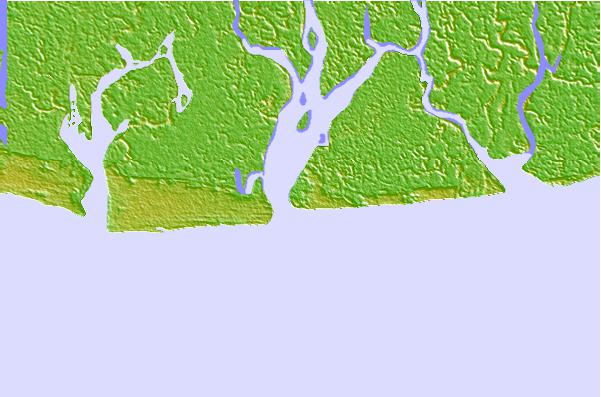
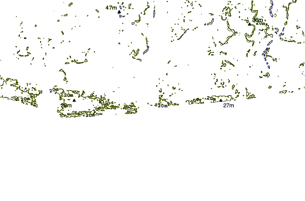
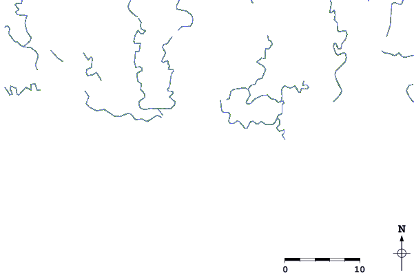
| Contours: | Roads & Rivers: | Select a
tide station / surf break / city |
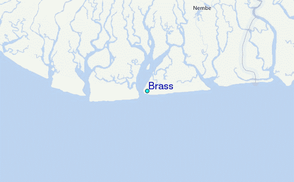
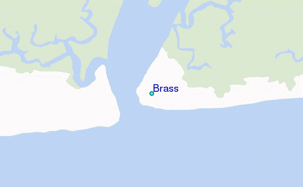
Use this relief map to navigate to tide stations, surf breaks and cities that are in the area of Brass.
Other Nearby Locations' tide tables and tide charts to Brass:
click location name for more details
 Surf breaks close to Brass:
|
||
|---|---|---|
| Closest surf break | Seme Beach Limbe | 201 mi |
| Second closest surf break | Lighthouse Beach | 244 mi |
| Third closest surf break | Tarqua Bay | 244 mi |
| Fourth closest surf break | Shipwreck | 259 mi |
| Fifth closest surf break | Kribi | 270 mi |

 Nearest
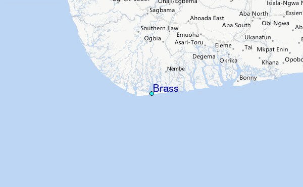